Rio Nutrias river run
Community Reviews
Been here? Share the conditions.
Reviews, ratings & photos are added in the free Snoflo iOS app — rate a spot, tag the conditions, and your visit is verified by location. Add or manage your reviews from the app.
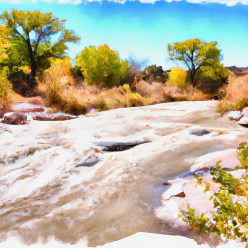
Rio Nutrias
Some of the specific rapids and obstacles on the Rio Nutrias include the "Milk Chute," "Pinball," and "S-Turn," among others. These rapids are known for their technicality and require proper navigation skills to successfully make it through. Furthermore, the river features several rock gardens and steep drops that require precise maneuvering.
There are specific regulations that visitors must follow when running Rio Nutrias. For instance, all boaters must wear a personal flotation device (PFD) at all times while on the river. Additionally, visitors are required to obtain a permit from the Santa Fe National Forest Service before accessing the river. The permit fee varies depending on the size of the group and the duration of the visit.
In conclusion, the Rio Nutrias offers an exhilarating whitewater river run for intermediate-level kayakers and rafters. Visitors must adhere to specific regulations, including obtaining permits and wearing PFDs at all times. The river features several challenging rapids and obstacles, making it a popular destination for adventurous whitewater enthusiasts.
Plan your run down to the hour
Same weather feed Snoflo's iOS app uses -- updated continuously from NOAA / yr.no. Watch the precipitation column on the meteogram; rain ahead of a run typically lifts flows 12-48 hours later depending on the basin.
Next 5 days, hour by hour
Temperature line with weather symbols on top, snow + rain accumulation as columns, humidity as a dotted line.
5-day forecast table
Every 3 hours, broken out across temperature, snow, rain, humidity, and wind. Each cell is colour-coded relative to the column min/max.
| Time | Condition | Temp (°F) | Snow (in) | Rain (in) | Humidity (%) | Wind (mps) | Wind dir |
|---|---|---|---|---|---|---|---|
| Loading detailed forecast… | |||||||
15-day temperature & precipitation
Daily temperatures, snow, and rain projected over the next two weeks -- the upstream story that drives next week's flows.
Regional streamflow levels
USGS streamgauges around Rio Nutrias -- useful for spotting upstream pulses and gauging which tributary is contributing what.
| Streamgauge | Discharge | View |
|---|---|---|
| Rio Chama Below El Vado Dam | 105 cfs | → |
| Rio Chama Near La Puente | 19 cfs | → |
| Rio Chama Above Abiquiu Reservoir | 105 cfs | → |
| Rio Chama Below Abiquiu Dam | 220 cfs | → |
| Navajo River Bl Oso Diversion Dam Nr Chromo | 24 cfs | → |
| Navajo R At Banded Peak Ranch | 24 cfs | → |
Plan a longer trip
The closest boat launches, other paddle runs, and campgrounds so a day on the water can grow into a full weekend.
Boat launches
Other river runs
- Private Land Boundary Below Canjilon To Nf Boundary
- Headwaters To Private Land Boundary
- 15 Springs To Fr 106 Bridge
- Hopewell Lake To Nf Boundary
Campgrounds
- El Vado Lake State Park
- Heron Reservoir Campground
- Heron Lake State Park
- Rio Chama Campground, Small Group Sites
- Rio Chama Campground
- Rio Chama
Fishing spots
- Rio Nutritas Fishing
- Hidden Lakes Fishing
- Rio Chama Fishing
- El Rito Creek Fishing
- Lagunitas Creek Fishing
- Rio Vallecitos Fishing
Parks
Whitewater safety
- Check the flow before you run
- Use the linked-gauge card and Regional Flow panel above. Class ratings change with flow -- a Class III at low water can become Class IV+ at high water.
- Know your skill ceiling
- Pick runs comfortably below your ceiling. Cold-water and big-water runs raise the consequences of any mistake.
- Wear the right gear
- Helmet, PFD, drysuit / wetsuit when water is below 60°F. Throw bag, knife, and whistle on your person, not in the boat.
- Scout, set safety, and run with a team
- Scout new rapids on foot, set safety with throw bags above the consequence pool, and run with at least one other competent paddler.
- Respect the river
- Strainers, undercuts, low-head dams, and wood can kill at any class rating. When in doubt, portage.
Set push alerts in the Snoflo app
Save Rio Nutrias as a favorite, set a discharge threshold (e.g. "alert me when flow hits 600 cfs"), and the iOS app pushes the moment the linked gauge crosses.
About Rio Nutrias
What's the optimal flow for Rio Nutrias?
The optimal flow depends on the section and the craft. Check the Run Details panel for the linked gauge and current status.
How fresh is the cfs reading on this page?
The linked USGS streamgauge reports continuously (every 15 minutes); Snoflo refreshes throughout the day. Hover the streamflow sparkline to read individual datapoints.
What's the whitewater class?
See the Run Details panel for the class rating Snoflo tracks for this run. Class ratings change with flow -- a Class III at low water can become Class IV in high water.
Where do I put in / take out?
Tap Directions in the hero above to open driving directions to the put-in. For shuttle planning, check the Nearby Boat Launches panel and the river run operator's site.
Can I get alerts when flows hit the optimal range?
Yes -- alerts are managed in the Snoflo iOS app. Favorite this run, set a discharge threshold, and you'll get a push the moment the gauge crosses.
Other runs near here
Snoflo-tracked paddle runs within driving distance of Rio Nutrias.