Summary
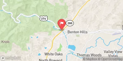
The ideal streamflow range for this section of the river is between 250-500 cubic feet per second (cfs). The class rating of the North Fork ranges from Class II to Class IV depending on water levels. The segment mileage of this run is approximately 8.5 miles, starting at the bottom of the spillway of Hendersonville Reservoir and ending at the confluence with the South Fork.
The North Fork features several challenging rapids, including Pinball, which is a long rapid with several narrow chutes and boulder obstacles. Another notable rapid is Swimmers, which features a large hole and steep drops. The river also has several smaller rapids and wave trains that provide fun and excitement for paddlers.
There are specific regulations in place for the North Fork of the Whitewater River. The use of alcohol and drugs is prohibited, and all paddlers must wear a personal flotation device at all times while on the river. Camping is not allowed along the riverbank, and any trash or debris must be carried out. Additionally, access to the river is limited to designated access points, and paddlers must respect private property and wildlife in the area.
°F
°F
mph
Wind
%
Humidity
15-Day Weather Outlook
River Run Details
| Last Updated | 2026-02-07 |
| River Levels | 86 cfs (1.85 ft) |
| Percent of Normal | 38% |
| Status | |
| Class Level | ii-iv |
| Elevation | ft |
| Streamflow Discharge | cfs |
| Gauge Height | ft |
| Reporting Streamgage | USGS 03446000 |
5-Day Hourly Forecast Detail
Nearby Streamflow Levels
 Mills River Near Mills River
|
94cfs |
 French Broad River Near Fletcher
|
888cfs |
 French Broad River At Blantyre
|
517cfs |
 Davidson River Near Brevard
|
64cfs |
 Swannanoa River At Biltmore
|
63cfs |
 French Broad River At Asheville
|
1040cfs |
Area Campgrounds
| Location | Reservations | Toilets |
|---|---|---|
 North Mills River Campground
|
||
 North Mills River
|
||
 Lake Powhatan
|
||
 Lake Powhatan Campground
|
||
 firefighter island campsite
|
||
 WF-3
WF-3
|
River Runs
-
 North Fork From Bottom Of Spillway Of Hendersonville Reservoir To Confluence With South Fork
-
 Nf Boundary To Confluence With North Fork
-
 Mills River From Confluence Of North/South Forks To Confluence With Foster Creek
-
 South Fork From Confluence With Pigeon Br To Nf Boundary
-
 East Fork From Us Highway 276 To Confluence Of Dark Prong And Yellowstone Prong


 Lake Julian Park
 Brooklawn Park
 Holmes Educational State Forest