Summary
The ideal streamflow range for this section of the river is between 300-800 cfs, which provides a good balance of challenging rapids and manageable flows. The class rating for this segment of the river is Class III-IV, which means it is suitable for experienced paddlers who are comfortable with technical maneuvers in challenging rapids.
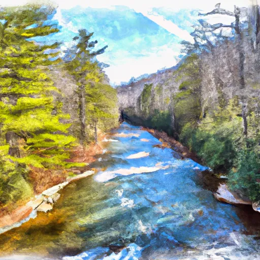
The segment mileage for the Whitewater River Run South Fork from Confluence with Pigeon Br to NF Boundary is approximately 12 miles. Along the route, paddlers will encounter several rapids and obstacles, including Sudden Death, Gorilla, and Sunshine. These rapids are known for their technical challenges and require precise maneuvering to navigate safely.
There are specific regulations that apply to the Whitewater River Run South Fork from Confluence with Pigeon Br to NF Boundary. Paddlers are required to wear personal flotation devices (PFDs) at all times while on the water. Additionally, river access is limited to designated areas, and paddlers are required to follow Leave No Trace principles to minimize their impact on the environment.
In conclusion, the Whitewater River Run South Fork from Confluence with Pigeon Br to NF Boundary is a challenging and exciting destination for experienced whitewater paddlers. With its technical rapids and manageable flows, this segment of the river is a great choice for those looking for a thrilling adventure. However, it's important to always follow safety regulations and respect the natural environment while on the water.
°F
°F
mph
Wind
%
Humidity
15-Day Weather Outlook
River Run Details
| Last Updated | 2026-02-07 |
| River Levels | 86 cfs (1.85 ft) |
| Percent of Normal | 38% |
| Status | |
| Class Level | iii-iv |
| Elevation | ft |
| Streamflow Discharge | cfs |
| Gauge Height | ft |
| Reporting Streamgage | USGS 03446000 |
5-Day Hourly Forecast Detail
Nearby Streamflow Levels
Area Campgrounds
| Location | Reservations | Toilets |
|---|---|---|
 North Mills River
|
||
 North Mills River Campground
|
||
 WF-3
WF-3
|
||
 Mount Pisgah Campground
|
||
 Mount Pisgah - Blue Ridge Parkway
|
||
 Davidson River Recreation Area
|
River Runs
-
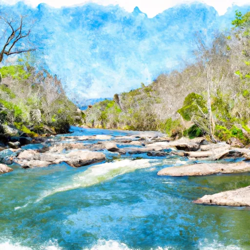 South Fork From Confluence With Pigeon Br To Nf Boundary
-
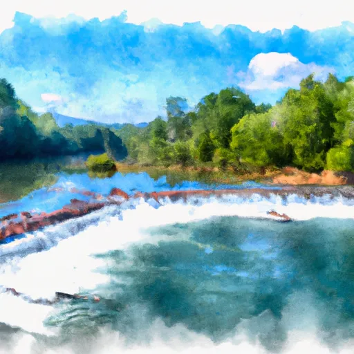 North Fork From Bottom Of Spillway Of Hendersonville Reservoir To Confluence With South Fork
-
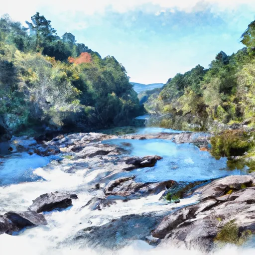 Nf Boundary To Confluence With North Fork
-
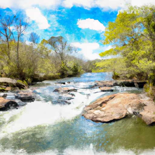 Mills River From Confluence Of North/South Forks To Confluence With Foster Creek
-
 East Fork From Us Highway 276 To Confluence Of Dark Prong And Yellowstone Prong
-
 Dark Prong From Headwaters To Confluence East Fork And Yellowstone Prong




 Lake Julian Park
 Holmes Educational State Forest
 Wilderness Shining Rock
 Brooklawn Park
 Carl Sandburg Home National Historic Site