Mills River From Confluence Of North/South Forks To Confluence With Foster Creek Paddle Report
Last Updated: 2026-04-24
°F
°F
mph
Wind
%
Humidity
Get the latest Paddle Report, Streamflow Levels, and Weather Forecast for Mills River From Confluence Of North/South Forks To Confluence With Foster Creek in North-Carolina. North-Carolina Streamflow Levels and Weather Forecast
Summary
Regional Streamflow Levels
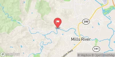 Mills River Near Mills River
|
59cfs |
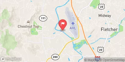 French Broad River Near Fletcher
|
595cfs |
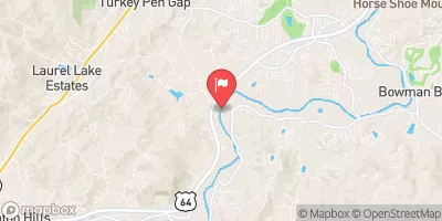 French Broad River At Blantyre
|
342cfs |
 Davidson River Near Brevard
|
44cfs |
 Swannanoa River At Biltmore
|
34cfs |
 French Broad River At Asheville
|
703cfs |
15-Day Long Term Forecast
River Run Details
| Last Updated | 2026-04-24 |
| River Levels | 86 cfs (1.85 ft) |
| Percent of Normal | 22% |
| Status | |
| Class Level | None |
| Elevation | ft |
| Streamflow Discharge | cfs |
| Gauge Height | ft |
| Reporting Streamgage | USGS 03446000 |
5-Day Hourly Forecast Detail
Area Campgrounds
| Location | Reservations | Toilets |
|---|---|---|
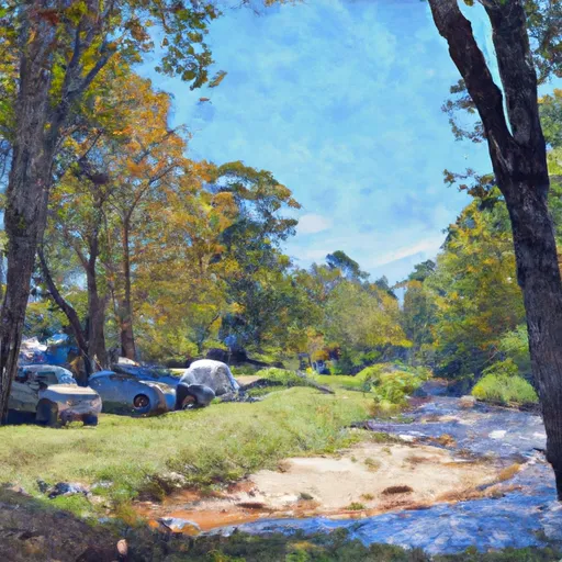 North Mills River Campground
|
||
 North Mills River
|
||
 Lake Powhatan
|
||
 Lake Powhatan Campground
|
||
 firefighter island campsite
|
||
 WF-3
WF-3
|
River Runs
-
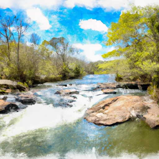 Mills River From Confluence Of North/South Forks To Confluence With Foster Creek
-
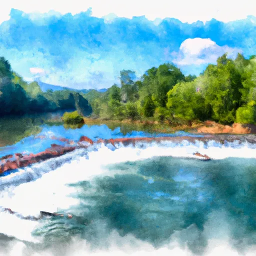 North Fork From Bottom Of Spillway Of Hendersonville Reservoir To Confluence With South Fork
-
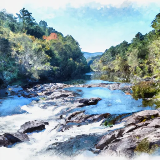 Nf Boundary To Confluence With North Fork
-
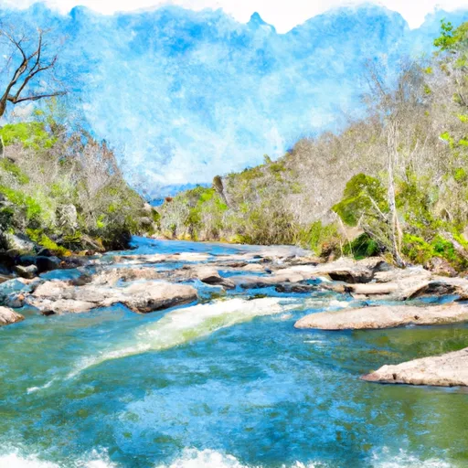 South Fork From Confluence With Pigeon Br To Nf Boundary
-
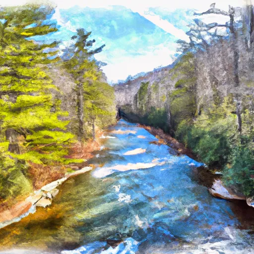 East Fork From Us Highway 276 To Confluence Of Dark Prong And Yellowstone Prong


 Lake Julian Park
 Brooklawn Park
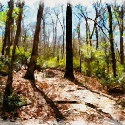 Holmes Educational State Forest
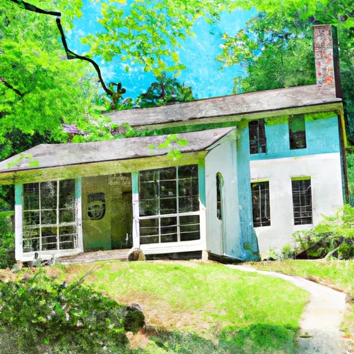 Carl Sandburg Home National Historic Site
 The French Broad River Park
 Continue with Snoflo Premium