Sloan's Bridge Crossing To 1/4 Mile Above The Walhalla Fish Hatchery Paddle Report
Last Updated: 2026-02-07
Get the latest Paddle Report, Streamflow Levels, and Weather Forecast for Sloan's Bridge Crossing To 1/4 Mile Above The Walhalla Fish Hatchery in North-Carolina. North-Carolina Streamflow Levels and Weather Forecast
Summary
°F
°F
mph
Wind
%
Humidity
15-Day Weather Outlook
River Run Details
| Last Updated | 2026-02-07 |
| River Levels | 108 cfs (2.13 ft) |
| Percent of Normal | 35% |
| Status | |
| Class Level | None |
| Elevation | ft |
| Streamflow Discharge | cfs |
| Gauge Height | ft |
| Reporting Streamgage | USGS 03439000 |
5-Day Hourly Forecast Detail
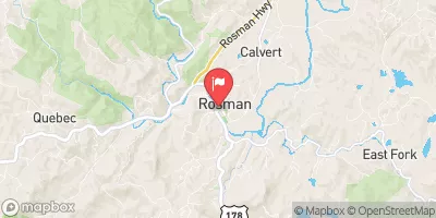
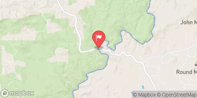
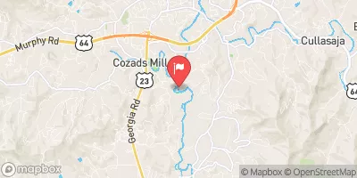
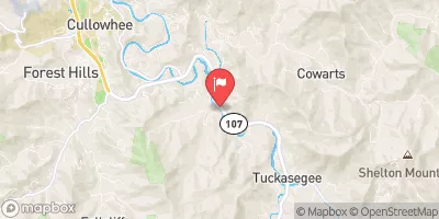
Nearby Streamflow Levels
Area Campgrounds
| Location | Reservations | Toilets |
|---|---|---|
 Burrells Ford
|
||
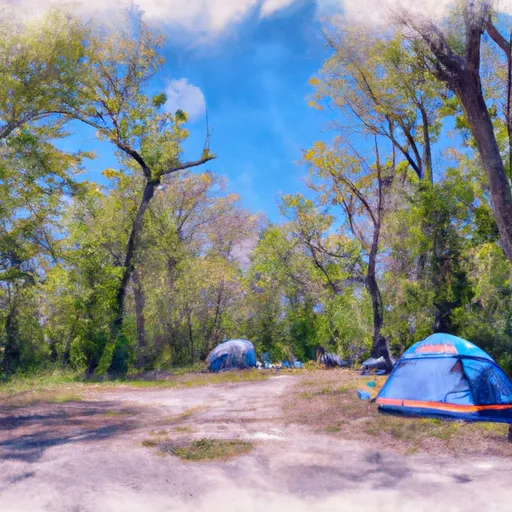 Cherry Hill Recreation Area
|
||
 Sandy Beach Campsite
|
||
 Devils Fork State Park
|
||
 Bearcamp Creek Campsite
|
||
 Oconee State Park
|
River Runs
-
 Sloan'S Bridge Crossing To 1/4 Mile Above The Walhalla Fish Hatchery
-
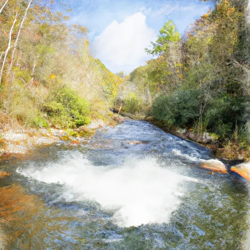 1/4 Mile Above The Walhalla Fish Hatchery To 1/4 Mile Below The Walhalla Fish Hatchery
-
 Headwaters To Sloan'S Bridge Crossing, Crossing Of Sc 107
-
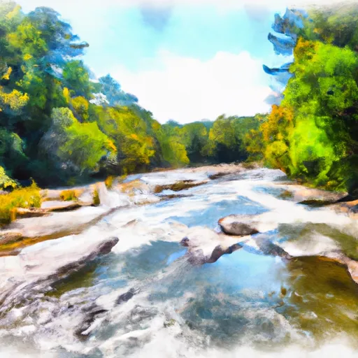 1/4 Mile Below Walhalla Fish Hatchery To Boundary Of Chattooga Wsr
-
 Burrels Ford to Lick Log Branch (Section 1)
-
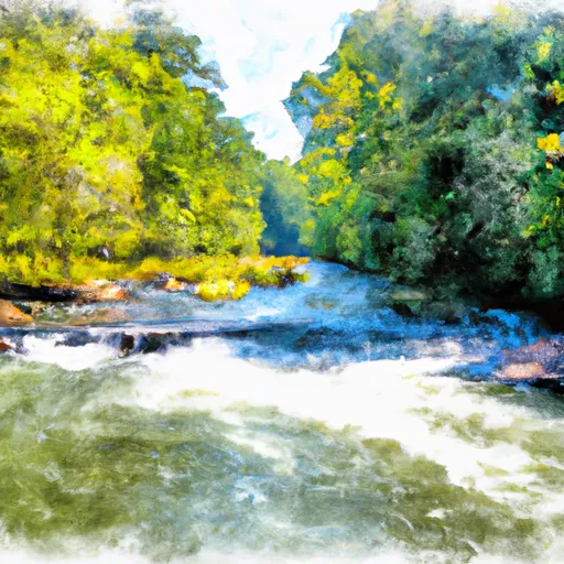 Beginning Just Upstream Of Townes Creek,Wash Branch And Crane Creek To Confluence With Kings Creek


 Devils Fork Road Oconee County
 Toxaway Game Land
 Devils Fork State Park
 Oconee State Park
 Gorges State Park
 Keowee-Toxaway State Park