Summary
This section of the river is only suitable for experienced rafters and kayakers due to its challenging rapids and technical maneuvers required. The best time to float this section is typically from late May through early July when the snow melt provides optimal water levels ranging from 800-1200 CFS. Specific river obstacles include the "Staircase" rapid, "Just Enough" rapid, and "Sledgehammer" rapid, all of which require precise navigation skills.
°F
°F
mph
Wind
%
Humidity
15-Day Weather Outlook
River Run Details
| Last Updated | 2023-06-13 |
| River Levels | 183 cfs (11.18 ft) |
| Percent of Normal | 88% |
| Optimal Range | 200-5000 cfs |
| Status | Too Low |
| Class Level | III+ to IV+ |
| Elevation | 8,629 ft |
| Run Length | 4.9 Mi |
| Gradient | 70 FPM |
| Streamflow Discharge | 157 cfs |
| Gauge Height | 11.0 ft |
| Reporting Streamgage | USGS 07087050 |
5-Day Hourly Forecast Detail
Nearby Streamflow Levels
Area Campgrounds
| Location | Reservations | Toilets |
|---|---|---|
 Dawson Cabin
|
||
 Weston Pass Campground
|
||
 Weston Pass
|
||
 Camp site, free, without facilities
|
||
 Sunnyside
|
||
 Dexter Campground
|


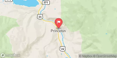
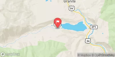
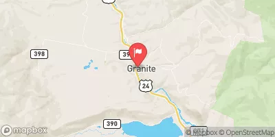
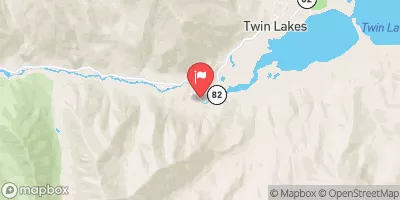
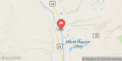
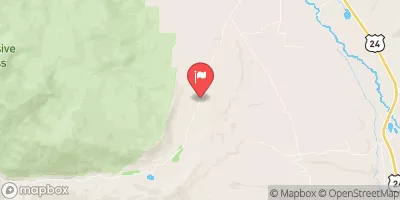
 AHRA - Number 4 Rec Site
 CR 390 Chaffee County
 AHRA - Railroad Bridge Rec Site
 Numbers
 Pine Creek (Granite to Numbers)
 Fractions
 Clear Creek of the Arkansas
 Buena Vista Whitewater Park
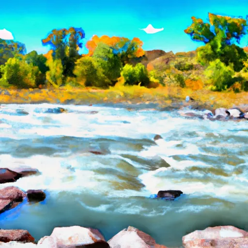 Arkansas River Segment 2
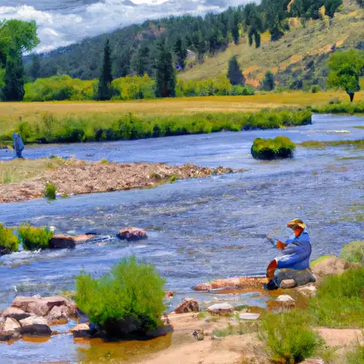 Rich Creek
 Sunnyside Fishing Site
 Whistler Point
 Big Mac Fishing Site
 Deception Point Fishing Site