Summary
The ideal streamflow range for this stretch of river is between 1000-3000 cubic feet per second (cfs), which usually occurs during the spring months of March to June. The class rating for this segment of the river ranges from Class III to IV, making it suitable for experienced rafters.
The segment mileage of this section of the Whitewater River Run is approximately 11 miles. The rapids and obstacles along this stretch of river include the "Unnamed Rapid," which is a Class III+ drop, and "Landslide Rapid," which is a Class IV rapid with large boulders and a steep drop. Rafters should also be aware of the "Strainer Rapid," which features a fallen tree that can be dangerous to navigate around.
Specific regulations for this area include the requirement of personal floatation devices for all rafters, as well as a minimum of one person per boat with swiftwater rescue training. Additionally, the use of alcohol and drugs is strictly prohibited while on the river.
°F
°F
mph
Wind
%
Humidity
15-Day Weather Outlook
River Run Details
| Last Updated | 2026-02-07 |
| River Levels | 149 cfs (4.7 ft) |
| Percent of Normal | 29% |
| Status | |
| Class Level | iii-iii+ |
| Elevation | ft |
| Streamflow Discharge | cfs |
| Gauge Height | ft |
| Reporting Streamgage | USGS 14303600 |
5-Day Hourly Forecast Detail
Nearby Streamflow Levels
 Nestucca River Near Beaver
|
963cfs |
 Trask River Above Cedar Creek
|
790cfs |
 Tucca Creek Near Blaine
|
15cfs |
 Wilson River Near Tillamook
|
779cfs |
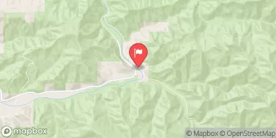 Nehalem River Near Foss
|
1670cfs |
 South Yamhill River At Mcminnville
|
1660cfs |
Area Campgrounds
| Location | Reservations | Toilets |
|---|---|---|
 Hebo Lake
|
||
 Hebo Lake Campground
|
||
 Whalen Island
|
||
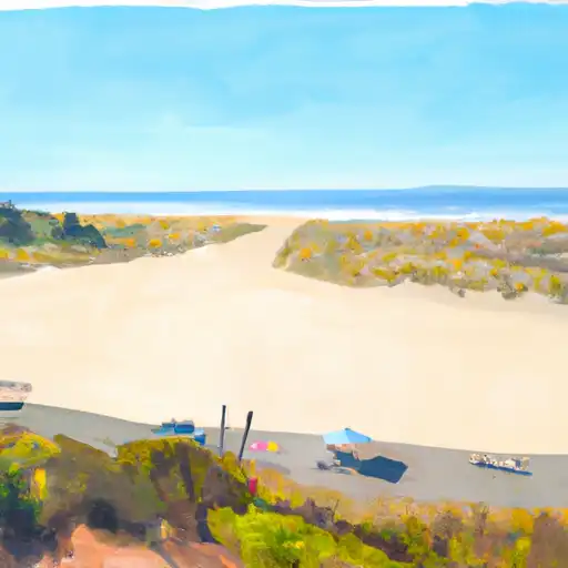 East Dunes
|
||
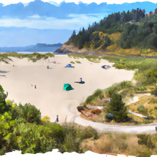 Sand Beach
|
||
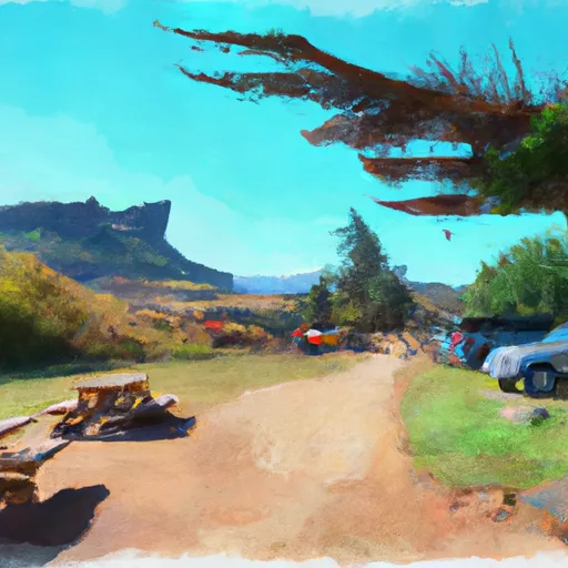 Castle Rock Group Campground
|


 Bixby
Bixby
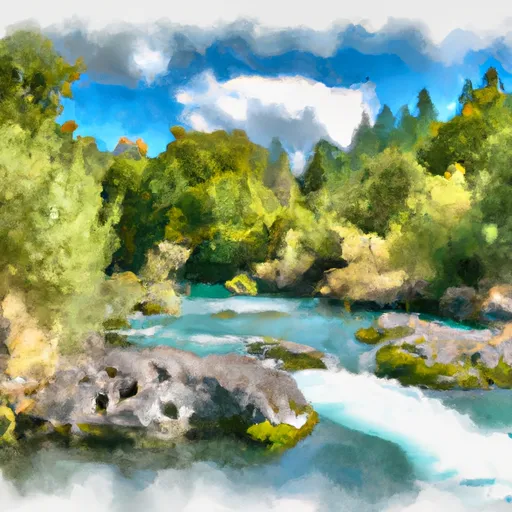 Rm 15 To Rm 26 (Above Confluence Of Limestone Creek)
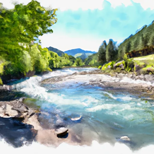 Rm 7 To Rm 15 (Town Of Beaver)
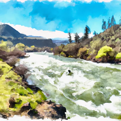 Rm 26 To Rm 32 Confluence With Wsr
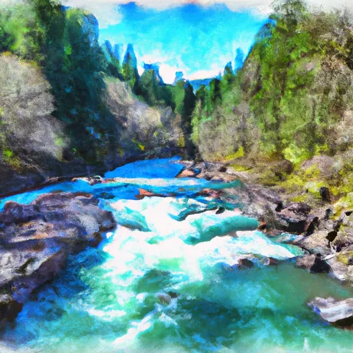 South Fork Trask River
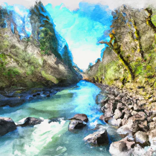 Nestucca River Seg B
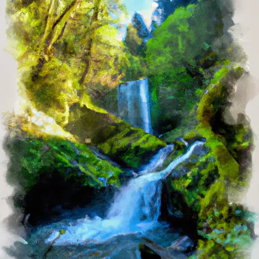 Munson Creek Falls State Natural Site
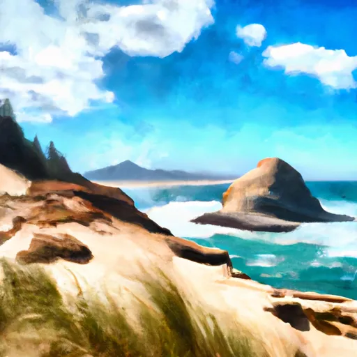 Cape Kiwanda State Natural Area
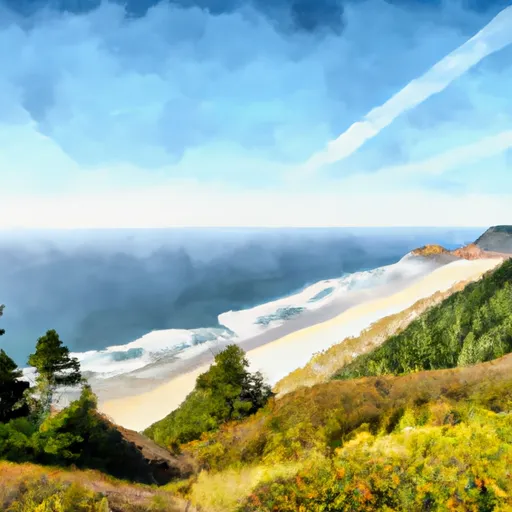 Cape Lookout State Park
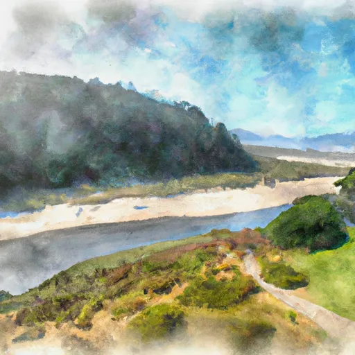 Bob Straub State Park