2026-02-19T10:00:00-08:00
* WHAT...For the Winter Weather Advisory below 1500 ft, wet snow expected. Additional snow accumulations of 1 to 3 inches. For the Winter Storm Warning above 1500 ft, heavy snow expected. Additional snow accumulations 3 to 6 inches for the passes north of I-5, and the Illinois Valley except up to 10 inches for the southern portions of the Illinois Valley. 1 to 2 ft in the Kalmiopsis Wilderness region. * WHERE...For the Winter Weather Advisory below 1500 ft, this includes Grants Pass, Wilderville, Merlin, Galice and Agness as well as portions of I-5 and Highway 199. For the Winter Storm Warning above 1500 ft, this includes Cave Junction, Obrien, Selma and Wolf Creek. This also includes portions of I-5 and Highway 199 and the Sexton Pass, Smith Hill and Stage Pass on I-5, Hayes Hill on Highway 199 and Bear Camp road in the Kalmiopsis Wilderness. * WHEN...Until 10 AM PST Thursday. * IMPACTS...Travel may be very difficult to impossible. The hazardous conditions could impact the evening and morning commutes. * ADDITIONAL DETAILS...Precipitation will be lighter and more showery tonight into Wednesday with mostly light accumulations. Another round of heavier snowfall is expected Wednesday night into Thursday. Visit weather.gov/mfr/winter for additional snow probabilities
Summary
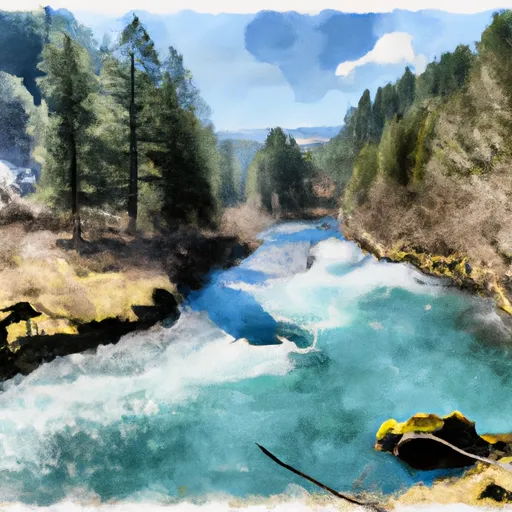
The ideal streamflow range for this section of the river is between 500 and 1200 cubic feet per second (cfs). The class rating for this section is a challenging Class IV-V, which means that the rapids are intense and require precise navigation.
The segment mileage for this section is approximately 7 miles, and it includes some of the most exciting rapids in the area. Some of the specific river rapids and obstacles include the "Punchbowl," "Rock Garden," and "Triple Drop." These rapids are particularly challenging and require skilled navigation to avoid potential hazards.
It is important to note that there are specific regulations to the area that must be followed. These regulations include wearing a personal flotation device (PFD) at all times while on the river and following all safety guidelines provided by licensed outfitters. It is also crucial to respect private property along the river and to avoid littering or damaging the natural environment.
In conclusion, the Whitewater River Run from Confluence with Breezy Creek to Confluence with West Fork Indigo Creek in Oregon is a challenging and exciting adventure for experienced rafters. The ideal streamflow range is between 500 and 1200 cfs, and the class rating is Class IV-V. With specific regulations to follow, this section of the river provides a thrilling and safe experience for those who are up for the challenge.
°F
°F
mph
Wind
%
Humidity
15-Day Weather Outlook
River Run Details
| Last Updated | 2026-02-07 |
| River Levels | 3550 cfs (3.86 ft) |
| Percent of Normal | 31% |
| Status | |
| Class Level | iv-v |
| Elevation | ft |
| Streamflow Discharge | cfs |
| Gauge Height | ft |
| Reporting Streamgage | USGS 14372300 |
5-Day Hourly Forecast Detail
Nearby Streamflow Levels
 Rogue River Near Agness
|
3310cfs |
 Illinois River Near Kerby
|
662cfs |
 West Fork Cow Creek Near Glendale
|
101cfs |
 Applegate River Near Wilderville
|
345cfs |
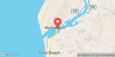 Rogue River At Hwy 101 Bridge
|
3580cfs |
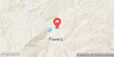 South Fork Coquille River At Powers
|
366cfs |
Area Campgrounds
| Location | Reservations | Toilets |
|---|---|---|
 Grassy Flats
|
||
 Grassy Flats Dispersed Campsites
|
||
 Oak Flat /Gravel Bar
|
||
 Bear Camp Campground
|
||
 Briggs Creek Campground
|
||
 Sam Brown Campground
|
River Runs
-
 Confluence With Breezy Creek To Confluence With West Fork Indigo Creek
-
 West Indigo Lake (Sw1/4 Of Sec 26, T34S, R7W) To Confluence With East Fork Indigo
-
 Falls (Sw1/4 Of Sec 24, T35S, R10W) To Confluence With Silver Creek
-
 Confluence With Chief Creek To Confluence With Breezy Creek
-
 Little Silver Lake To Confluence With Silver Creek
-
 Landslide (Se1/4 Of Sec 33, T35S, R10W) To Confluence With West Indigo Creek

