2026-02-25T00:00:00-08:00
* WHAT...Flooding caused by excessive rainfall is possible. * WHERE...A portion of northwest California, including the following areas, Coastal Del Norte, Del Norte Interior, Mendocino Coast, Northeastern Mendocino Interior, Northern Humboldt Coast, Northern Humboldt Interior, Northern Lake, Northern Trinity, Northwestern Mendocino Interior, Southeastern Mendocino Interior, Southern Humboldt Interior, Southern Lake, Southern Trinity, Southwestern Humboldt and Southwestern Mendocino Interior. * WHEN...From Monday evening through Tuesday evening. * IMPACTS...There will be an increased risk of rock and land slides along roadways. Excessive runoff may result in flooding of rivers, creeks, streams, and other low-lying and flood-prone locations. * ADDITIONAL DETAILS... - A prolonged duration of moderate to heavy rain is expected. - http://www.weather.gov/safety/flood
Summary
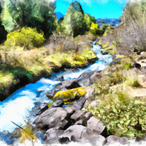
The ideal streamflow range for this river is between 700-1200 cfs, which is typically available from April through early June. The West Fork Illinois River is rated as a Class III-IV river, meaning it offers intermediate to advanced level rapids with moderate to high difficulty.
The total segment mileage of the West Fork Illinois River run is approximately 9 miles, which can typically be completed in about 4-5 hours. Specific rapids and obstacles on this river include the Wildcat Rapid, Boulder Alley, and the infamous Green Wall. The Green Wall is a Class IV rapid that offers a steep and technical drop, and is considered the most challenging part of the run.
There are specific regulations in place for the West Fork Illinois River, including a mandatory shuttle service for all rafters and kayakers. Additionally, all boaters must obtain a permit from the Bureau of Land Management and follow Leave No Trace principles to help preserve the natural beauty of the area. It is also recommended that all boaters wear proper safety gear, such as a helmet and life jacket, and have experience with Class III-IV rapids.
Overall, the West Fork Illinois River is a thrilling whitewater river run for experienced rafters and kayakers seeking a challenging adventure in a beautiful natural setting. It is important to follow regulations and safety guidelines to ensure a safe and enjoyable experience on the river.
°F
°F
mph
Wind
%
Humidity
15-Day Weather Outlook
River Run Details
| Last Updated | 2025-06-28 |
| River Levels | 347 cfs (0.2 ft) |
| Percent of Normal | 30% |
| Status | |
| Class Level | iii-iv |
| Elevation | ft |
| Streamflow Discharge | cfs |
| Gauge Height | ft |
| Reporting Streamgage | USGS 14400000 |
5-Day Hourly Forecast Detail
Nearby Streamflow Levels
 Illinois River Near Kerby
|
806cfs |
 Sucker Cr Bl Lt Grayback Cr Nr Holland
|
95cfs |
 Smith R Nr Crescent City Ca
|
2200cfs |
 Chetco River Near Brookings
|
1420cfs |
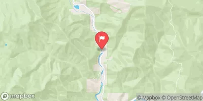 Indian C Nr Happy Camp Ca
|
214cfs |
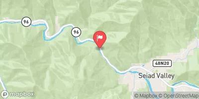 Klamath R Nr Seiad Valley Ca
|
5840cfs |
Area Campgrounds
| Location | Reservations | Toilets |
|---|---|---|
 Patrick Creek Campground
|
||
 Patrick Creek
|
||
 Grassy Flat
|
||
 Grassy Flat Campground
|
||
 Shady Acres
|
River Runs
-
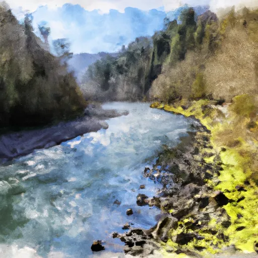 West Fork Illinois River
-
 Headwaters Including Both Unnamed Forks And Rr Lakes To Confluence With Rough And Ready Creek
-
 Confluence Of North And South Forks Rough And Ready To Middle Of Sec 15, T40S, R9W
-
 Middle Of Sec 15, T40S, R4E To Siskyou Nf Boundary (East Section Line Of Sec 13, T40S, R4E)
-
 West Section Line Of Sec 31, T40S, R10W To Confluence With North Fork Smith River
-
 Headwaters And Perennial Tributaries To West Section Line Of Sec 31, T40S, R10W


 Rough and Ready Creek Botanical Wayside
 Rough and Ready State Natural Site
 Wilderness Kalmiopsis