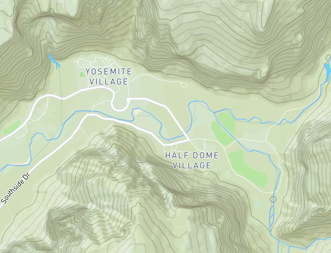
Summary
The river features several significant obstacles, including challenging rapids like Split Falls and tight, technical channels. The best time to float this section is in the late spring or early summer when the water is high, ideally around 4,000-7,000 CFS. This river run is not recommended for novice or inexperienced boaters.
Regional Streamflow Levels
15-Day Long Term Forecast
River Run Details
| Last Updated | 2023-06-13 |
| River Levels | 117 cfs (6.55 ft) |
| Percent of Normal | 96% |
| Status | Too High |
| Class Level | V to V+ |
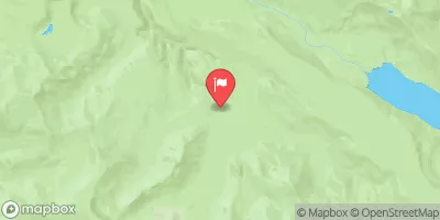
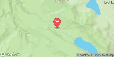
| Elevation | 6,076 ft |
| Run Length | 5.4 Mi |
| Gradient | 143 FPM |
| Streamflow Discharge | 455 cfs |
| Gauge Height | 8.1 ft |
| Reporting Streamgage | USGS 13296000 |
5-Day Hourly Forecast Detail
Area Campgrounds
| Location | Reservations | Toilets |
|---|---|---|
 Green Canyon
|
||
 Green Canyon Campground
|
||
 Tollgate Campground/Day-Use
|
||
 Tollgate
|
||
 Trillium Lake Campground
|
||
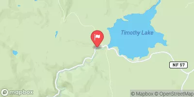
 Timothy Lake- North Arm Campground
|

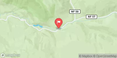
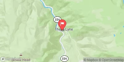
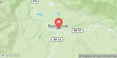

 Hoodview Campground
 Salmon River Canyon (Split Falls to Road Access)
 Welches Run
 North Fork Clackamas River
 Mt. Hood Wilderness Boundary To Confluence With Sandy River
 Timothy Lake Dam To Slackwater Of Harriet Lake
 National Wild and Scenic River Salmon, Oregon
 National Wild and Scenic River Roaring, Oregon
 Wildwood Recreation Site
 Wilderness Mount Hood
 Wilderness Roaring River
 Continue with Snoflo Premium