Summary
The ideal streamflow range for this run is between 400 and 1000 cfs. The river is rated as Class III to IV, which means that there are some challenging rapids and obstacles to overcome. The run is approximately 11 miles long and takes about 4-5 hours to complete.
The first segment of the run is a gentle Class I to II section that is perfect for warm-up and practice. The second segment is a Class II to III section that includes some exciting rapids like Little Niagara and Big Kahuna. The third segment is the most challenging, with Class III to IV rapids like Squeeze Play and Last Chance.
There are specific regulations to the area, including the requirement of a permit to access the river. The permit can be obtained from the Bureau of Land Management, and there are also specific rules about camping, fires, and littering. It is important to follow these regulations to ensure the safety of all participants and protect the natural environment.
Overall, the Whitewater River Run in Utah offers an exciting and challenging adventure for experienced kayakers and river rafters. The varying rapids and obstacles, ideal streamflow range, and specific regulations make it a unique and thrilling experience.
°F
°F
mph
Wind
%
Humidity
15-Day Weather Outlook
River Run Details
| Last Updated | 2025-11-25 |
| River Levels | 760 cfs (3.98 ft) |
| Percent of Normal | 56% |
| Status | |
| Class Level | iii-ii |
| Elevation | ft |
| Streamflow Discharge | cfs |
| Gauge Height | ft |
| Reporting Streamgage | USGS 09217900 |
5-Day Hourly Forecast Detail
Nearby Streamflow Levels
Area Campgrounds
| Location | Reservations | Toilets |
|---|---|---|
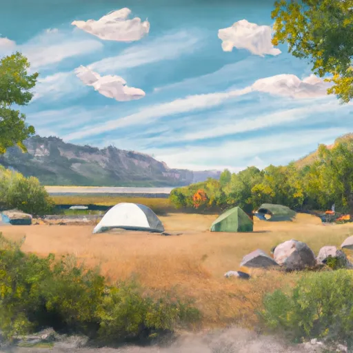 Little Lyman Lake Campground
|
||
 Little Lyman Lake
|
||
 Trail Head Campground
|
||
 China Meadows
|
||
 China Meadows Campground
|
||
 Marsh Lake
|


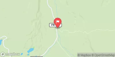
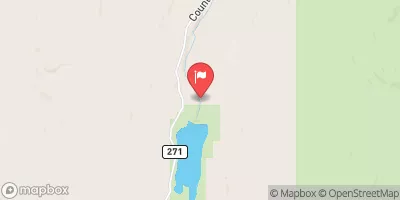
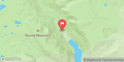
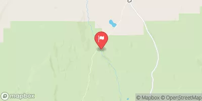
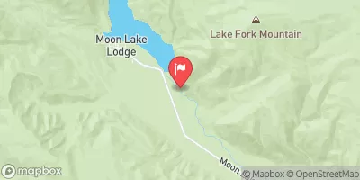
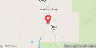
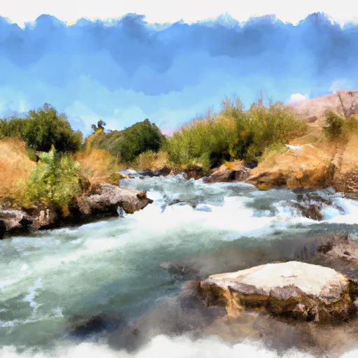 Source To Mouth
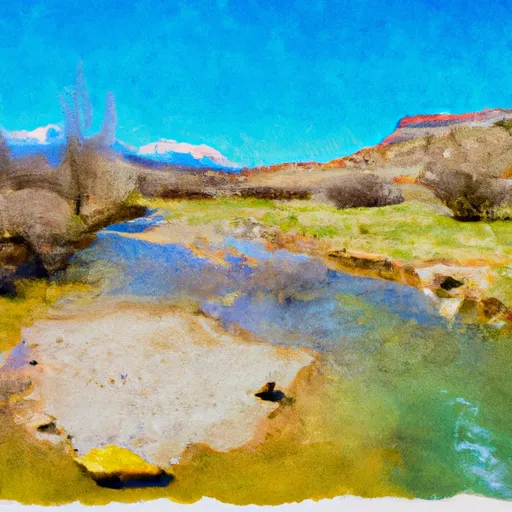 Source To Confluence With Little East Fork
 East Fork of the Blacks Fork
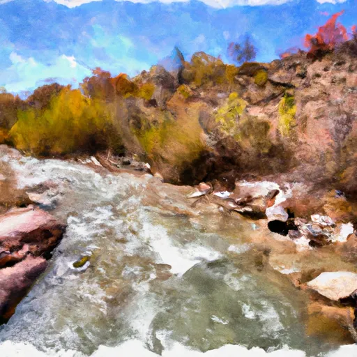 Source To Wilderness Boundary
 West Fork of the Blacks Fork
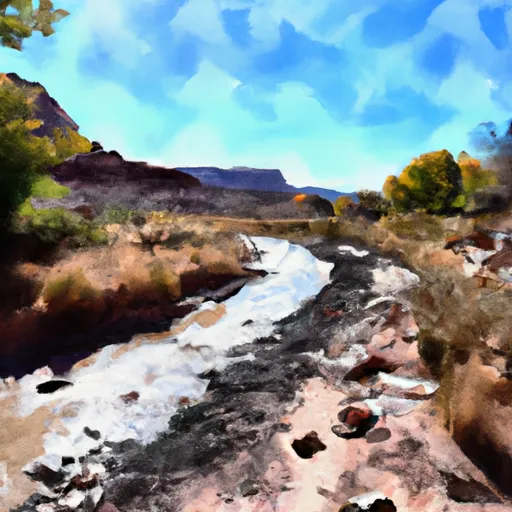 Wilderness Boundary To Trailhead
 Little Lyman Lake
 China Lake
 Marsh Lake
 Lym Lake
 Henrys Fork River