2026-02-19T05:00:00-07:00
* WHAT...Heavy snow. Total snow accumulations between 1 and 2 feet with locally higher accumulations up to 30 inches across the upper Cottonwoods. * WHERE...The Wasatch Mountains, and Western Uinta Mountains. * WHEN...Until 5 AM MST Thursday. * IMPACTS...Winter driving conditions can be expected on all mountain routes. Traction restrictions are likely.
Summary
The ideal streamflow range for this river is between 600-1200 cfs, according to American Whitewater. This river is rated Class III-IV, meaning it has medium to high difficulty rapids with moderate to high levels of danger. The river run is approximately 14 miles in length and is divided into three segments.
The Upper segment, which covers 3 miles, is Class II-III. The Middle segment, covering 5 miles, has the most challenging rapids, including "Pyramid," "Devil's Slide," and "The Maze." This segment is rated Class IV. Finally, the Lower segment, covering 6 miles, is Class III.
The Whitewater River has several rapids and obstacles that kayakers and rafters should be aware of. Some of the most notable rapids include "Pyramid," a Class IV rapid with a steep drop and a tight turn; "The Maze," a Class IV rapid with a narrow chute and a sharp turn; and "The Narrows," a Class III rapid with a rocky entrance and a narrow channel.
There are specific regulations for the Whitewater River that visitors should be aware of. Permits are required for all commercial and private trips on the river, and all visitors must follow Leave No Trace principles and pack out all trash. Additionally, visitors should be aware of the potential for flash floods and take necessary precautions.
Overall, the Whitewater River provides a thrilling and challenging experience for kayakers and rafters. With its ideal streamflow range, class rating, segment mileage, specific rapids/obstacles, and specific regulations, this river is a must-visit for outdoor enthusiasts looking for an adventure in Utah.
°F
°F
mph
Wind
%
Humidity
15-Day Weather Outlook
River Run Details
| Last Updated | 2025-11-25 |
| River Levels | 760 cfs (3.98 ft) |
| Percent of Normal | 56% |
| Status | |
| Class Level | iii-iv |
| Elevation | ft |
| Streamflow Discharge | cfs |
| Gauge Height | ft |
| Reporting Streamgage | USGS 09217900 |
5-Day Hourly Forecast Detail
Nearby Streamflow Levels
Area Campgrounds
| Location | Reservations | Toilets |
|---|---|---|
 Little Lyman Lake Campground
|
||
 Little Lyman Lake
|
||
 Trail Head Campground
|
||
 China Meadows
|
||
 China Meadows Campground
|
||
 East Fork Bear River
|


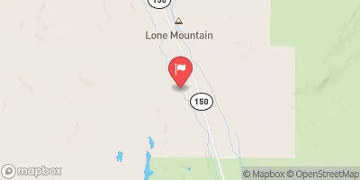
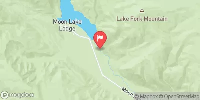
 Source To Confluence With Little East Fork
 Source To Mouth
 East Fork of the Blacks Fork
 Source To Wilderness Boundary
 West Fork of the Blacks Fork
 Wilderness Boundary To Trailhead
 Little Lyman Lake
 Lym Lake
 China Lake
 Baker Lake
 Marsh Lake