Summary
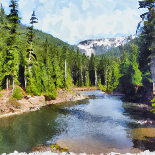
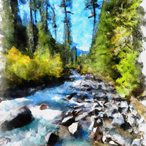
The ideal streamflow range for this run is between 1,000 and 3,000 cfs, with the highest flows occurring during the spring snowmelt season. This run features a series of challenging rapids and obstacles, including Grasshopper, Boulder Drop, and Rattlesnake.
One notable feature of this river is the narrow canyon walls, which can make navigation tricky. It is important to be aware of the specific regulations to the area, including the requirement for each person on the river to wear a properly fitted personal flotation device (PFD). Additionally, there are restrictions on launching from certain areas and on the use of alcohol on the river. It is recommended to check with local authorities before embarking on this run to ensure compliance with all regulations.
°F
°F
mph
Wind
%
Humidity
15-Day Weather Outlook
River Run Details
| Last Updated | 2026-02-07 |
| River Levels | 958 cfs (3.18 ft) |
| Percent of Normal | 42% |
| Status | |
| Class Level | iii-iv |
| Elevation | ft |
| Streamflow Discharge | cfs |
| Gauge Height | ft |
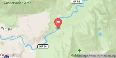
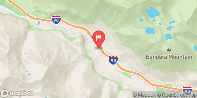
| Reporting Streamgage | USGS 12141300 |
5-Day Hourly Forecast Detail
Nearby Streamflow Levels
Area Campgrounds
River Runs
-
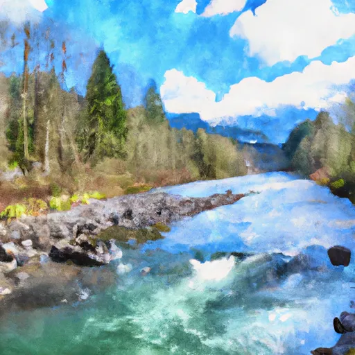 Quartz Road To Confluence With Middle Fork Snoqualmie River
-
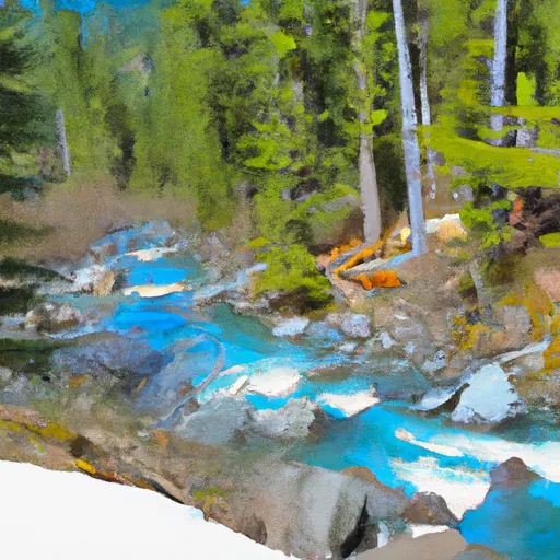 Alpine Lakes Wilderness Boundary To Quartz Creek Road
-
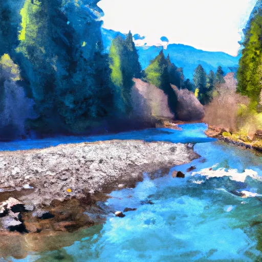 Outlet Of Snoqualmie Lake To Alpine Lakes Wilderness Boundary
-
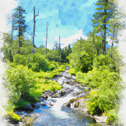 Headwaters In Se1/4 Of Sec 31, T24 1/2N, R11E To Alpine Lakes Wilderness Boundary
-
 Lake Dorothy To Alpine Lakes Wilderness Boundary
-
 Alpine Lakes Wilderness Boundary To Confluence With West Fork Miller River


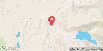
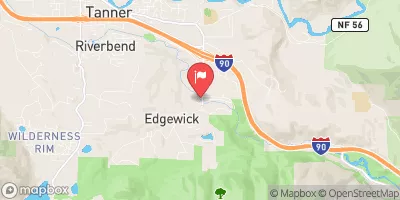
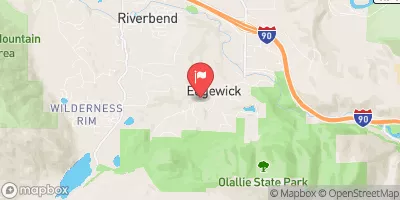
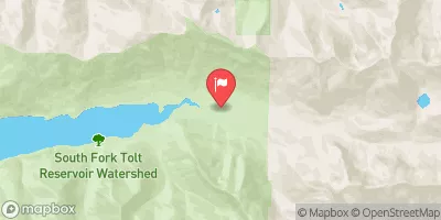
 Pratt River Backcountry Camping
 Middle Fork Backcountry Camping
 Lower Tuscohatchie Lake Backcountry Camping
 Mason Lake Backcountry Camping
 Hardscrabble Horse Camp
 Alice Creek Campsite
 Three Forks Park
 E J Roberts Park
 Si View County Park
 Shamrock Park