Summary
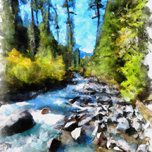
The ideal streamflow range for this section of the river is between 500 and 2000 cfs. The river is rated as Class III in difficulty, with a segment mileage of approximately 8 miles.
The river features several rapids, including Boulder Drop, a Class IV rapid that requires careful navigation through a boulder-filled channel. Other notable rapids include Pinball, Mile Long, and Staircase.
There are specific regulations in place for this area, including the requirement for a valid Washington State Discover Pass or other valid recreation pass to access the trailhead. Additionally, boaters are required to practice Leave No Trace principles and are urged to wear appropriate safety gear, including helmets and personal flotation devices.
°F
°F
mph
Wind
%
Humidity
15-Day Weather Outlook
River Run Details
| Last Updated | 2026-02-07 |
| River Levels | 28 cfs (1.23 ft) |
| Percent of Normal | 33% |
| Status | |
| Class Level | iii-iv |
| Elevation | ft |
| Streamflow Discharge | cfs |
| Gauge Height | ft |
| Reporting Streamgage | USGS 12147600 |
5-Day Hourly Forecast Detail
Nearby Streamflow Levels
Area Campgrounds
River Runs
-
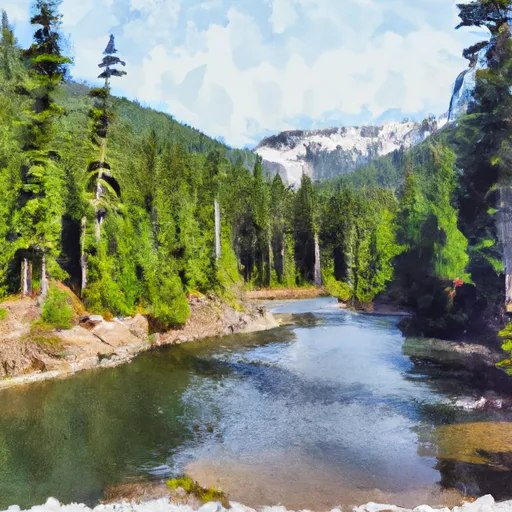 Lake Dorothy To Alpine Lakes Wilderness Boundary
-
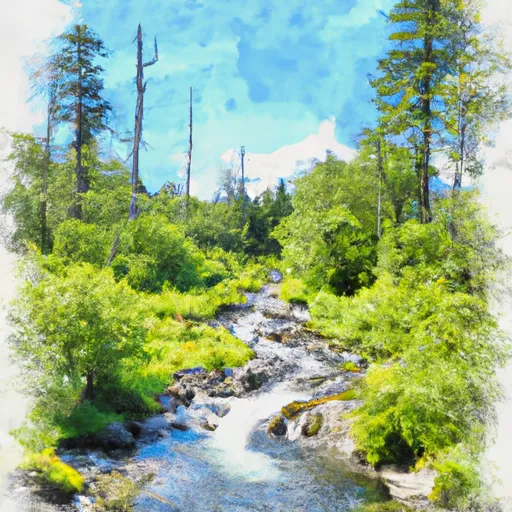 Headwaters In Se1/4 Of Sec 31, T24 1/2N, R11E To Alpine Lakes Wilderness Boundary
-
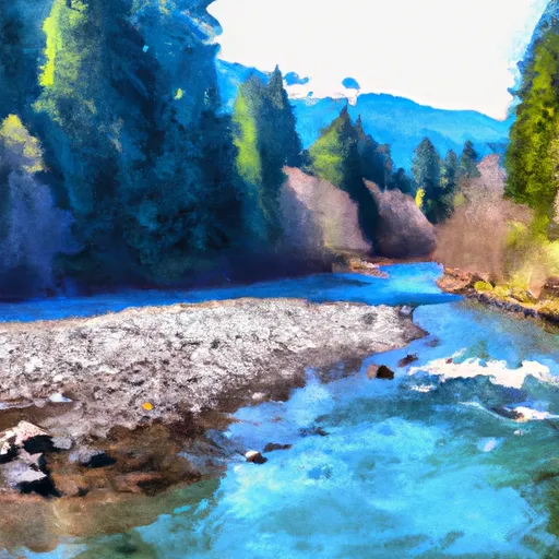 Outlet Of Snoqualmie Lake To Alpine Lakes Wilderness Boundary
-
 Outlet Of Delta Lake To Alpine Lakes Wilderness Boundary
-
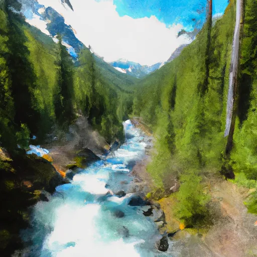 Alpine Lakes Wilderness Boundary To Confluence With East Fork Miller River
-
 Alpine Lakes Wilderness Boundary To Confluence With West Fork Miller River


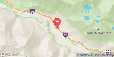
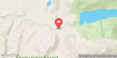
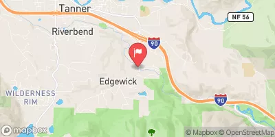
 Miller River Group Campground
 Miller River Campground
 Hardscrabble Horse Camp
 Middle Fork Backcountry Camping
 Skykomish Ballpark
 Money Creek Campground