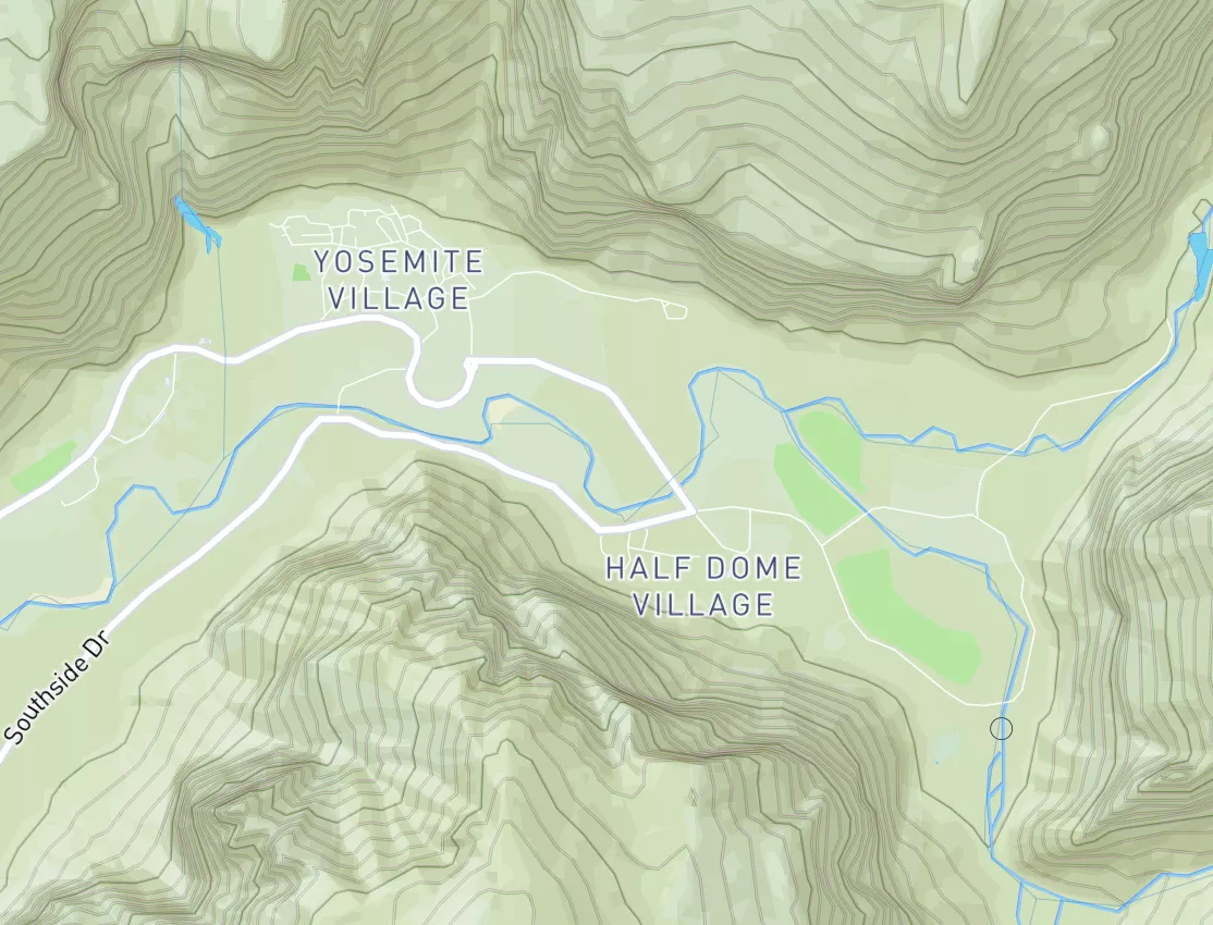
Mt. Baker-Snoqualmie Nf/Mt. Ranier Np Boundary At North Section Line Of Sec 3, T17 N, R10e To Confluence With Huckleberry Creek Paddle Report
Last Updated: 2026-05-09
°F
°F
mph
Wind
%
Humidity
Get the latest Paddle Report, Streamflow Levels, and Weather Forecast for Mt. Baker-Snoqualmie Nf/Mt. Ranier Np Boundary At North Section Line Of Sec 3, T17 N, R10e To Confluence With Huckleberry Creek in Washington. Washington Streamflow Levels and Weather Forecast
Summary
Regional Streamflow Levels
15-Day Long Term Forecast
River Run Details
| Last Updated | 2026-05-09 |
| River Levels | 98 cfs (3.02 ft) |
| Percent of Normal | 60% |
| Status | |
| Class Level | None |
| Elevation | ft |
| Streamflow Discharge | cfs |
| Gauge Height | ft |
| Reporting Streamgage | USGS 12097500 |
5-Day Hourly Forecast Detail
Area Campgrounds
River Runs
-
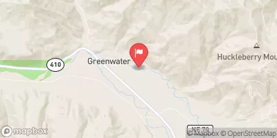
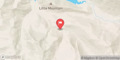
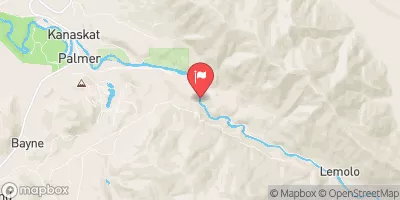
 Mt. Baker-Snoqualmie Nf/Mt. Ranier Np Boundary At North Section Line Of Sec 3, T17 N, R10E To Confluence With Huckleberry Creek
-
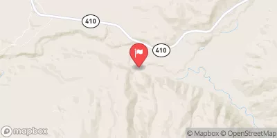
 Huckleberry Creek To Confluence With Clearwater River
-
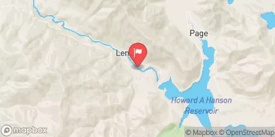
 Headwaters On The Nw Slope Of Mount Rainier At Carbon Glacier To Confluence With Ipsut Creek
-
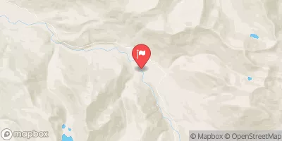
 Confluence With Ipsut Creek To Western Boundary Of Mount Rainier National Park
-
 Headwaters In The Mystic Lake Basin On The North Side Of Mount Rainier To Northern Boundary Of Mount Rainier National Park
-
 Headwaters At American Lake To Confluence With Ranier Fork


 The Dalles
 Huckleberry Creek Dispersed Camping
 Black Diamond Adventure Camps
 Ranger Creek Airstrip
 Greenwater Campground
 Lost Lake Backpacking Site
 Wilderness Clearwater
 Wilderness Norse Peak
 Conservation Land Fort Tilton Historical Marker
 Continue with Snoflo Premium