Summary
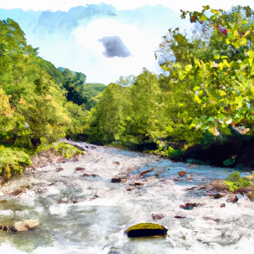
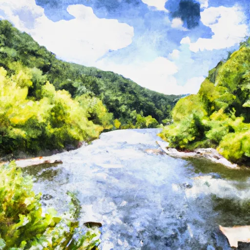
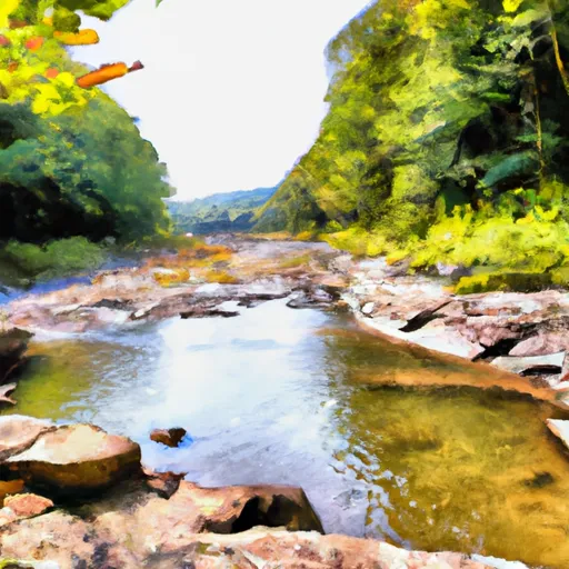
One of the most popular routes is the Waterfall Run to Dry Fork, which is rated as a class IV-V run with a segment mileage of 5.5 miles. The ideal streamflow range for this run is between 500-1500 cfs, which provides a challenging but manageable experience for experienced paddlers.
The Waterfall Run to Dry Fork features several notable rapids, including the Big Pillow, Super Slide, and Waterfall. These rapids offer technical challenges and exhilarating drops that require precise navigation and quick reactions. The Waterfall is the most significant obstacle on the run, with a 15-foot drop that requires expert-level skills to navigate safely.
In addition to the technical challenges, paddlers need to be aware of specific regulations in the area. The Whitewater River is managed by the Monongahela National Forest, and camping and fires are prohibited within 100 feet of the river. Paddlers are also required to have a permit to access the river, which is available at the nearby Seneca Rocks Discovery Center.
In conclusion, the Waterfall Run to Dry Fork is a challenging and rewarding kayaking and rafting experience in West Virginia. Paddlers should ensure that they are familiar with the ideal streamflow range, class rating, segment mileage, specific rapids, and regulations of the area before embarking on the run.
°F
°F
mph
Wind
%
Humidity
15-Day Weather Outlook
River Run Details
| Last Updated | 2026-02-07 |
| River Levels | 116 cfs (1.89 ft) |
| Percent of Normal | 12% |
| Status | |
| Class Level | iv-v |
| Elevation | ft |
| Streamflow Discharge | cfs |
| Gauge Height | ft |
| Reporting Streamgage | USGS 03065000 |
5-Day Hourly Forecast Detail
Nearby Streamflow Levels
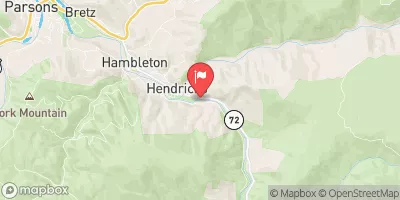 Dry Fork At Hendricks
|
1300cfs |
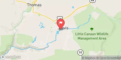 Blackwater R At Davis
|
489cfs |
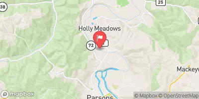 Cheat River Near Parsons
|
13400cfs |
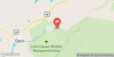 Blackwater R Nr Davis
|
132cfs |
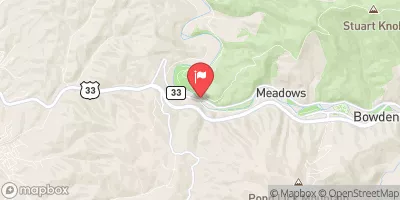 Shavers Fork Below Bowden
|
431cfs |
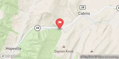 N F South Br Potomac R At Cabins
|
821cfs |
Area Campgrounds
| Location | Reservations | Toilets |
|---|---|---|
 Brian's place
|
||
 Blackwater Falls State Park
|
||
 Bear Heaven Campground
|
||
 Camp Site 6
|
||
 Camp Site 7
|
||
 Horseshoe Recreation and Campground Area
|


 Waterfall Run To Dry Fork
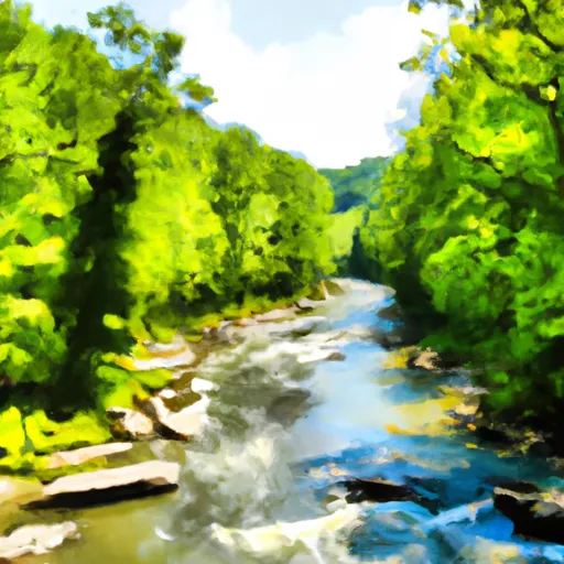 Laurel Fork River To Glady Fork River
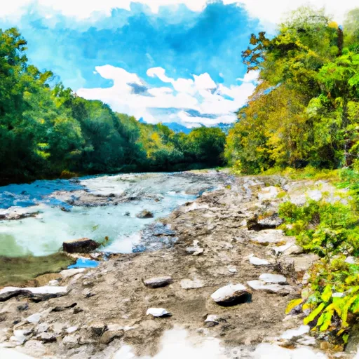 Private Land To Dry Fork
 Shears Hollow To Private Land
 Glady Fork River To Otter Creek
 Enter Otter Creek Wilderness To Exit Otter Creek Wilderness
 Canaan Valley State Park
 Blackwater Falls State Park
 Canaan Valley National Wildlife Refuge
 Wilderness Roaring Plains West
 Wilderness Dolly Sods