Summary
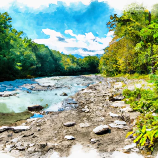
The ideal streamflow range for this section of the river is between 800-2,500 cfs, according to American Whitewater. This section of the river is rated as a Class III-IV, with some challenging rapids. The total mileage for this segment is approximately 9.5 miles and takes around 3-4 hours to complete.
There are several notable rapids and obstacles along this section of the river, including the Entrance Rapid, Pinball, and Decision Point. The Entrance Rapid is a Class IV rapid that requires precise maneuvering to avoid the large boulders and drops. Pinball is a Class III rapid that features a series of rocks that must be navigated quickly. Decision Point is a Class III-IV rapid that requires careful planning and execution to avoid the large boulders and drops.
There are specific regulations that need to be followed when navigating this section of the Whitewater River. The West Virginia Division of Natural Resources requires that all boaters possess a valid fishing license or permit. Additionally, there are restrictions on the use of motors and specific areas where boating is prohibited.
Overall, the Whitewater River Run from Private Land to Dry Fork is a challenging and exciting whitewater experience. With its ideal streamflow range, class rating, segment mileage, specific rapids/obstacles, and regulations, it is a must-visit destination for any experienced whitewater enthusiast.
°F
°F
mph
Wind
%
Humidity
15-Day Weather Outlook
River Run Details
| Last Updated | 2026-02-05 |
| River Levels | 38 cfs (4.16 ft) |
| Percent of Normal | 13% |
| Status | |
| Class Level | iii-iv |
| Elevation | ft |
| Streamflow Discharge | cfs |
| Gauge Height | ft |
| Reporting Streamgage | USGS 01606000 |
5-Day Hourly Forecast Detail
Nearby Streamflow Levels
 Dry Fork At Hendricks
|
1300cfs |
 Blackwater R At Davis
|
489cfs |
 Cheat River Near Parsons
|
13400cfs |
 Blackwater R Nr Davis
|
132cfs |
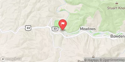 Shavers Fork Below Bowden
|
431cfs |
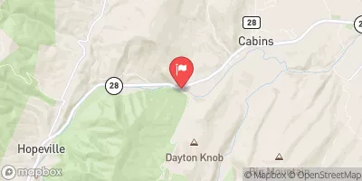 N F South Br Potomac R At Cabins
|
821cfs |
Area Campgrounds
| Location | Reservations | Toilets |
|---|---|---|
 Brian's place
|
||
 Bear Heaven Campground
|
||
 Blackwater Falls State Park
|


 Private Land To Dry Fork
 Shears Hollow To Private Land
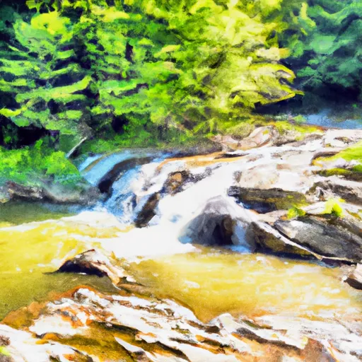 Waterfall Run To Dry Fork
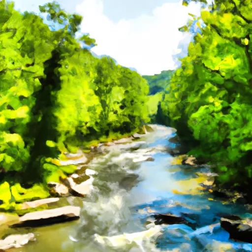 Laurel Fork River To Glady Fork River
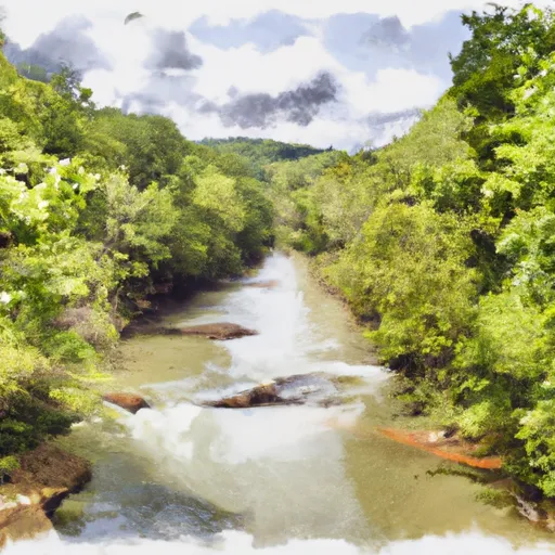 .5 North Of Us 33 To Shears Hollow
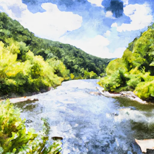 Glady Fork River To Otter Creek
 Canaan Valley State Park
 Canaan Valley National Wildlife Refuge
 Wilderness Roaring Plains West
 Blackwater Falls State Park
 Wilderness Dolly Sods