Summary
The ideal streamflow range for this run is between 500-1000 cfs. The segment mileage for this stretch of the river is approximately 7.5 miles, with a class rating of III-IV.
The river features several exciting rapids, including S-Turn, Double Z, and Upper and Lower Mash. The run requires paddlers to navigate challenging obstacles, including tight turns, steep drops, and large boulders.
In terms of regulations, visitors must obtain a permit to access the river, which can be obtained from the Gauley Ranger District. Paddlers are required to wear a personal flotation device at all times while on the river. Additionally, visitors are expected to follow Leave No Trace principles, including packing out all trash and minimizing their impact on the environment.
°F
°F
mph
Wind
%
Humidity
15-Day Weather Outlook
River Run Details
| Last Updated | 2026-01-26 |
| River Levels | 68 cfs (3.64 ft) |
| Percent of Normal | 43% |
| Status | |
| Class Level | None |
| Elevation | ft |
| Streamflow Discharge | cfs |
| Gauge Height | ft |
| Reporting Streamgage | USGS 03068800 |
5-Day Hourly Forecast Detail
Nearby Streamflow Levels
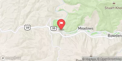 Shavers Fork Below Bowden
|
196cfs |
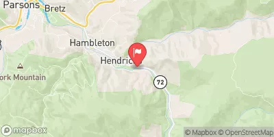 Dry Fork At Hendricks
|
859cfs |
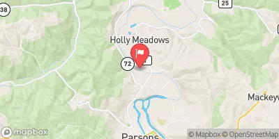 Cheat River Near Parsons
|
13400cfs |
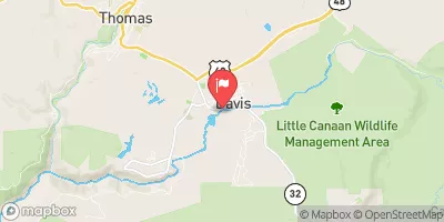 Blackwater R At Davis
|
313cfs |
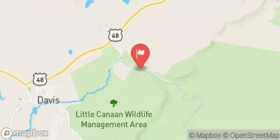 Blackwater R Nr Davis
|
132cfs |
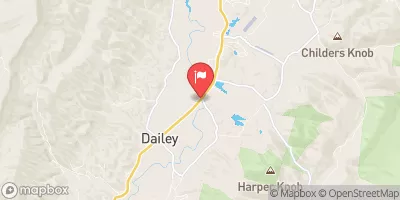 Tygart Valley River Near Dailey
|
1060cfs |
Area Campgrounds
| Location | Reservations | Toilets |
|---|---|---|
 Bear Heaven Campground
|
||
 Brian's place
|
||
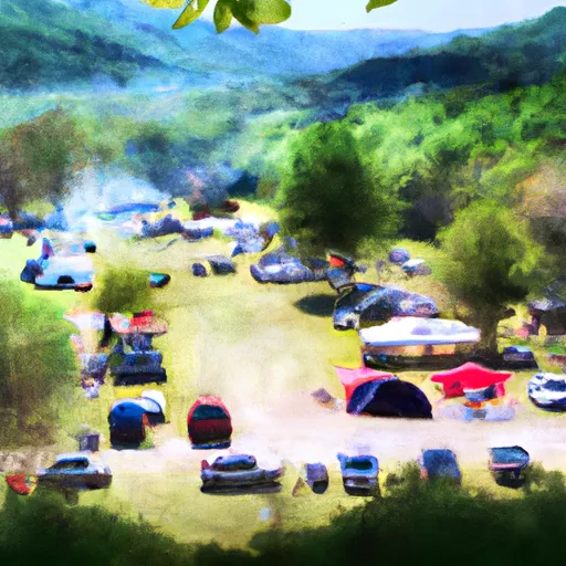 Stuart Day Use Area and Campground
|
||
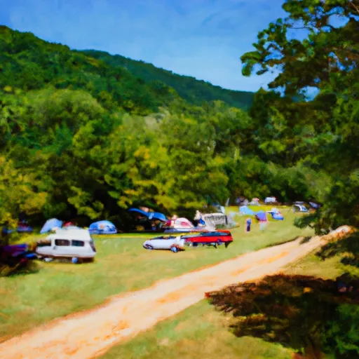 Stuart Campground
|
||
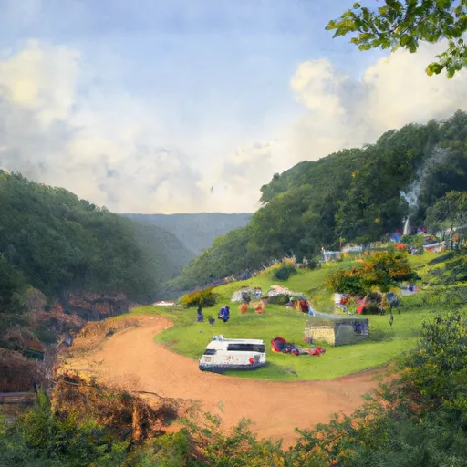 Casa Vitela
|
||
 Scenic Campground
|


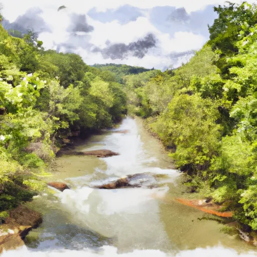 .5 North Of Us 33 To Shears Hollow
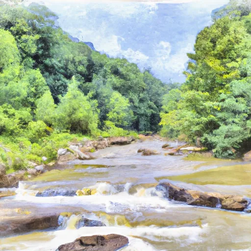 ,5 Mile Above Us 33 To Waterfall Run
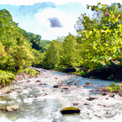 Shears Hollow To Private Land
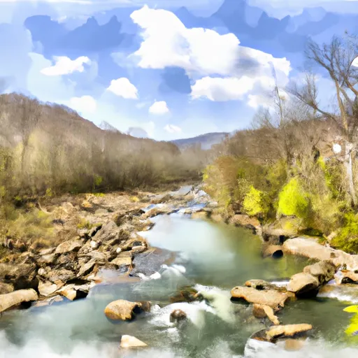 Frazier Creek To .5 Mile Above Us 33
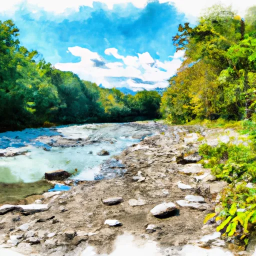 Private Land To Dry Fork
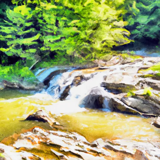 Waterfall Run To Dry Fork
 Wilderness Roaring Plains West
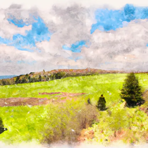 Canaan Valley State Park
 Canaan Valley National Wildlife Refuge
 Wilderness Dolly Sods