Summary
The ideal streamflow range for this section of the river is between 500-1500 cfs, although experienced kayakers may tackle it at higher levels.
The segment mileage for this run is approximately 8 miles, starting at the North Fork and ending at Hickory Lick Run. Along the way, kayakers will encounter several challenging rapids, including the popular Staircase rapid, which features a series of drops and boulder gardens. Other notable rapids include the Island rapid, Double Z, and the Class IV Railroad rapid.
To ensure the safety of kayakers and other visitors, the West Virginia Division of Natural Resources has established specific regulations for the area. These include requirements for personal flotation devices, as well as restrictions on alcohol and littering. Additionally, kayakers are advised to check local weather conditions and water levels before attempting this run.
Overall, the North Fork to Hickory Lick Run is a challenging and exciting whitewater experience for experienced kayakers. With proper preparation and adherence to safety regulations, kayakers can enjoy the thrill of navigating this beautiful stretch of the Whitewater River.
°F
°F
mph
Wind
%
Humidity
15-Day Weather Outlook
River Run Details
| Last Updated | 2026-02-07 |
| River Levels | 116 cfs (1.89 ft) |
| Percent of Normal | 12% |
| Status | |
| Class Level | iv |
| Elevation | ft |
| Streamflow Discharge | cfs |
| Gauge Height | ft |
| Reporting Streamgage | USGS 03065000 |
5-Day Hourly Forecast Detail
Nearby Streamflow Levels
 Dry Fork At Hendricks
|
1300cfs |
 Cheat River Near Parsons
|
13400cfs |
 Blackwater R At Davis
|
489cfs |
 Blackwater R Nr Davis
|
132cfs |
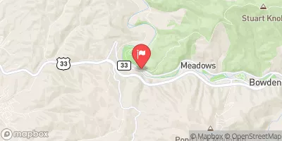 Shavers Fork Below Bowden
|
431cfs |
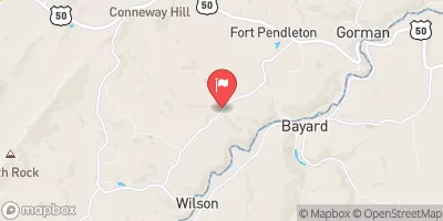 Mcmillan F Near Fort Pendleton
|
2cfs |
Area Campgrounds
| Location | Reservations | Toilets |
|---|---|---|
 Blackwater Falls State Park
|
||
 Horseshoe Recreation and Campground Area
|
||
 Brian's place
|
||
 Camp Site 6
|
||
 Camp Site 7
|
||
 Bear Heaven Campground
|


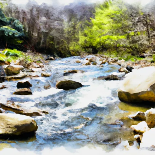 North Fork To Hickory Lick Run
 Otter Creek To Blackwater
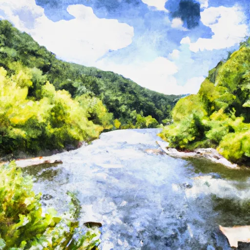 Glady Fork River To Otter Creek
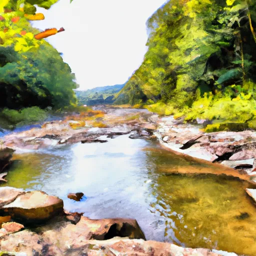 Enter Otter Creek Wilderness To Exit Otter Creek Wilderness
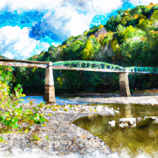 State Park Bridge To North Fork
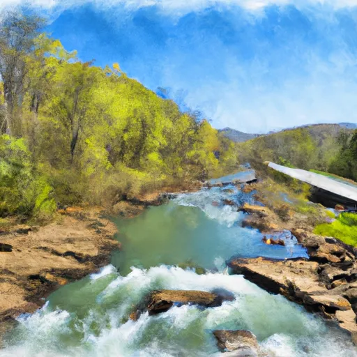 Route 33/8 To Jobs Run Near Porterwood
 Wilderness Otter Creek
 Canaan Valley State Park
 Canaan Valley National Wildlife Refuge