Summary
The ideal streamflow range for this section is between 500 and 2000 cubic feet per second (cfs), with the best times for rafting typically being in the spring and early summer.
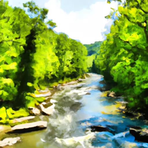
This section of the river is rated as a Class III-IV, which means it is suitable for intermediate to advanced paddlers. The segment mileage is approximately 7 miles long, starting at the bridge and ending at the North Fork.
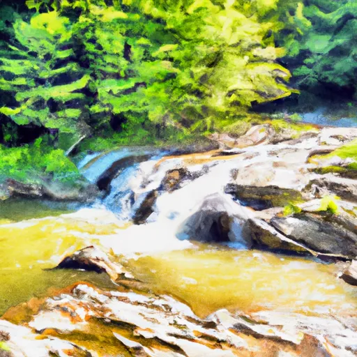
The section features a number of exciting rapids and obstacles, including the popular "Big Nasty" rapid which is a Class IV section. Other notable rapids include "Jump Start," "Ledges," and "Magic Falls."
Regulations for the area require all participants to wear a personal flotation device (PFD) and a helmet, and it is recommended that paddlers have previous whitewater experience before attempting this section. Additionally, there are restrictions on alcohol and littering in the park.
Overall, the Whitewater River Run State Park Bridge To North Fork offers a thrilling and challenging experience for whitewater enthusiasts, with a range of rapids and obstacles to navigate and regulations in place to ensure safety and preservation of the area.
°F
°F
mph
Wind
%
Humidity
15-Day Weather Outlook
River Run Details
| Last Updated | 2026-01-28 |
| River Levels | 40 cfs (1.58 ft) |
| Percent of Normal | 54% |
| Status | |
| Class Level | iii-iv |
| Elevation | ft |
| Streamflow Discharge | cfs |
| Gauge Height | ft |
| Reporting Streamgage | USGS 03066000 |
5-Day Hourly Forecast Detail
Nearby Streamflow Levels
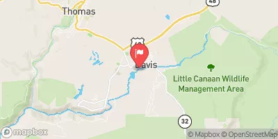 Blackwater R At Davis
|
489cfs |
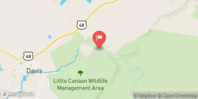 Blackwater R Nr Davis
|
132cfs |
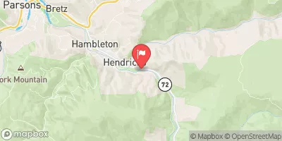 Dry Fork At Hendricks
|
1300cfs |
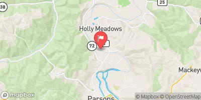 Cheat River Near Parsons
|
13400cfs |
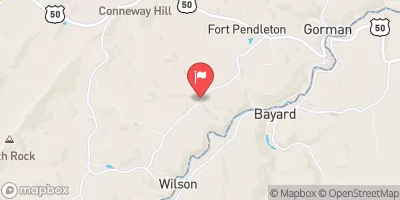 Mcmillan F Near Fort Pendleton
|
2cfs |
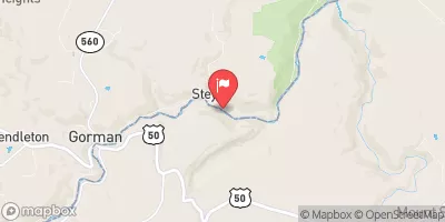 North Branch Potomac River At Steyer
|
336cfs |
Area Campgrounds
| Location | Reservations | Toilets |
|---|---|---|
 Blackwater Falls State Park
|
||
 Camp Site 6
|
||
 Camp Site 7
|
||
 Horseshoe Recreation and Campground Area
|
||
 Brian's place
|
||
 Red Creek Campground
|


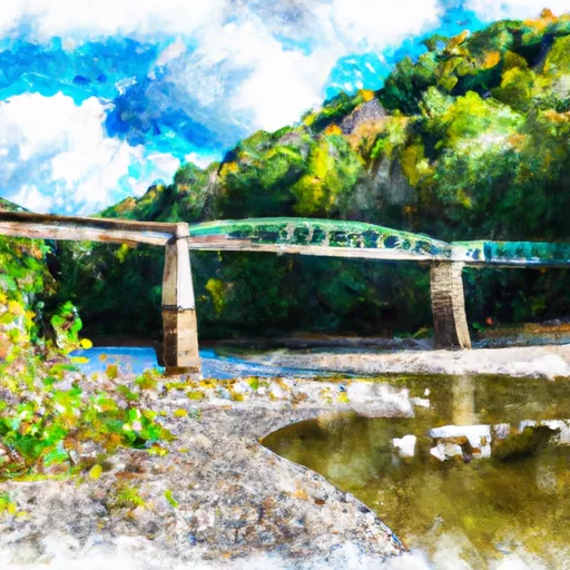 State Park Bridge To North Fork
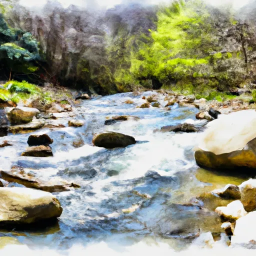 North Fork To Hickory Lick Run
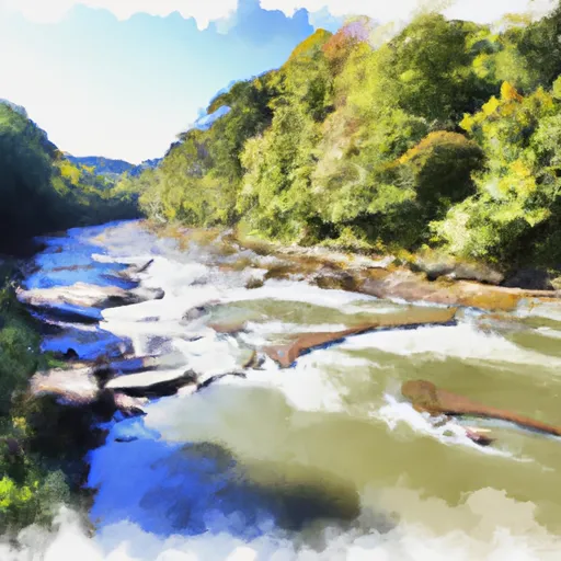 Otter Creek To Blackwater
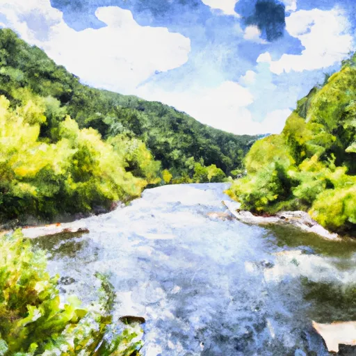 Glady Fork River To Otter Creek
 Laurel Fork River To Glady Fork River
 Waterfall Run To Dry Fork
 Canaan Valley State Park
 Canaan Valley National Wildlife Refuge
 Wilderness Otter Creek