2026-02-24T01:00:00-05:00
* WHAT...Heavy snow expected. Total snow accumulations between 5 and 12 inches with locally higher amounts expected. Winds gusting as high as 45 mph. * WHERE...Portions of central, northeast, northern, and southeast West Virginia. * WHEN...Until 1 AM EST Tuesday. * IMPACTS...Roads, and especially bridges and overpasses, will likely become slick and hazardous. Whiteout conditions are expected and will make travel treacherous and potentially life-threatening. Travel could be very difficult to impossible. The hazardous conditions could impact the Monday morning and evening commutes. Gusty winds could bring down tree branches.
Summary
The ideal streamflow range for this section is between 300-600 cfs. The class rating for Rabbit Run is Class III-IV, which means it has moderate to difficult rapids with high waves and irregular currents.
There are specific rapids and obstacles to take note of in this section of the Whitewater River. These include "Double Drop," "Meat Grinder," and "S-turn." Double Drop is a steep drop followed by a ledge drop, while Meat Grinder is a long boulder garden with multiple drops. S-turn is a tight turn with a fast current. It is important to note that Rabbit Run should only be attempted by experienced whitewater paddlers.
There are also regulations to be aware of in the area. The West Virginia Department of Natural Resources requires that all boaters have a personal flotation device (PFD) and a sound-producing device. Additionally, there are private landowners along this section of the river, so it is important to respect their property and stay off private land.
°F
°F
mph
Wind
%
Humidity
15-Day Weather Outlook
River Run Details
| Last Updated | 2026-01-25 |
| River Levels | 48 cfs (2.42 ft) |
| Percent of Normal | 58% |
| Status | |
| Class Level | iii-iv |
| Elevation | ft |
| Streamflow Discharge | cfs |
| Gauge Height | ft |
| Reporting Streamgage | USGS 03187500 |
5-Day Hourly Forecast Detail
Nearby Streamflow Levels
 Cranberry River Near Richwood
|
1690cfs |
 Gauley River Near Craigsville
|
10800cfs |
 Williams River At Dyer
|
2670cfs |
 Meadow River At Nallen
|
5510cfs |
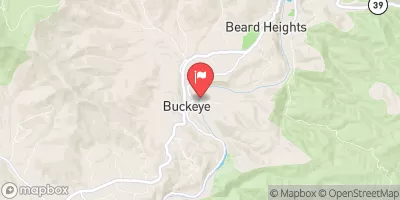 Greenbrier River At Buckeye
|
10500cfs |
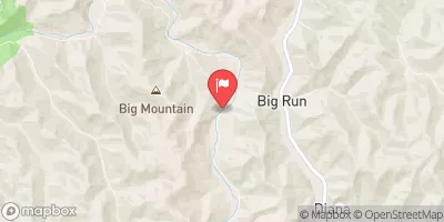 Elk River Below Webster Springs
|
5110cfs |
Area Campgrounds
| Location | Reservations | Toilets |
|---|---|---|
 Cranberry River Sites
|
||
 Bishop Knob
|
||
 Bishop Knob Campground
|
||
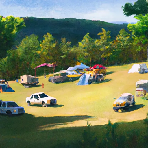 Cranberry Campground
|
||
 Cranberry
|
River Runs
-
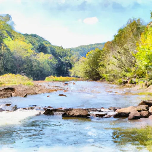 Rabbit Run To Private Land .5 Mile From Richwood
-
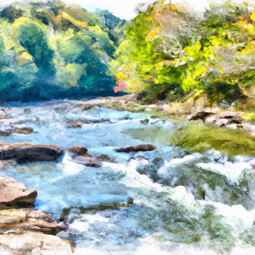 Darnell Run To Rabbit Run
-
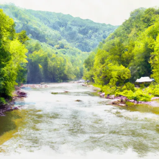 The U.S. Forest Service Cranberry Campground
To The Confluence With The Gauley River
-
 The Junction With Williams River
To The Junction With Panther Creek
-
 Three Forks To Spice Run
-
 The Headwaters
To The U.S. Forest Service Cranberry Campground

