Winter Weather Advisory
2026-02-17T17:00:00-07:00
2026-02-17T17:00:00-07:00
* WHAT...Snow expected. Total snow accumulations between 3 and 6 inches across much of the area, with higher amounts 8 to 12 inches over Pitchstone Plateau of southwest Yellowstone. Accumulations up to 2 inches around Mammoth. Winds gusting as high as 45 mph. * WHERE...Yellowstone National Park. * WHEN...Until 5 PM MST this afternoon. * IMPACTS...Backcountry travel will be difficult.
Begins 1/4 Mile Upstream From Northeast Entrance Road Bridge In The Area Of Tower Falls/ Roosevelt To Ends 1/4 Mile Downstream From Northeast Entrance Road Bridge In The Area Of Tower Falls/ Roosevelt Paddle Report
Last Updated: 2025-12-01
Get the latest Paddle Report, Streamflow Levels, and Weather Forecast for Begins 1/4 Mile Upstream From Northeast Entrance Road Bridge In The Area Of Tower Falls/ Roosevelt To Ends 1/4 Mile Downstream From Northeast Entrance Road Bridge In The Area Of Tower Falls/ Roosevelt in Wyoming. Wyoming Streamflow Levels and Weather Forecast
Summary
°F
°F
mph
Wind
%
Humidity
15-Day Weather Outlook
River Run Details
| Last Updated | 2025-12-01 |
| River Levels | 3440 cfs (4.64 ft) |
| Percent of Normal | 125% |
| Status | |
| Class Level | None |
| Elevation | ft |
| Run Length | 1.0 Mi |
| Streamflow Discharge | cfs |
| Gauge Height | ft |
| Reporting Streamgage | USGS 06188000 |
5-Day Hourly Forecast Detail
Nearby Streamflow Levels
Area Campgrounds
| Location | Reservations | Toilets |
|---|---|---|
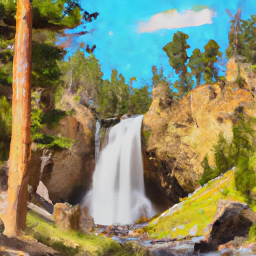 Tower Falls - Yellowstone National Park
|
||
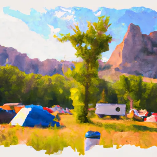 Tower Fall Campground
|
||
 2H6
2H6
|
||
 2H5
2H5
|
||
 Hellroaring Creek
|
||
 Agate Creek
|
River Runs
-
 Begins 1/4 Mile Upstream From Northeast Entrance Road Bridge In The Area Of Tower Falls/ Roosevelt To Ends 1/4 Mile Downstream From Northeast Entrance Road Bridge In The Area Of Tower Falls/ Roosevelt
-
 Begins 1/4 Mile Downstream From Northeast Entrance Road Bridge In The Area Of Tower Falls/ Roosevelt To Northern Park Boundary
-
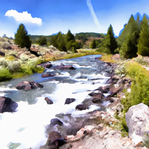 Begins Above Slough Creek Campground, Located On A Secondary Spur Road To The Park'S Main Road To The Confluence With Lamar River
-
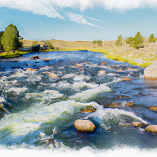 The Confluence With Soda Butte Creek To The Confluence With The Yellowstone River


