2026-02-17T17:00:00-07:00
* WHAT...Snow expected. Total snow accumulations between 6 and 12 inches. Winds gusting as high as 55 mph. * WHERE...Wind River Mountains West, Teton and Gros Ventre Mountains, and Salt River and Wyoming Ranges. * WHEN...Until 5 PM MST this afternoon. * IMPACTS...Travel could be difficult due to a combination of falling snow and gusty winds. The hazardous conditions could impact the Tuesday morning and evening commutes, especially for mountain passes like Teton, Togwotee, and South Passes. * ADDITIONAL DETAILS...Snow accumulations 4 to 8 inches for Teton and Togwotee Passes and 2 to 5 inches for South Pass. The highest elevations of the Wind River Range could see snow accumulations near 18 inches.
Summary
The ideal streamflow range for this stretch of river is between 1,000 and 5,000 cubic feet per second (cfs). At this flow rate, the rapids are class II-III, making this run suitable for intermediate paddlers. The segment mileage of this run is approximately 6 miles.
One of the most notable rapids on this stretch of river is called "The Narrows," which is a class III rapid with a steep drop and narrow chute. Other rapids on this run include "Tin Cup," "Sidewinder," and "Rock Garden." The river is also known for its beautiful canyon scenery and opportunities for wildlife viewing.
There are specific regulations to the area, including a permit system for overnight camping and a limit on the number of commercial outfitters allowed to operate on the river. It is also important to note that this stretch of river is located in remote wilderness, and visitors should take necessary precautions and follow Leave No Trace principles.
°F
°F
mph
Wind
%
Humidity
15-Day Weather Outlook
River Run Details
| Last Updated | 2025-12-01 |
| River Levels | 1770 cfs (3.37 ft) |
| Percent of Normal | 88% |
| Status | |
| Class Level | ii-iii |
| Elevation | ft |
| Streamflow Discharge | cfs |
| Gauge Height | ft |
| Reporting Streamgage | USGS 09188500 |
5-Day Hourly Forecast Detail
Nearby Streamflow Levels
 Green River At Warren Bridge
|
206cfs |
 Wind River Near Dubois
|
106cfs |
 Pine Creek Above Fremont Lake
|
8cfs |
 Wind River Above Red Creek
|
228cfs |
 Dinwoody Creek Above Lakes
|
120cfs |
 Cache Creek Near Jackson
|
12cfs |
Area Campgrounds
| Location | Reservations | Toilets |
|---|---|---|
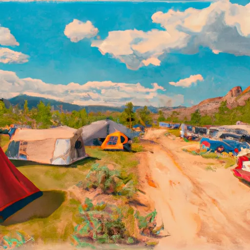 Whiskey Grove Campground
|
||
 Whiskey Grove
|
||
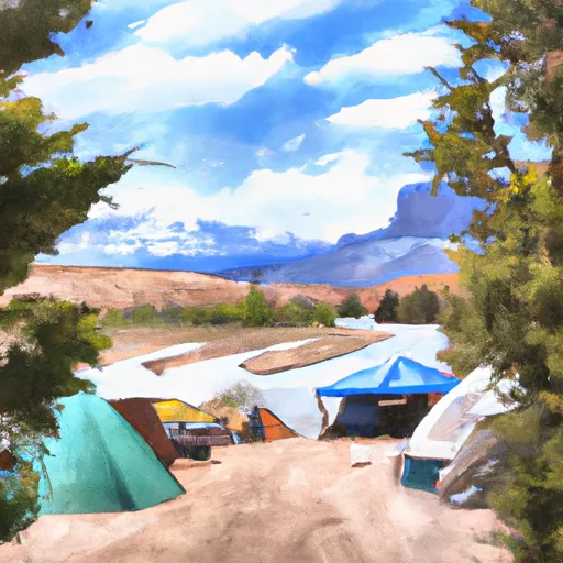 Green River Lake Group Campground
|
||
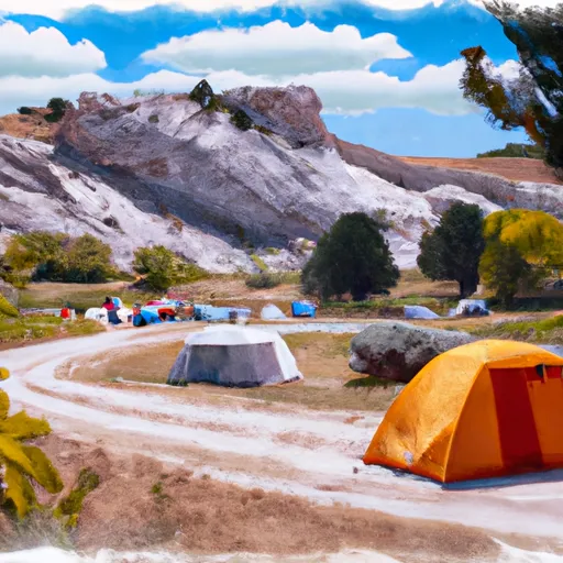 Green River Lake Campground
|
||
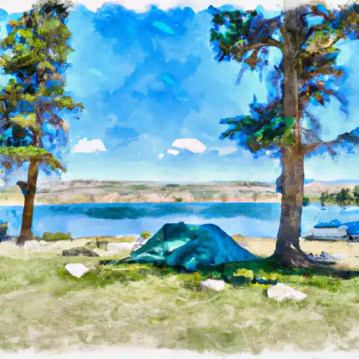 Green River Lake
|
||
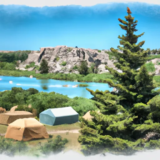 Green River Lake Lodge
|


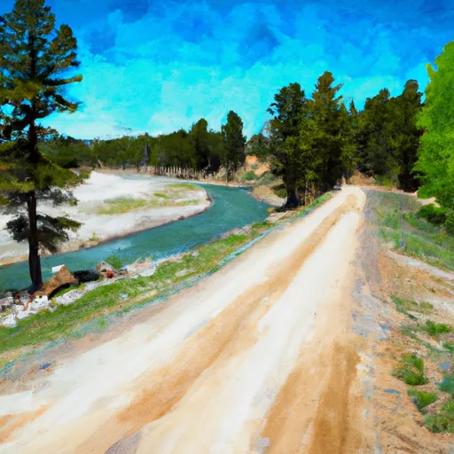 Forest Road To Confluence With Green River
 Source To End Of Forest Road
 Lower Green River Lake Outlet To Nf Boundary
 Source To Confluence With Green River
 Source, Green River Pass To Lower Green River Lake