2026-02-17T17:00:00-07:00
* WHAT...Snow expected. Total snow accumulations between 6 and 12 inches. Winds gusting as high as 55 mph. * WHERE...Wind River Mountains West, Teton and Gros Ventre Mountains, and Salt River and Wyoming Ranges. * WHEN...Until 5 PM MST this afternoon. * IMPACTS...Travel could be difficult due to a combination of falling snow and gusty winds. The hazardous conditions could impact the Tuesday morning and evening commutes, especially for mountain passes like Teton, Togwotee, and South Passes. * ADDITIONAL DETAILS...Snow accumulations 4 to 8 inches for Teton and Togwotee Passes and 2 to 5 inches for South Pass. The highest elevations of the Wind River Range could see snow accumulations near 18 inches.
Summary
It is rated as a Class III-IV run, with a segment mileage of approximately 12 miles. The river features several notable rapids and obstacles, such as the "Gauntlet," "Lunch Counter," and "Big Kahuna."
The "Gauntlet" is a series of rapids that require precise maneuvering and offer a thrilling ride. "Lunch Counter" is a large wave, and "Big Kahuna" is a steep drop that demands careful navigation. The run also features several boulder gardens and eddies that can pose challenges to kayakers and rafters.
Because the run is located within the Bridger-Teton National Forest, there are specific regulations that must be followed. For example, permits are required for commercial operations, and visitors must adhere to Leave No Trace principles. Additionally, the use of motorized watercraft is prohibited on the river.
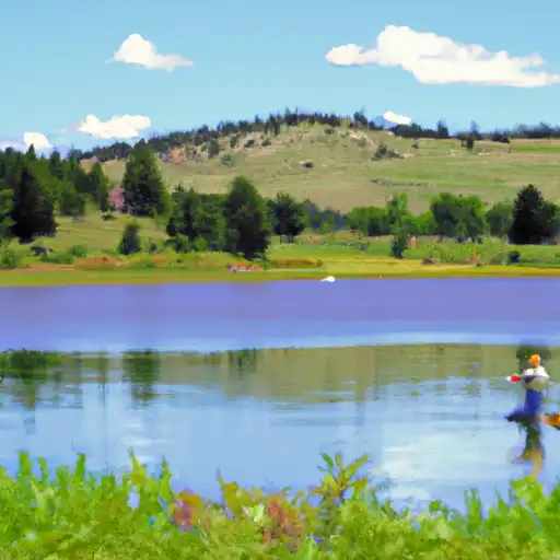
Overall, the Whitewater River Run is a popular destination for experienced kayakers and rafters seeking a challenging adventure in a beautiful natural setting. However, it is important to check streamflow levels and obtain necessary permits before embarking on a trip.
°F
°F
mph
Wind
%
Humidity
15-Day Weather Outlook
River Run Details
| Last Updated | 2026-02-07 |
| River Levels | 961 cfs (5.05 ft) |
| Percent of Normal | 59% |
| Status | |
| Class Level | iii-iv |
| Elevation | ft |
| Streamflow Discharge | cfs |
| Gauge Height | ft |
| Reporting Streamgage | USGS 09196500 |
5-Day Hourly Forecast Detail
Nearby Streamflow Levels
 Pine Creek Above Fremont Lake
|
8cfs |
 Green River At Warren Bridge
|
206cfs |
 Dinwoody Creek Above Lakes
|
120cfs |
 Bull Lake Creek Above Bull Lake
|
26cfs |
 New Fork River Near Big Piney
|
295cfs |
 Wind River Above Red Creek
|
228cfs |


 Trails End
 Soda Lake WHMA - East Boat Ramp - WGF
 Fremont Lake Campground and Group Campground
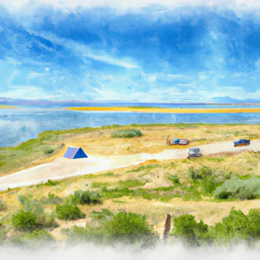 Soda Lake WHMA - West Boat Ramp - WGF
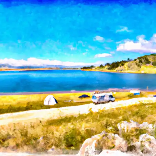 Fremont Lake
 Half Moon Lake
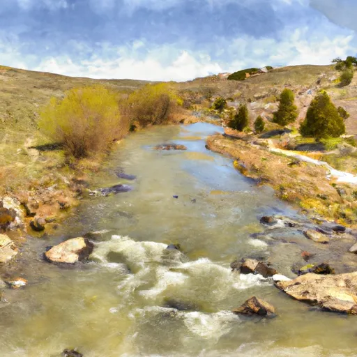 Source To Fremont Lake
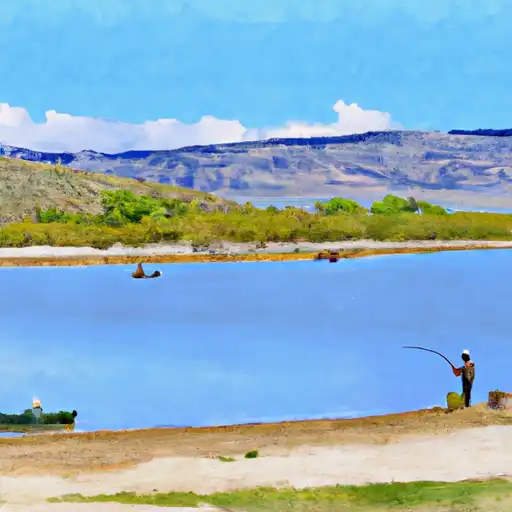 Soda Lake
 New Fork Lake
 Burnt Lake