Summary
The river features several obstacles, including boulders and rapids, making it best suited for intermediate and advanced paddlers. The best time of year to float this section of water is in the spring, when the water levels are high, with a recommended flow of 500-1000 cfs. Paddlers should use caution when navigating the river, as there are several sections with strong currents and potential hazards. Overall, the Yankee Jim Road to Ponderosa Way Shirttail River Run offers an exciting and challenging adventure for experienced paddlers.
River Run Details
| Last Updated | 2023-06-13 |
| River Levels | 1390 cfs (1.86 ft) |
| Percent of Normal | 200% |
| Optimal Range | 500-5000 cfs |
| Status | Too Low |
| Class Level | II to III |
| Elevation | 717 ft |
| Run Length | 5.0 Mi |
| Gradient | 21 FPM |
| Streamflow Discharge | 489 cfs |
| Gauge Height | 1.0 ft |
| Reporting Streamgage | USGS 11427000 |


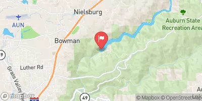

 Mineral Bar - Auburn State Rec Area
 Rucky A Chucky - Auburn State Rec Area
 Bear River County Park
 Georgetown Airport Campground
 Forbes Group Campground
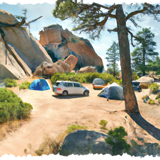 Giant Gap Campground
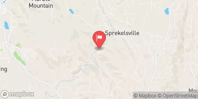
 Yankee Jim Road to Ponderosa Way (Shirttail)
 Chamberlain Falls (Iowa Hill to Yankee Jim)
 Greenwood to Mammoth Bar
 Tunnel Run (Ralston Powerhouse to Greenwood)
 Ashford Park
 Auburn Regional Park
 Auburn Recreation District 6
 Auburn Recreation District 4
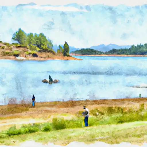 Lake Rollins
 Lake of the Pines
 Lake Clementine
 PG&E Rock Creek Lake Fishing Access