Wilderness Mark O. Hatfield
Community Reviews
Been here? Share the conditions.
Reviews, ratings & photos are added in the free Snoflo iOS app — rate a spot, tag the conditions, and your visit is verified by location. Add or manage your reviews from the app.

Wilderness Mark O. Hatfield
Reasons to Visit:
1. Scenic Beauty: Wilderness Mark O. Hatfield offers stunning natural beauty, characterized by rugged mountains, deep valleys, cascading waterfalls, and lush forests. The area boasts breathtaking vistas and picturesque landscapes that are a feast for the eyes.
2. Outdoor Recreation: Outdoor enthusiasts will find a variety of activities to indulge in. With over 65 miles of trails, visitors can enjoy hiking, backpacking, camping, and horseback riding. The wilderness also provides excellent opportunities for fishing, birdwatching, wildlife viewing, and photography.
3. Biodiversity: This wilderness area is home to diverse ecosystems, including old-growth forests, alpine meadows, and pristine waterways. It supports a wide array of flora and fauna, including rare and endangered species such as Northern spotted owls and Roosevelt elk. Nature enthusiasts will appreciate the chance to explore and discover this rich biodiversity.
Points of Interest:
1. Eagle Creek Trail: One of the most popular trails in the wilderness, Eagle Creek offers spectacular views of multiple waterfalls, including the iconic Punch Bowl Falls. This 13-mile trail is known for its dramatic cliffs, moss-covered canyons, and crystal-clear streams.
2. Mark O. Hatfield Wilderness Loop: This 41-mile loop trail provides an immersive wilderness experience, combining serene forests, alpine meadows, and stunning mountain vistas. It is recommended for experienced hikers and backpackers seeking a multi-day adventure.
3. Indian Point: Located near the Columbia River Gorge, Indian Point offers breathtaking panoramic views of the surrounding landscape. This prominent rock formation rewards hikers with a stunning viewpoint, making it a must-visit spot within the wilderness.
Interesting Facts:
1. Wilderness Designation: Wilderness Mark O. Hatfield was designated as a wilderness area by Congress in 1984 to protect its natural and cultural resources. It covers approximately 65,000 acres within the Mount Hood National Forest.
2. Land of the Multnomahs: The wilderness area is part of the traditional lands of the Multnomah people, a Native American tribe that historically inhabited the region. Respect for their cultural heritage is an integral part of the area's management.
3. Volcanic Origins: The unique geology of Wilderness Mark O. Hatfield can be attributed to the volcanic activity of Mount Hood, a nearby stratovolcano. The area showcases the effects of past volcanic eruptions, including lava flows and ancient glaciers.
Best Time to Visit:
The best time to visit Wilderness Mark O. Hatfield is typically during the summer and early fall months, from June to September. During this time, the weather is generally pleasant, with comfortable temperatures and minimal rainfall. However, it's important to check weather conditions and trail accessibility before planning your trip, as snow can linger in higher elevations well into summer.
It is always advisable to consult multiple independent sources, such as official park websites, visitor centers, and reputable travel guides, to ensure accuracy and obtain up-to-date information before visiting Wilderness Mark O. Hatfield.
Snowpack in Wilderness Mark O. Hatfield
Current snow depth at SNOTEL stations inside the park boundary.
Trails in Wilderness Mark O. Hatfield
Named trails whose route falls inside the park.
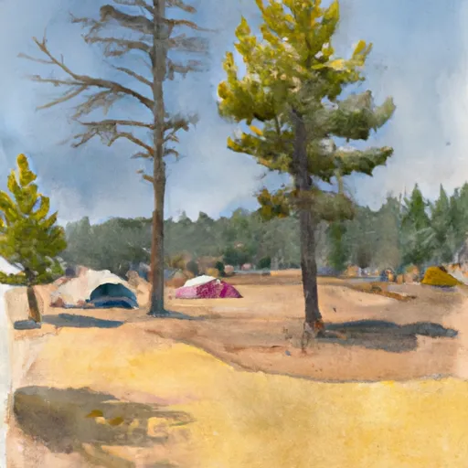
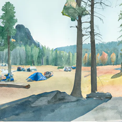
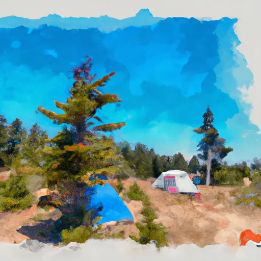
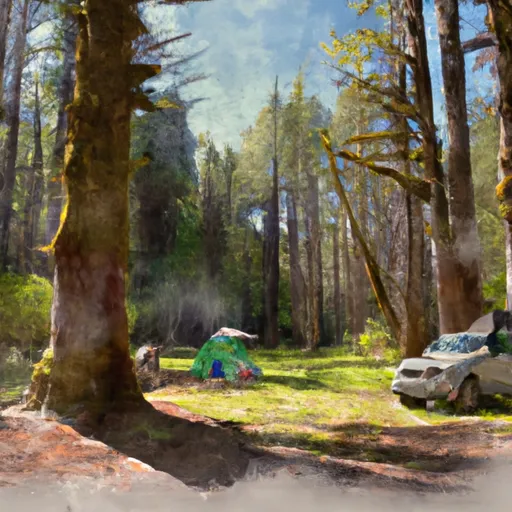
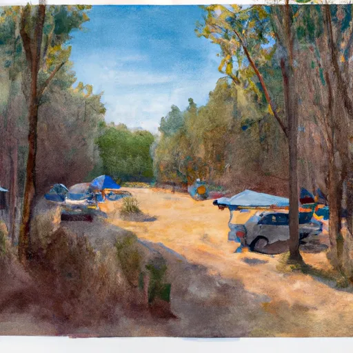
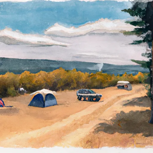
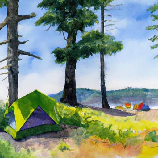
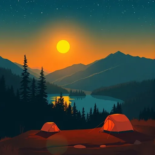
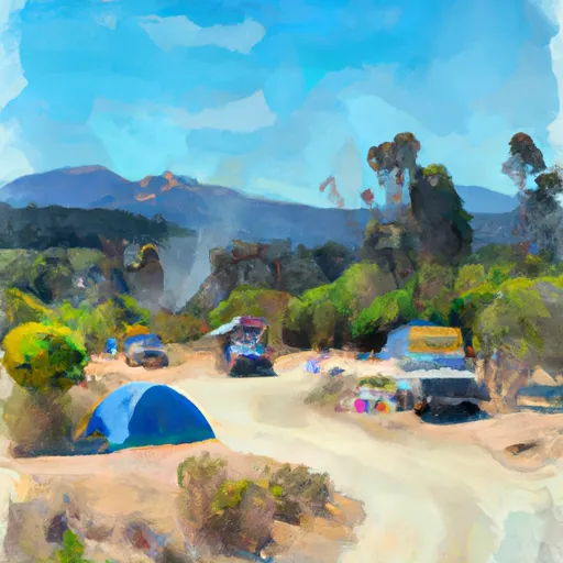
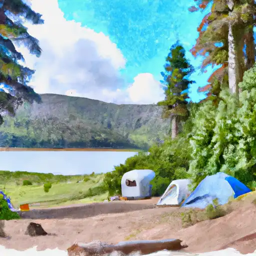
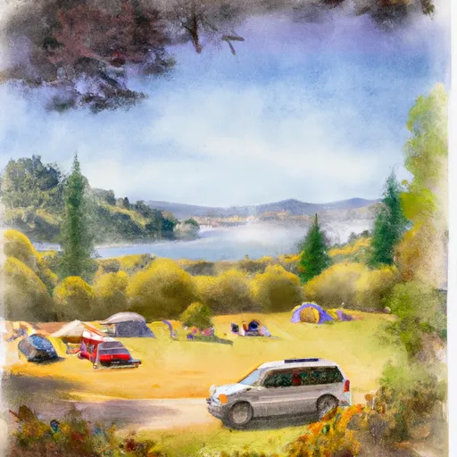
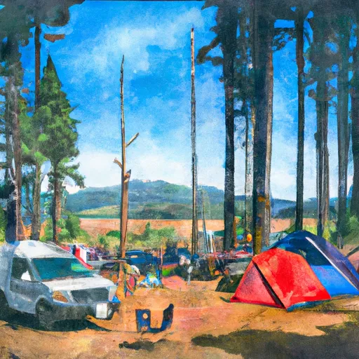
Camping in Wilderness Mark O. Hatfield
Campgrounds inside the park, with today's conditions score.


Points of interest in Wilderness Mark O. Hatfield
Landmarks and points of interest inside the park boundary.

Plan your visit down to the hour
Same weather feed Snoflo's iOS app uses -- updated continuously from NOAA / yr.no.
Next 5 days, hour by hour
Temperature line with weather symbols on top, snow + rain accumulation as columns, humidity as a dotted line.
5-day forecast table
Every 3 hours, broken out across temperature, snow, rain, humidity, and wind.
| Time | Condition | Temp (°F) | Snow (in) | Rain (in) | Humidity (%) | Wind (mps) | Wind dir |
|---|---|---|---|---|---|---|---|
| Loading detailed forecast… | |||||||
15-day temperature & precipitation
Daily temperatures, snow, and rain projected over the next two weeks.
Responsible recreation & Leave No Trace
- Know before you go
- Check the operator's site for hours, permit requirements, seasonal closures, and fire restrictions before heading out.
- Stay on trail
- Stick to marked paths to protect vegetation, prevent erosion, and avoid disturbing wildlife habitat.
- Respect wildlife
- Observe from a distance, never feed wildlife, and store food securely if camping is permitted on-site.
- Pack it in, pack it out
- Carry out all trash, food scraps, and gear. Many parks have limited or no trash service.
- Leave what you find
- Don't take rocks, plants, or artifacts. They make the park what it is for the next visitor.
Set push alerts in the Snoflo app
Save Wilderness Mark O. Hatfield as a favorite, set a custom threshold (precipitation, freezing temperatures, fire-restriction days), and the iOS app will push the moment conditions cross.
About Wilderness Mark O. Hatfield
What can I do at Wilderness Mark O. Hatfield?
Most Snoflo-tracked parks support hiking, picnicking, and wildlife viewing. Check the operator's site for activity-specific rules (camping, fishing, paddling, hunting).
How fresh is the weather data?
The hourly forecast updates throughout the day from NOAA / yr.no. Streamflow comes live from USGS streamgauges.
When is the best time to visit?
Use the 15-day temperature & precipitation outlook on this page to plan -- pick a window with comfortable temperatures and low precipitation.
How do I get to Wilderness Mark O. Hatfield?
Tap Directions in the hero above to open driving directions in Google Maps, or Open in map to center the Snoflo interactive map on the park.
Can I get alerts when conditions change?
Yes -- alerts are managed in the Snoflo iOS app. Favorite this park, set a threshold (temperature, precipitation), and you'll get a push the moment it crosses.
Park & land designation reference
A quick legend for the federal and state land categories Snoflo tracks. Each designation comes with different rules around access, recreation, and resource extraction.
- National Park
- Large protected natural areas managed by the federal government to preserve significant landscapes, ecosystems, and cultural resources; recreation is allowed but conservation is the priority.
- State Park
- Public natural or recreational areas managed by a state government, typically smaller than national parks and focused on regional natural features, recreation, and education.
- Local Park
- Community-level parks managed by cities or counties, emphasizing recreation, playgrounds, sports, and green space close to populated areas.
- Wilderness Area
- The highest level of land protection in the U.S.; designated areas where nature is left essentially untouched, with no roads, structures, or motorized motorized access permitted.
- National Recreation Area
- Areas set aside primarily for outdoor recreation (boating, hiking, fishing, often around reservoirs, rivers, or scenic landscapes); may allow more development.
- National Conservation Area (BLM)
- BLM-managed areas with special ecological, cultural, or scientific value; more protection than typical BLM land but less strict than Wilderness Areas.
- State Forest
- State-managed forests focused on habitat, watershed, recreation, and sustainable timber harvest.
- Bureau of Land Management (BLM) Land
- Vast federal lands managed for mixed use -- recreation, grazing, mining, conservation -- with fewer restrictions than national parks or forests.