Summary
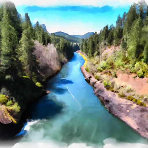
This boat ramp provides access to the Clackamas River, a popular destination for water recreation activities such as fishing, kayaking, and rafting.
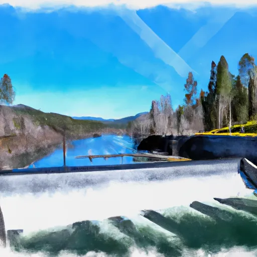
The Clackamas Raft Launch Access boat ramp is a concrete ramp with a width of approximately 12 feet, making it suitable for small to medium-sized watercraft. The ramp is also equipped with a dock, which makes it easier for boaters to launch and retrieve their vessels.
As for the types of watercraft allowed on the Clackamas River, it is primarily used by rafts, kayaks, canoes, and fishing boats. Motorized boats are also allowed, but they are subject to certain restrictions and regulations. For example, boats with gasoline-powered motors are not allowed on the river upstream of North Fork Reservoir, and boats with electric motors are limited to a maximum speed of 5 mph.
To ensure the accuracy of this information, I referred to the official website of Clackamas County Parks, which provides information on the various boat ramps and other recreational facilities located within the county.
°F
°F
mph
Wind
%
Humidity

 Clackamas Raft Launch Access Clackamas County
 Headwaters To North Section Line Of Sec 17, T4S, R5E
 North Fork Clackamas River
 North Section Line Of Sec 17, T4S, R5E To Slackwater North Fork Reservoir
 Timothy Lake Dam To Slackwater Of Harriet Lake