Summary
It is specifically located at coordinates 45.16482925 North latitude and -122.12262726 West longitude, according to the latest data available.
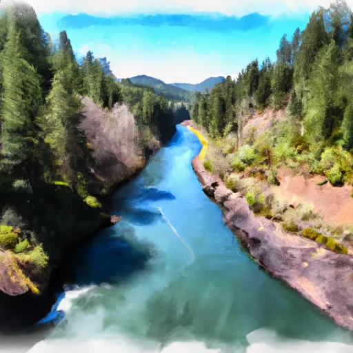
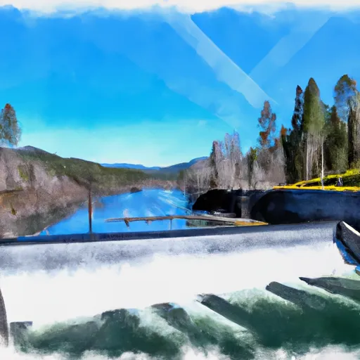
This boat ramp is about 16 feet wide and has a gradual slope, making it an ideal location for launching small to medium-sized watercraft. The ramp connects directly to the Clackamas River, a beautiful waterway that is known for its excellent opportunities for fishing, white-water rafting, and kayaking.
The Clackamas Highway boat ramp provides easy access to the river and is open to various types of watercraft, including kayaks, canoes, rafts, drift boats, and motorized boats. The river is known for its calm, slow-moving stretches, making it a great location for recreational boating and paddling.
In terms of the latest information regarding this boat ramp, it is always best to consult with local authorities or check official websites for any updates on any regulations regarding its use. It is also important to ensure that boats and equipment have been properly maintained and inspected before launching to ensure safety on the water.
°F
°F
mph
Wind
%
Humidity

 Clackamas Highway Clackamas County
 North Fork Clackamas River
 Headwaters To North Section Line Of Sec 17, T4S, R5E
 North Section Line Of Sec 17, T4S, R5E To Slackwater North Fork Reservoir
 Timothy Lake Dam To Slackwater Of Harriet Lake
 Welches Run