 Get More With Premium


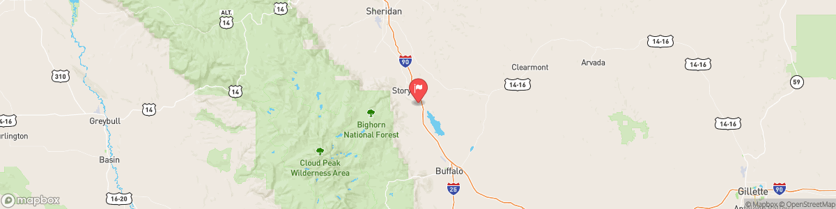
PINEY CREEK AT KEARNY
USGS 06323000
RED FLAG WARNING
* IMPACTS: Low Humidities...Unseasonably Warm Temperatures... Strong Gusty Winds...and Wind Shift with a Cold Front could cause erratic fire behavior. * AFFECTED AREA: In North Central WY...Fire Weather Zone 281. * COUNTIES AFFECTED: In North Central WY...Johnson. * COLD FRONT: Moves in after 6 PM MDT Friday, with northwesterly 20 to 30 mph winds and gusts up to 40 mph. * WIND: Southwest 30 to 40 mph with gusts up to 55 mph. * HUMIDITY: ...

Today, Isolated showers, then scattered showers and thunderstorms after noon. Some of the storms could produce small hail and gusty winds. Mostly cloudy, with a high near 75. Breezy, with a north northwest wind 11 to 15 mph, with gusts as high as 21 mph. Chance of precipitation is 50%.
Tomorrow, Isolated showers, then scattered showers and thunderstorms after noon. Some of the storms could produce small hail and gusty winds. Mostly cloudy, with a high near 75. Breezy, with a north northwest wind 11 to 15 mph, with gusts as high as 21 mph. Chance of precipitation is 50%.
5-Day Forecast
Long Term Forecast
16-Day Forecast