Carrot Basin Snow Report
Carrot Basin at a glance
How the snowpack at Carrot Basin looks right now, where the station sits on the map, and its key details.
Carrot Basin reports 0.0″ of new snowfall today, raising snowpack levels to 11 inches. Snowpack depth is 65% of normal, which is below normal for this time of year. The mountain is perched in Montana at an elevation of 9,000ft, where the air temperature is about 40°F right now.
Seasonal average snowpack on this calendar day is 17 inches across the station's full record. Below-normal snowpack like this typically translates to a thinner spring runoff downstream and earlier snowmelt -- worth watching for downstream water-supply forecasts.
Over the next 5 days, the snowpack at Carrot Basin is expected to build from today's 2.8 inches of snow-water equivalent, toward roughly 3.2 inches by 2026-11-15 -- below normal for the date.
For real-time and historical context, see the realtime view or the historical comparison. Browse other stations in the Montana snow report.
How does this compare to past years?
Year-over-year percentile bands, every recorded powder day, and the deepest snowpack on record each water year at this station.
Weather Forecast
Next 5 days, hour by hour
Temperature line with weather symbols on top, snow + rain accumulation as columns, humidity as a dotted line.
5-day forecast table
Every 3 hours, broken out across temperature, snow, rain, humidity, and wind.
| Time | Condition | Temp (°F) | Snow (in) | Rain (in) | Humidity (%) | Wind (mps) | Wind dir |
|---|---|---|---|---|---|---|---|
| Loading detailed forecast… | |||||||
15-day temperature & snow
Daily temperatures, snow, and rain projected over the next two weeks.
Carrot Basin
Carrot Basin, located in the Sawtooth Mountain Range in Montana, boasts an elevation range of 8,000 to 12,000 feet. This region receives an average annual snowfall of 250 inches, accumulating an average peak snowpack of 100 inches. Popular ski resorts nearby include Big Sky and Bridger Bowl. Climate trends suggest a warming trend, potentially decreasing snowpack in the future. The snowpack in Carrot Basin plays a vital role in the hydrology of the area, as it feeds into the Gallatin River, a major tributary of the Missouri River. Additionally, several creeks and reservoirs in the area rely on the snowpack for water supply. The hydrology constituents of Carrot Basin are closely monitored by local agencies to ensure proper management and conservation of this valuable resource.
1. Hiking: Carrot Basin offers numerous hiking trails with varying difficulty levels, providing opportunities for hikers of all skill levels to explore the stunning landscapes and wildlife of the area. One popular hiking trail near Carrot Basin is the Carrot Basin Loop Trail, which offers panoramic views of the surrounding mountains and meadows. 2. Fishing: The Carrot Basin area is home to several pristine alpine lakes and streams that are ideal for fishing. Anglers can try their luck at catching trout, salmon, and other freshwater fish in the crystal-clear waters of Carrot Basin. One popular fishing spot near Carrot Basin is Hidden Lake, which is known for its abundant fish population and scenic views. 3. Camping: Carrot Basin is a popular destination for camping enthusiasts, with several campgrounds and backcountry camping opportunities available. Campers can enjoy the peaceful surroundings of the basin, listening to the sounds of nature and stargazing at night. One popular camping spot near Carrot Basin is the Carrot Basin Campground, which offers basic amenities and easy access to hiking trails. 4. Mountain Biking: The rugged terrain and scenic views of Carrot Basin make it a great destination for mountain biking enthusiasts. There are several mountain biking trails in the area that cater to different skill levels, allowing riders to explore the basin's diverse landscapes. One popular mountain biking trail near Carrot Basin is the Carrot Basin Mountain Bike Trail, which offers challenging climbs and exhilarating descents through pine forests and meadows. 5. Wildlife Viewing: Carrot Basin is home to a variety of wildlife species, including elk, deer, bears, and birds. Wildlife enthusiasts can enjoy observing these animals in their natural habitats while exploring the basin's trails and meadows. One popular wildlife viewing spot near Carrot Basin is the Carrot Basin Wildlife Viewing Area, which offers opportunities to see a diverse array of wildlife species in a picturesque setting.
Nearby snowpack depths
Cross-check whether Carrot Basin's snowpack is a one-off accumulation or a regional storm cycle.
| Station | Snowpack |
|---|---|
| Carrot Basin | 11 in |
| Carrot Basin | 11 in |
| Beaver Creek | 2 in |
| Nohrsc Beaver Creek | 2 in |
| Nohrsc Lone Mountain | 2 in |
| Lone Mountain | 2 in |
Recreation near Carrot Basin
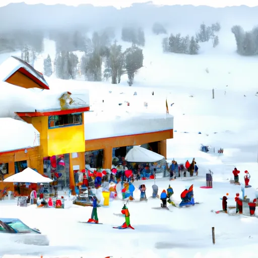
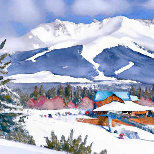
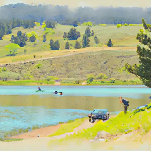
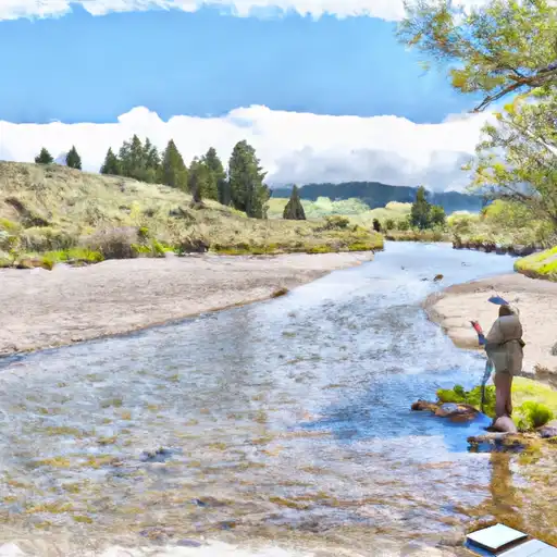
Ski areas, reservoirs, paddle runs, campgrounds, and fishing access within driving distance.


Reservoirs
See all →




Mountain & avalanche safety
- Know before you go
- Check today's avalanche bulletin from the regional avalanche center before any backcountry / side-country travel. Conditions can shift dramatically between morning and afternoon on storm days.
- Carry the gear, know how to use it
- Beacon, shovel, probe. Practice companion rescue on a calm day, not during a real burial.
- Mind the weather window
- Heavy snow + wind builds wind slabs at ridgelines. The day after a storm is often the riskiest in the backcountry.
- Read the snowpack
- A weak, faceted, or wind-loaded snowpack — like the depth and trend shown above — is exactly what feeds slab avalanches. Dig a pit or check the bulletin before committing to steep terrain.
Track Carrot Basin in the Snoflo app
Save this station as a favorite, set push alerts when snowfall crosses a threshold (e.g. "alert me when Carrot Basin reports 6″ new"), and Snoflo's iOS app will push the moment the SNOTEL station crosses.
About Carrot Basin
Where does the snow data for Carrot Basin come from?
Snowpack depth, SWE, snowfall, and air temperature come from the NRCS SNOTEL station 385. Forecast comes from the NOAA / yr.no feed Snoflo's iOS app uses.
How often is the report updated?
NRCS SNOTEL stations report continuously (typically hourly). Snoflo refreshes throughout the day; check the "as of" timestamp on the snowpack hero card.
What's the difference between snowpack depth and SWE?
Snowpack depth measures how tall the snow is. SWE (snow water equivalent) measures how much WATER is in that snow. SWE matters more for hydrology and ski-season prediction since dry powder packs less water than wet/spring snow at the same depth.
How is "% of normal" calculated?
Today's snowpack is compared to the historical average snowpack on this calendar day across the station's full record. 100% = right on average; 130% = a big year; 60% = a thin year.
Can I get alerts when fresh snow hits?
Yes -- snow alerts are managed in the Snoflo iOS app. Favorite this station, set a snowfall threshold (e.g. "alert me when 6+ inches"), and you'll get a push the moment NRCS reports the crossing.
Create a free account, or sign in.
Get the free Carrot Basin report — alerts, favorites, and history & forecasts, plus the free iPhone app.