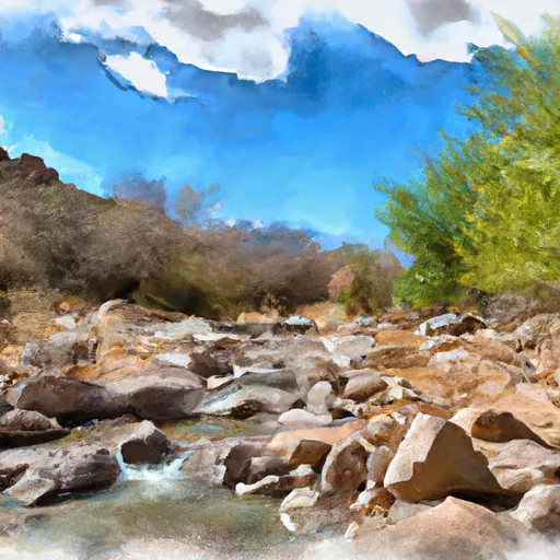
The Lake Dam

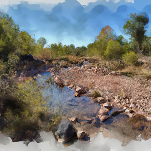
The Lake
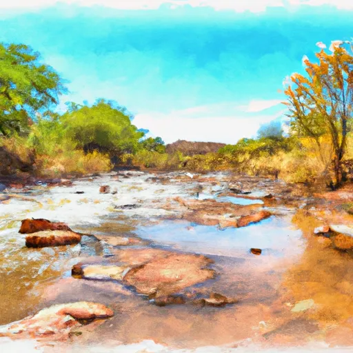
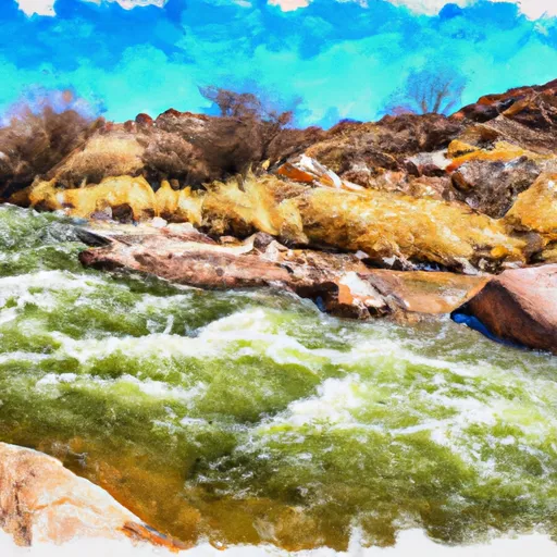
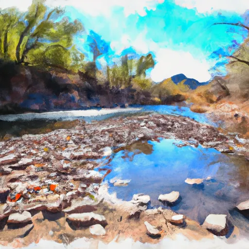
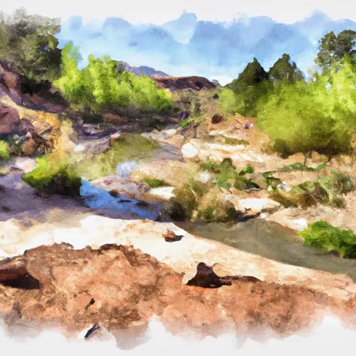
The Lake, also known as Fagan Lake, is a private water resource located in Pima County, Arizona. Managed by the Arizona Department of Water Resources, this earth dam stands at a height of 30.8 feet and spans 370 feet in length, providing essential functions such as fire protection, stock watering, and supporting small fish populations. With a storage capacity of 34.9 acre-feet and a surface area of 3.4 acres, The Lake serves as a crucial resource for the surrounding area.
Despite its low hazard potential, The Lake is subject to state regulation, inspection, and enforcement to ensure its structural integrity and safety. The dam's uncontrolled spillway, with a width of 41 feet, helps manage excess water flow during periods of high discharge. While the condition of the dam is currently not rated, its risk assessment is moderate, highlighting the need for ongoing monitoring and risk management measures. Positioned along an unnamed stream leading to Davidson Canyon, The Lake plays a vital role in water resource management in the region.
For water resource and climate enthusiasts, The Lake represents a prime example of a privately owned earth dam that supports various essential purposes for the community, from wildlife habitat creation to water storage for emergency situations. As a regulated structure under the jurisdiction of the Arizona Department of Water Resources, The Lake stands as a testament to the importance of maintaining and managing water resources in a sustainable and responsible manner. With its moderate risk assessment and low hazard potential, The Lake serves as a focal point for ongoing monitoring and risk management efforts to ensure the safety and efficiency of this vital water infrastructure.
Plan around the weather
Same NOAA / yr.no feed Snoflo's iOS app uses. Watch the precipitation column on the meteogram -- rain on the basin upstream typically lifts inflow 24-72 hours later.
Next 5 days, hour by hour
Temperature line with weather symbols on top, snow + rain accumulation as columns, humidity as a dotted line.
5-day forecast table
Every 3 hours, broken out across temperature, snow, rain, humidity, and wind. Each cell is colour-coded relative to the column min/max.
| Time | Condition | Temp (°F) | Snow (in) | Rain (in) | Humidity (%) | Wind (mps) | Wind dir |
|---|---|---|---|---|---|---|---|
| Loading detailed forecast… | |||||||
15-day temperature & precipitation
Daily temperatures, snow, and rain projected over the next two weeks.
Nearby streamflow gauges
USGS streamgauges around The Lake -- inflows here typically show up in storage 24-72 hours later.
| Streamgauge | Discharge | View |
|---|---|---|
| Cienga Creek Near Sonoita | 0 cfs | → |
| Pantano Wash Near Vail | 3 cfs | → |
| Rincon Creek Near Tucson | · | → |
| Santa Cruz River At Continental | · | → |
| Pantano Wash At Broadway Blvd. At Tucson | · | → |
| Santa Cruz Nr Amado | 0 cfs | → |


About The Lake
Where does the data for The Lake come from?
Structural and regulatory data come from the U.S. Army Corps of Engineers' National Inventory of Dams (NID). Weather forecast comes from NOAA / yr.no -- the same feed Snoflo's iOS app uses.
How often is the report updated?
NID structural data refreshes annually as the Corps publishes updated assessments. The weather forecast refreshes throughout the day.
What does the Low hazard rating mean?
The Corps of Engineers' hazard potential classification grades probable consequences if the dam fails: High = probable loss of human life; Significant = no probable loss of human life but possible economic loss / environmental damage; Low = no probable loss of human life, only minor economic / environmental losses. See the Dam Data Reference card below for the full definitions.
What's "% of normal"?
The current storage value compared to the historical average storage on this calendar day. 100% = right on average; values above 100% mean above-normal storage (wet year); values below mean below-normal (dry year or drought).
Can I get alerts when storage crosses a threshold?
Yes -- alerts are managed in the Snoflo iOS app. Favorite this dam, set a threshold, and you'll get a push the moment conditions cross.
Dam data reference
Condition Assessment
- Satisfactory
- No existing or potential dam safety deficiencies are recognized. Acceptable performance is expected under all loading conditions (static, hydrologic, seismic) in accordance with the minimum applicable state or federal regulatory criteria or tolerable risk guidelines.
- Fair
- No existing dam safety deficiencies are recognized for normal operating conditions. Rare or extreme hydrologic and/or seismic events may result in a dam safety deficiency. Risk may be in the range to take further action.
- Poor
- A dam safety deficiency is recognized for normal operating conditions which may realistically occur. Remedial action is necessary. POOR may also be used when uncertainties exist as to critical analysis parameters which identify a potential dam safety deficiency.
- Unsatisfactory
- A dam safety deficiency is recognized that requires immediate or emergency remedial action for problem resolution.
- Not Rated
- The dam has not been inspected, is not under state or federal jurisdiction, or has been inspected but, for whatever reason, has not been rated.
Hazard Potential Classification
- High
- Dams assigned the high hazard potential classification are those where failure or mis-operation will probably cause loss of human life.
- Significant
- Dams assigned the significant hazard potential classification are those dams where failure or mis-operation results in no probable loss of human life but can cause economic loss, environmental damage, disruption of lifeline facilities, or impact other concerns. Significant hazard potential classification dams are often located in predominantly rural or agricultural areas but could be in areas with population and significant infrastructure.
- Low
- Dams assigned the low hazard potential classification are those where failure or mis-operation results in no probable loss of human life and low economic and/or environmental losses. Losses are principally limited to the owner's property.
- Undetermined
- Dams for which a downstream hazard potential has not been designated or is not provided.