Brushlake Dam

Brushlake Dam
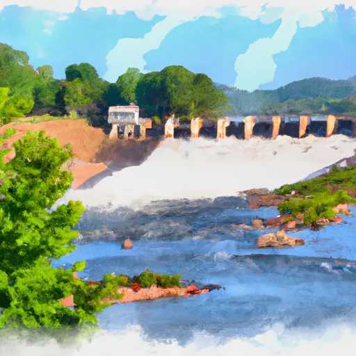
Brushlake Dam, located in Faulkner, Arkansas, is a privately-owned earth dam constructed in 1965 for purposes of recreation and other activities. Standing at a height of 20 feet with a hydraulic height of 16 feet, the dam boasts a storage capacity of 80 acre-feet and a maximum discharge rate of 552 cubic feet per second. Despite its low hazard potential and current "Not Rated" condition assessment, the dam has not been inspected recently, with no established inspection frequency.
Managed by the Vicksburg District of the US Army Corps of Engineers, Brushlake Dam serves as a vital structure along Bridge Creek-OS. With a primary purpose of "Other," the dam plays a crucial role in both water resource management and recreational activities in the region. Although lacking detailed information on spillways, lock systems, and drainage areas, the dam remains a significant site for water enthusiasts and climate advocates alike.
While lacking recent inspection data and a formal Emergency Action Plan, Brushlake Dam presents an intriguing case study for water resource and climate enthusiasts. Boasting a rich history dating back to the mid-20th century, the dam continues to play a crucial role in the local ecosystem while offering opportunities for recreation and leisure. As discussions around dam safety and climate resilience gain momentum, Brushlake Dam stands as a reminder of the delicate balance between human development and environmental stewardship in the face of changing climatic conditions.
Plan around the weather
Same NOAA / yr.no feed Snoflo's iOS app uses. Watch the precipitation column on the meteogram -- rain on the basin upstream typically lifts inflow 24-72 hours later.
Next 5 days, hour by hour
Temperature line with weather symbols on top, snow + rain accumulation as columns, humidity as a dotted line.
5-day forecast table
Every 3 hours, broken out across temperature, snow, rain, humidity, and wind. Each cell is colour-coded relative to the column min/max.
| Time | Condition | Temp (°F) | Snow (in) | Rain (in) | Humidity (%) | Wind (mps) | Wind dir |
|---|---|---|---|---|---|---|---|
| Loading detailed forecast… | |||||||
15-day temperature & precipitation
Daily temperatures, snow, and rain projected over the next two weeks.
Nearby streamflow gauges
USGS streamgauges around Brushlake Dam -- inflows here typically show up in storage 24-72 hours later.
| Streamgauge | Discharge | View |
|---|---|---|
| Maumelle River At Maumelle Dam At Natural Steps | · | → |
| Rock Creek At 36th Street At Little Rock | 1 cfs | → |
| Cadron Creek Near Guy | 14 cfs | → |
| Lake Maumelle At State Hwy 10 Near Wye | 293 cfs | → |
| Bayou Meto Near Lonoke | 0 cfs | → |
| Maumelle River At Williams Junction | 0 cfs | → |
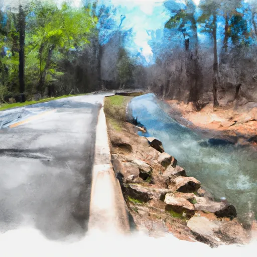
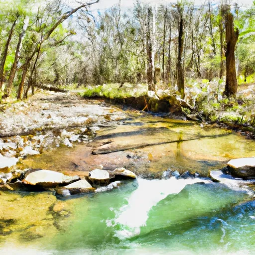
Make a day of it
Boat launches, lakeside camping, fishing access, and other reservoirs near Brushlake Dam.
Boat launches
See all →


Campgrounds
See all →


Fishing spots
See all →


River runs
See all →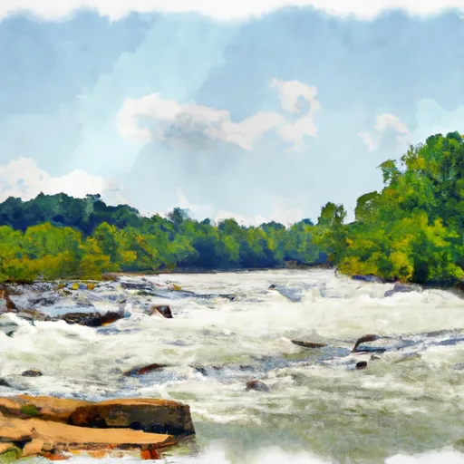


About Brushlake Dam
Where does the data for Brushlake Dam come from?
Structural and regulatory data come from the U.S. Army Corps of Engineers' National Inventory of Dams (NID). Weather forecast comes from NOAA / yr.no -- the same feed Snoflo's iOS app uses.
How often is the report updated?
NID structural data refreshes annually as the Corps publishes updated assessments. The weather forecast refreshes throughout the day.
What does the Low hazard rating mean?
The Corps of Engineers' hazard potential classification grades probable consequences if the dam fails: High = probable loss of human life; Significant = no probable loss of human life but possible economic loss / environmental damage; Low = no probable loss of human life, only minor economic / environmental losses. See the Dam Data Reference card below for the full definitions.
What's "% of normal"?
The current storage value compared to the historical average storage on this calendar day. 100% = right on average; values above 100% mean above-normal storage (wet year); values below mean below-normal (dry year or drought).
Can I get alerts when storage crosses a threshold?
Yes -- alerts are managed in the Snoflo iOS app. Favorite this dam, set a threshold, and you'll get a push the moment conditions cross.
Dam data reference
Condition Assessment
- Satisfactory
- No existing or potential dam safety deficiencies are recognized. Acceptable performance is expected under all loading conditions (static, hydrologic, seismic) in accordance with the minimum applicable state or federal regulatory criteria or tolerable risk guidelines.
- Fair
- No existing dam safety deficiencies are recognized for normal operating conditions. Rare or extreme hydrologic and/or seismic events may result in a dam safety deficiency. Risk may be in the range to take further action.
- Poor
- A dam safety deficiency is recognized for normal operating conditions which may realistically occur. Remedial action is necessary. POOR may also be used when uncertainties exist as to critical analysis parameters which identify a potential dam safety deficiency.
- Unsatisfactory
- A dam safety deficiency is recognized that requires immediate or emergency remedial action for problem resolution.
- Not Rated
- The dam has not been inspected, is not under state or federal jurisdiction, or has been inspected but, for whatever reason, has not been rated.
Hazard Potential Classification
- High
- Dams assigned the high hazard potential classification are those where failure or mis-operation will probably cause loss of human life.
- Significant
- Dams assigned the significant hazard potential classification are those dams where failure or mis-operation results in no probable loss of human life but can cause economic loss, environmental damage, disruption of lifeline facilities, or impact other concerns. Significant hazard potential classification dams are often located in predominantly rural or agricultural areas but could be in areas with population and significant infrastructure.
- Low
- Dams assigned the low hazard potential classification are those where failure or mis-operation results in no probable loss of human life and low economic and/or environmental losses. Losses are principally limited to the owner's property.
- Undetermined
- Dams for which a downstream hazard potential has not been designated or is not provided.