Comanche Reservoir Report
Nearby: Hourglass Twin Lakes Reservoir
Last Updated: February 11, 2026
Comanche, located in Larimer, Colorado, is a local government-owned dam with a primary purpose of irrigation.
Summary
Completed in 1966, this earth dam stands at a height of 46 feet and has a maximum storage capacity of 3,240 acre-feet. Serving the Beaver Creek, Comanche plays a vital role in water supply and management in the region, with a normal storage capacity of 2,629 acre-feet and a drainage area of 11 square miles.
With a high hazard potential and a satisfactory condition assessment as of July 2020, Comanche is regulated and inspected by the Colorado Department of Water Resources. The dam features an uncontrolled spillway with a width of 150 feet and a maximum discharge capacity of 15,179 cubic feet per second. Despite its moderate risk assessment rating, Comanche has not had a detailed risk management plan or inundation maps prepared as of the latest data update in March 2021. In the event of an emergency, the dam's emergency action plan status and adherence to guidelines remain unspecified. For water resource and climate enthusiasts, Comanche presents an intriguing case study in dam infrastructure and risk management within the Colorado landscape.
°F
°F
mph
Wind
%
Humidity
15-Day Weather Outlook
Year Completed |
1966 |
Dam Length |
1430 |
Dam Height |
46 |
River Or Stream |
BEAVER CREEK |
Primary Dam Type |
Earth |
Surface Area |
112 |
Hydraulic Height |
40 |
Drainage Area |
11 |
Nid Storage |
3240 |
Structural Height |
44 |
Hazard Potential |
High |
Nid Height |
46 |
Seasonal Comparison
5-Day Hourly Forecast Detail
Nearby Streamflow Levels
Dam Data Reference
Condition Assessment
SatisfactoryNo existing or potential dam safety deficiencies are recognized. Acceptable performance is expected under all loading conditions (static, hydrologic, seismic) in accordance with the minimum applicable state or federal regulatory criteria or tolerable risk guidelines.
Fair
No existing dam safety deficiencies are recognized for normal operating conditions. Rare or extreme hydrologic and/or seismic events may result in a dam safety deficiency. Risk may be in the range to take further action. Note: Rare or extreme event is defined by the regulatory agency based on their minimum
Poor A dam safety deficiency is recognized for normal operating conditions which may realistically occur. Remedial action is necessary. POOR may also be used when uncertainties exist as to critical analysis parameters which identify a potential dam safety deficiency. Investigations and studies are necessary.
Unsatisfactory
A dam safety deficiency is recognized that requires immediate or emergency remedial action for problem resolution.
Not Rated
The dam has not been inspected, is not under state or federal jurisdiction, or has been inspected but, for whatever reason, has not been rated.
Not Available
Dams for which the condition assessment is restricted to approved government users.
Hazard Potential Classification
HighDams assigned the high hazard potential classification are those where failure or mis-operation will probably cause loss of human life.
Significant
Dams assigned the significant hazard potential classification are those dams where failure or mis-operation results in no probable loss of human life but can cause economic loss, environment damage, disruption of lifeline facilities, or impact other concerns. Significant hazard potential classification dams are often located in predominantly rural or agricultural areas but could be in areas with population and significant infrastructure.
Low
Dams assigned the low hazard potential classification are those where failure or mis-operation results in no probable loss of human life and low economic and/or environmental losses. Losses are principally limited to the owner's property.
Undetermined
Dams for which a downstream hazard potential has not been designated or is not provided.
Not Available
Dams for which the downstream hazard potential is restricted to approved government users.
Area Campgrounds
| Location | Reservations | Toilets |
|---|---|---|
 4 dispersed campsites
|
||
 9
9
|
||
 8
8
|
||
 7
7
|
||
 7 (Willow)
|
||
 6
6
|

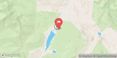
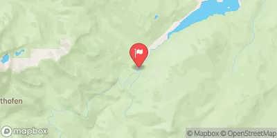
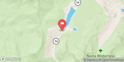
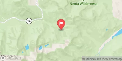
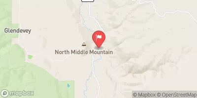
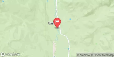
 Comanche
 Headwaters To Boundary Of Rocky Mountain National Park
 Big South
 Rustic (Upper)
 Spencer Heights
 Headwaters To Fan Lake
 Comanche Lake
 Browns Lake
 Mirror Lake - RMNP
 Crystal Lake - RMNP
 Lawn Lake - RMNP