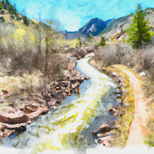
Floodwater Ret. B-2 Dam

Floodwater Ret. B-2
Floodwater Retention B-2, located in Larimer County, Colorado, is a privately owned earth dam designed by the USDA NRCS to primarily reduce flood risk along Boxelder Creek. Completed in 1982, this dam stands at a height of 66 feet and has a storage capacity of 12,005 acre-feet, with a normal storage capacity of 6,470 acre-feet. With a surface area of 457 acres and a drainage area of 111 square miles, Floodwater Retention B-2 plays a crucial role in mitigating the impact of potential flooding events in the region.
This high-hazard potential dam has a satisfactory condition assessment as of October 2019 and undergoes inspection every three years to ensure its structural integrity and functionality. Though it lacks a spillway, Floodwater Retention B-2 is equipped with emergency action plans and meets regulatory guidelines to manage potential risks effectively. With its strategic location and design, this dam serves as a vital infrastructure for flood risk reduction in Wellington, Colorado, and highlights the importance of water resource management in the face of changing climate dynamics.
As climate change continues to influence weather patterns and increase the frequency of extreme precipitation events, the role of dams like Floodwater Retention B-2 becomes even more significant in safeguarding communities and ecosystems from the impacts of flooding. With its substantial storage capacity and effective risk management measures, this earth dam stands as a testament to the collaborative efforts of government agencies and private stakeholders in ensuring water resource resilience in the face of a changing climate.
Plan around the weather
Same NOAA / yr.no feed Snoflo's iOS app uses. Watch the precipitation column on the meteogram -- rain on the basin upstream typically lifts inflow 24-72 hours later.
Next 5 days, hour by hour
Temperature line with weather symbols on top, snow + rain accumulation as columns, humidity as a dotted line.
5-day forecast table
Every 3 hours, broken out across temperature, snow, rain, humidity, and wind. Each cell is colour-coded relative to the column min/max.
| Time | Condition | Temp (°F) | Snow (in) | Rain (in) | Humidity (%) | Wind (mps) | Wind dir |
|---|---|---|---|---|---|---|---|
| Loading detailed forecast… | |||||||
15-day temperature & precipitation
Daily temperatures, snow, and rain projected over the next two weeks.
Nearby streamflow gauges
USGS streamgauges around Floodwater Ret. B-2 -- inflows here typically show up in storage 24-72 hours later.
| Streamgauge | Discharge | View |
|---|---|---|
| North Fork Cache La Poudre R. At Livermore | 0 cfs | → |
| Cache La Poudre R A Mo Of Cn | 298 cfs | → |
| N Frk Cache La Poudre R Blw Halligan Res Nr V Dal | 47 cfs | → |
| Cache La Poudre River At Fort Collins | 75 cfs | → |
| Cache La Poudre R Ab Boxelder C | 80 cfs | → |
| Crow Creek At 19th Street | 3 cfs | → |


About Floodwater Ret. B-2
Where does the data for Floodwater Ret. B-2 come from?
Structural and regulatory data come from the U.S. Army Corps of Engineers' National Inventory of Dams (NID). Weather forecast comes from NOAA / yr.no -- the same feed Snoflo's iOS app uses.
How often is the report updated?
NID structural data refreshes annually as the Corps publishes updated assessments. The weather forecast refreshes throughout the day.
What does the High hazard rating mean?
The Corps of Engineers' hazard potential classification grades probable consequences if the dam fails: High = probable loss of human life; Significant = no probable loss of human life but possible economic loss / environmental damage; Low = no probable loss of human life, only minor economic / environmental losses. See the Dam Data Reference card below for the full definitions.
What's "% of normal"?
The current storage value compared to the historical average storage on this calendar day. 100% = right on average; values above 100% mean above-normal storage (wet year); values below mean below-normal (dry year or drought).
Can I get alerts when storage crosses a threshold?
Yes -- alerts are managed in the Snoflo iOS app. Favorite this dam, set a threshold, and you'll get a push the moment conditions cross.
Dam data reference
Condition Assessment
- Satisfactory
- No existing or potential dam safety deficiencies are recognized. Acceptable performance is expected under all loading conditions (static, hydrologic, seismic) in accordance with the minimum applicable state or federal regulatory criteria or tolerable risk guidelines.
- Fair
- No existing dam safety deficiencies are recognized for normal operating conditions. Rare or extreme hydrologic and/or seismic events may result in a dam safety deficiency. Risk may be in the range to take further action.
- Poor
- A dam safety deficiency is recognized for normal operating conditions which may realistically occur. Remedial action is necessary. POOR may also be used when uncertainties exist as to critical analysis parameters which identify a potential dam safety deficiency.
- Unsatisfactory
- A dam safety deficiency is recognized that requires immediate or emergency remedial action for problem resolution.
- Not Rated
- The dam has not been inspected, is not under state or federal jurisdiction, or has been inspected but, for whatever reason, has not been rated.
Hazard Potential Classification
- High
- Dams assigned the high hazard potential classification are those where failure or mis-operation will probably cause loss of human life.
- Significant
- Dams assigned the significant hazard potential classification are those dams where failure or mis-operation results in no probable loss of human life but can cause economic loss, environmental damage, disruption of lifeline facilities, or impact other concerns. Significant hazard potential classification dams are often located in predominantly rural or agricultural areas but could be in areas with population and significant infrastructure.
- Low
- Dams assigned the low hazard potential classification are those where failure or mis-operation results in no probable loss of human life and low economic and/or environmental losses. Losses are principally limited to the owner's property.
- Undetermined
- Dams for which a downstream hazard potential has not been designated or is not provided.