Shadow Mountain Reservoir Report
Nearby: Shadow Mountain Dike Granby
Last Updated: February 22, 2026
Shadow Mountain, also known as the North Fork Diversion Dam, is a federal-owned structure located in Grand County, Colorado.
Summary
This irrigation dam was completed in 1945 by the Bureau of Reclamation and serves the primary purpose of providing water for irrigation in the area. It is situated on the Colorado River and has a high hazard potential due to its 63-foot structural height and 37-foot hydraulic height.
With a storage capacity of 18,369 acre-feet and a surface area of 1,852 acres, Shadow Mountain plays a crucial role in managing water resources in the region. The dam features a controlled spillway with a width of 40 feet and is inspected regularly by the Bureau of Reclamation to ensure its safety and proper functioning. Despite its high hazard potential, the dam's risk assessment is categorized as very high, highlighting the importance of ongoing risk management measures to protect nearby communities and infrastructure from potential flooding events. For water resource and climate enthusiasts, Shadow Mountain represents both the challenges and opportunities associated with managing water infrastructure in a changing climate.
°F
°F
mph
Wind
%
Humidity
15-Day Weather Outlook
Year Completed |
1945 |
Dam Length |
3077 |
Dam Height |
63 |
River Or Stream |
COLORADO RIVER |
Primary Dam Type |
Earth |
Surface Area |
1852 |
Hydraulic Height |
37 |
Drainage Area |
187 |
Nid Storage |
18369 |
Structural Height |
63 |
Outlet Gates |
Slide (sluice gate) - 1 |
Hazard Potential |
High |
Foundations |
Rock, Soil |
Nid Height |
63 |
Seasonal Comparison
5-Day Hourly Forecast Detail
Nearby Streamflow Levels
Dam Data Reference
Condition Assessment
SatisfactoryNo existing or potential dam safety deficiencies are recognized. Acceptable performance is expected under all loading conditions (static, hydrologic, seismic) in accordance with the minimum applicable state or federal regulatory criteria or tolerable risk guidelines.
Fair
No existing dam safety deficiencies are recognized for normal operating conditions. Rare or extreme hydrologic and/or seismic events may result in a dam safety deficiency. Risk may be in the range to take further action. Note: Rare or extreme event is defined by the regulatory agency based on their minimum
Poor A dam safety deficiency is recognized for normal operating conditions which may realistically occur. Remedial action is necessary. POOR may also be used when uncertainties exist as to critical analysis parameters which identify a potential dam safety deficiency. Investigations and studies are necessary.
Unsatisfactory
A dam safety deficiency is recognized that requires immediate or emergency remedial action for problem resolution.
Not Rated
The dam has not been inspected, is not under state or federal jurisdiction, or has been inspected but, for whatever reason, has not been rated.
Not Available
Dams for which the condition assessment is restricted to approved government users.
Hazard Potential Classification
HighDams assigned the high hazard potential classification are those where failure or mis-operation will probably cause loss of human life.
Significant
Dams assigned the significant hazard potential classification are those dams where failure or mis-operation results in no probable loss of human life but can cause economic loss, environment damage, disruption of lifeline facilities, or impact other concerns. Significant hazard potential classification dams are often located in predominantly rural or agricultural areas but could be in areas with population and significant infrastructure.
Low
Dams assigned the low hazard potential classification are those where failure or mis-operation results in no probable loss of human life and low economic and/or environmental losses. Losses are principally limited to the owner's property.
Undetermined
Dams for which a downstream hazard potential has not been designated or is not provided.
Not Available
Dams for which the downstream hazard potential is restricted to approved government users.
Area Campgrounds
| Location | Reservations | Toilets |
|---|---|---|
 Green Ridge
|
||
 Green Ridge Campground
|
||
 Cutthroat Bay Group Campground
|
||
 Highway 4 Pullout Dispersed camping
|
||
 Stillwater
|
||
 Sunset Point
|

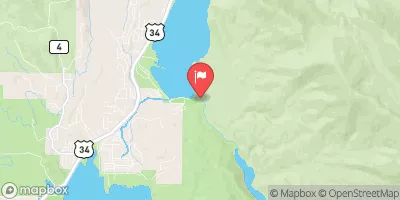
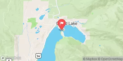
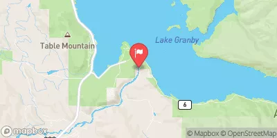
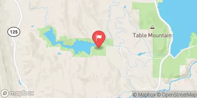
 Shadow Mountain
 Shadow Mountain Reservoir
 Granby Reservoir
 Grand Lake
 Willow Creek Reservoir
 Grand County
 Headwaters To Ends 0.5 Miles Away From Trail Ridge Road
 Granby Lake
 Lone Pine Lake - RMNP
 Watanga Lake - IPWA
 Ten Lake Park - RMNP
 Pettingell Lake - RMNP