Platoro Dike Reservoir Report
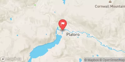
Nearby: Platoro Lake Annella
Last Updated: February 2, 2026
Platoro Dike, located in Conejos County, Colorado, is a key structure managed by the Bureau of Reclamation for flood risk reduction along the Conejos River.
°F
°F
mph
Wind
%
Humidity
15-Day Weather Outlook
Summary
Completed in 1951, this rockfill dam stands at a height of 85 feet and spans 590 feet in length. With a maximum storage capacity of 73,317 acre-feet and a normal storage of 53,506 acre-feet, Platoro Dike plays a crucial role in managing water resources in the region.
Not only does Platoro Dike serve the primary purpose of flood risk reduction, but it also supports irrigation activities in the area. Despite its high hazard potential, the dam has not had a recent condition assessment available. The Emergency Action Plan (EAP) for the dam was last revised in October 2019, highlighting the importance of preparedness and risk management for this critical infrastructure. With its strategic location and significant storage capacity, Platoro Dike is a vital component in water resource management and climate resilience efforts in Colorado.
Year Completed |
1951 |
Dam Length |
590 |
Dam Height |
85 |
River Or Stream |
CONEJOS RIVER |
Primary Dam Type |
Rockfill |
Surface Area |
1000 |
Hydraulic Height |
85 |
Drainage Area |
40 |
Nid Storage |
73317 |
Structural Height |
85 |
Hazard Potential |
High |
Foundations |
Rock |
Nid Height |
85 |
Seasonal Comparison
Hourly Weather Forecast
Nearby Streamflow Levels
Dam Data Reference
Condition Assessment
SatisfactoryNo existing or potential dam safety deficiencies are recognized. Acceptable performance is expected under all loading conditions (static, hydrologic, seismic) in accordance with the minimum applicable state or federal regulatory criteria or tolerable risk guidelines.
Fair
No existing dam safety deficiencies are recognized for normal operating conditions. Rare or extreme hydrologic and/or seismic events may result in a dam safety deficiency. Risk may be in the range to take further action. Note: Rare or extreme event is defined by the regulatory agency based on their minimum
Poor A dam safety deficiency is recognized for normal operating conditions which may realistically occur. Remedial action is necessary. POOR may also be used when uncertainties exist as to critical analysis parameters which identify a potential dam safety deficiency. Investigations and studies are necessary.
Unsatisfactory
A dam safety deficiency is recognized that requires immediate or emergency remedial action for problem resolution.
Not Rated
The dam has not been inspected, is not under state or federal jurisdiction, or has been inspected but, for whatever reason, has not been rated.
Not Available
Dams for which the condition assessment is restricted to approved government users.
Hazard Potential Classification
HighDams assigned the high hazard potential classification are those where failure or mis-operation will probably cause loss of human life.
Significant
Dams assigned the significant hazard potential classification are those dams where failure or mis-operation results in no probable loss of human life but can cause economic loss, environment damage, disruption of lifeline facilities, or impact other concerns. Significant hazard potential classification dams are often located in predominantly rural or agricultural areas but could be in areas with population and significant infrastructure.
Low
Dams assigned the low hazard potential classification are those where failure or mis-operation results in no probable loss of human life and low economic and/or environmental losses. Losses are principally limited to the owner's property.
Undetermined
Dams for which a downstream hazard potential has not been designated or is not provided.
Not Available
Dams for which the downstream hazard potential is restricted to approved government users.

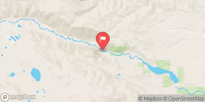
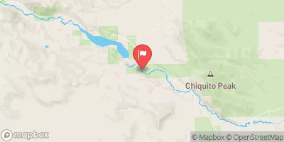
 Platoro Dike
 Platoro Reservoir