Grant B Reservoir Report
Nearby: Johnston Marston Lake - West Dike
Last Updated: February 20, 2026
Grant B is a historic earth dam located in Jefferson County, Colorado, built in 1910 for the primary purpose of irrigation.
Summary
The dam stands at 19 feet in height and spans 1200 feet in length, with a storage capacity of 250 acre-feet. Situated on the South Platte River, the dam also serves purposes such as flood risk reduction and recreation. Despite its age, Grant B has a low hazard potential and is deemed to be in satisfactory condition, last inspected in April 2016.
Owned privately, Grant B is regulated by the Colorado Department of Water Resources, with state jurisdiction, permitting, inspection, and enforcement in place. The dam's spillway is uncontrolled, with a width of 56 feet, and a maximum discharge capacity of 1052 cubic feet per second. With a surface area of 27 acres and a normal storage capacity of 130 acre-feet, Grant B contributes significantly to the water management system in the region. Its risk assessment is moderate, indicating a level 3 hazard potential.
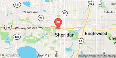
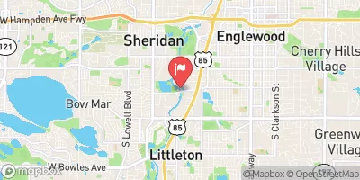
Grant B, situated in the city of Bowmar, Colorado, within the Omaha District of the US Army Corps of Engineers, remains a key structure for water resource management in the area. Enthusiasts of water resources and climate will appreciate the rich history and functionality of Grant B, serving as a vital component in the irrigation network while also providing benefits for flood risk reduction and recreational activities.
°F
°F
mph
Wind
%
Humidity
15-Day Weather Outlook
Year Completed |
1910 |
Dam Length |
1200 |
Dam Height |
19 |
River Or Stream |
S PLATTE R-TR |
Primary Dam Type |
Earth |
Surface Area |
27 |
Hydraulic Height |
19 |
Nid Storage |
250 |
Structural Height |
19 |
Hazard Potential |
Low |
Nid Height |
19 |
Seasonal Comparison
5-Day Hourly Forecast Detail
Nearby Streamflow Levels
Dam Data Reference
Condition Assessment
SatisfactoryNo existing or potential dam safety deficiencies are recognized. Acceptable performance is expected under all loading conditions (static, hydrologic, seismic) in accordance with the minimum applicable state or federal regulatory criteria or tolerable risk guidelines.
Fair
No existing dam safety deficiencies are recognized for normal operating conditions. Rare or extreme hydrologic and/or seismic events may result in a dam safety deficiency. Risk may be in the range to take further action. Note: Rare or extreme event is defined by the regulatory agency based on their minimum
Poor A dam safety deficiency is recognized for normal operating conditions which may realistically occur. Remedial action is necessary. POOR may also be used when uncertainties exist as to critical analysis parameters which identify a potential dam safety deficiency. Investigations and studies are necessary.
Unsatisfactory
A dam safety deficiency is recognized that requires immediate or emergency remedial action for problem resolution.
Not Rated
The dam has not been inspected, is not under state or federal jurisdiction, or has been inspected but, for whatever reason, has not been rated.
Not Available
Dams for which the condition assessment is restricted to approved government users.
Hazard Potential Classification
HighDams assigned the high hazard potential classification are those where failure or mis-operation will probably cause loss of human life.
Significant
Dams assigned the significant hazard potential classification are those dams where failure or mis-operation results in no probable loss of human life but can cause economic loss, environment damage, disruption of lifeline facilities, or impact other concerns. Significant hazard potential classification dams are often located in predominantly rural or agricultural areas but could be in areas with population and significant infrastructure.
Low
Dams assigned the low hazard potential classification are those where failure or mis-operation results in no probable loss of human life and low economic and/or environmental losses. Losses are principally limited to the owner's property.
Undetermined
Dams for which a downstream hazard potential has not been designated or is not provided.
Not Available
Dams for which the downstream hazard potential is restricted to approved government users.

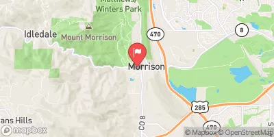
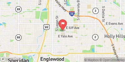
 Grant B
 West Quincy Avenue Denver
 Idledale to Morrison
 Marston Lake
 Upper Tule Lake
 Blue Heron Lake
 Harriman Lake
 Bowles Grove Pond