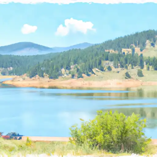
Ruedi Reservoir Nr Basalt Reservoir
As of July 20, 2026, Ruedi Reservoir Nr Basalt is holding 69,207 acre-ft of water — 100% of normal storage for this date. Storage data refreshed throughout the day.

Ruedi Reservoir Nr Basalt
Ruedi Reservoir is a man-made reservoir located near Basalt, Colorado. The reservoir was constructed in 1968 and is operated by the Bureau of Reclamation. The hydrology of the reservoir is fed by the Fryingpan River and is primarily used for water storage and hydroelectric power generation. The specific surface flow for the reservoir has a capacity of 102,373 acre-feet and it receives water from the Fryingpan River, Williams Creek, and Chapman Creek. The snowpack providers for the reservoir are Aspen and Vail, which are both located within the Roaring Fork Valley. Agricultural users rely on the reservoir for irrigation, and recreational activities such as fishing, boating, and camping are popular among tourists and locals.
Daily levels at Ruedi Reservoir Nr Basalt
Storage volume, pool elevation, and total release plotted from the operating agency's daily observations.
Storage
acre-ft · code 17
Pool Elevation
ft · code 49
Plan around the weather
Same NOAA / yr.no feed Snoflo's iOS app uses. Watch the precipitation column on the meteogram -- rain on the basin upstream typically lifts inflow 24-72 hours later.
Next 5 days, hour by hour
Temperature line with weather symbols on top, snow + rain accumulation as columns, humidity as a dotted line.
5-day forecast table
Every 3 hours, broken out across temperature, snow, rain, humidity, and wind. Each cell is colour-coded relative to the column min/max.
| Time | Condition | Temp (°F) | Snow (in) | Rain (in) | Humidity (%) | Wind (mps) | Wind dir |
|---|---|---|---|---|---|---|---|
| Loading detailed forecast… | |||||||
15-day temperature & precipitation
Daily temperatures, snow, and rain projected over the next two weeks.
Nearby streamflow gauges
USGS streamgauges around Ruedi Reservoir Nr Basalt -- inflows here typically show up in storage 24-72 hours later.
| Streamgauge | Discharge | View |
|---|---|---|
| Fryingpan River Near Ruedi | 199 cfs | → |
| Fryingpan River At Meredith | 28 cfs | → |
| Fryingpan River Near Thomasville | 24 cfs | → |
| North Fork Fryingpan River Near Norrie | 3 cfs | → |
| Hunter Creek Near Aspen | 8 cfs | → |
| Roaring Fork River Near Aspen | 18 cfs | → |


.webp)


About Ruedi Reservoir Nr Basalt
Where does the data for Ruedi Reservoir Nr Basalt come from?
Daily storage, pool elevation, and release rates are sourced from USGS, USBR, and USACE monitoring stations. Weather forecast comes from NOAA / yr.no -- the same feed Snoflo's iOS app uses.
How often is the report updated?
Storage observations are updated daily by the operating agency. The 15-day weather forecast refreshes throughout the day. Snoflo caches and renders the most recent observation -- check the "as of" timestamp on the storage card.
What does the Hazard hazard rating mean?
The Corps of Engineers' hazard potential classification grades probable consequences if the dam fails: High = probable loss of human life; Significant = no probable loss of human life but possible economic loss / environmental damage; Low = no probable loss of human life, only minor economic / environmental losses. See the Dam Data Reference card below for the full definitions.
What's "% of normal"?
The current storage value compared to the historical average storage on this calendar day. 100% = right on average; values above 100% mean above-normal storage (wet year); values below mean below-normal (dry year or drought).
Can I get alerts when storage crosses a threshold?
Yes -- alerts are managed in the Snoflo iOS app. Favorite this reservoir, set a threshold, and you'll get a push the moment conditions cross.