Cla04 Dam

Cla04
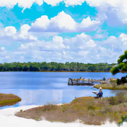
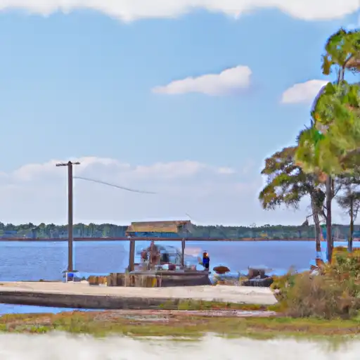
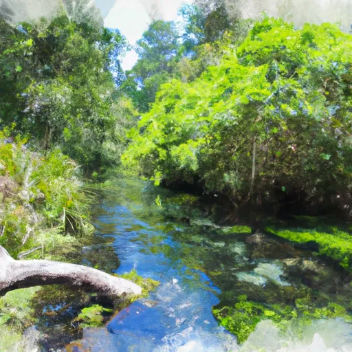
Cla04, located in Clay County, Florida, is a privately owned dam with a primary purpose of recreation. This earth dam stands at a height of 12.99 feet and has a storage capacity of 533.19 acre-feet. The dam is situated on an unnamed pond and offers a surface area of 36 acres for recreational activities. While the hazard potential of Cla04 is labeled as undetermined and its condition assessment is not rated, it is regulated by the state and undergoes regular inspections, enforcement, and permitting processes to ensure safety.
Managed by the Jacksonville District of the US Army Corps of Engineers, Cla04 has no associated structures and has not been modified or inspected recently. Despite the lack of detailed risk assessment measures, emergency action plans, or inundation maps, the dam remains a key feature for recreational enjoyment in the area. The dam's location in Keystone Heights, along with its scenic surroundings and potential for water-based activities, make it a popular destination for water resource and climate enthusiasts interested in exploring Florida's diverse landscape and water systems.
For those fascinated by water resource management and climate-related infrastructure, Cla04 serves as an intriguing case study in the balance between recreational use and safety regulations. Its presence as a privately owned earth dam in Clay County highlights the importance of ongoing monitoring and maintenance to ensure the protection of both the environment and the community. As discussions around climate change and water resource management continue to evolve, Cla04 stands as a reminder of the critical role that infrastructure plays in supporting sustainable and resilient water systems for future generations.
Plan around the weather
Same NOAA / yr.no feed Snoflo's iOS app uses. Watch the precipitation column on the meteogram -- rain on the basin upstream typically lifts inflow 24-72 hours later.
Next 5 days, hour by hour
Temperature line with weather symbols on top, snow + rain accumulation as columns, humidity as a dotted line.
5-day forecast table
Every 3 hours, broken out across temperature, snow, rain, humidity, and wind. Each cell is colour-coded relative to the column min/max.
| Time | Condition | Temp (°F) | Snow (in) | Rain (in) | Humidity (%) | Wind (mps) | Wind dir |
|---|---|---|---|---|---|---|---|
| Loading detailed forecast… | |||||||
15-day temperature & precipitation
Daily temperatures, snow, and rain projected over the next two weeks.
Nearby streamflow gauges
USGS streamgauges around Cla04 -- inflows here typically show up in storage 24-72 hours later.
| Streamgauge | Discharge | View |
|---|---|---|
| Santa Fe River Near Graham | 0 cfs | → |
| South Fork Black Creek Nr Penney Farms | 16 cfs | → |
| New River Nr Lake Butler Fla | 2 cfs | → |
| North Fork Black Creek Nr Middleburg | 15 cfs | → |
| Santa Fe River At Worthington Springs | 0 cfs | → |
| Orange Creek At Orange Springs | 3 cfs | → |
Make a day of it
Boat launches, lakeside camping, fishing access, and other reservoirs near Cla04.
Boat launches
See all →


Campgrounds
See all →


Fishing spots
See all →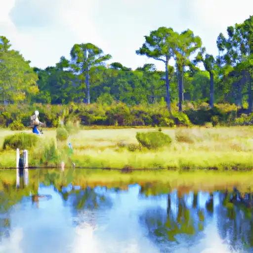


River runs
See all →


About Cla04
Where does the data for Cla04 come from?
Structural and regulatory data come from the U.S. Army Corps of Engineers' National Inventory of Dams (NID). Weather forecast comes from NOAA / yr.no -- the same feed Snoflo's iOS app uses.
How often is the report updated?
NID structural data refreshes annually as the Corps publishes updated assessments. The weather forecast refreshes throughout the day.
What does the Undetermined hazard rating mean?
The Corps of Engineers' hazard potential classification grades probable consequences if the dam fails: High = probable loss of human life; Significant = no probable loss of human life but possible economic loss / environmental damage; Low = no probable loss of human life, only minor economic / environmental losses. See the Dam Data Reference card below for the full definitions.
What's "% of normal"?
The current storage value compared to the historical average storage on this calendar day. 100% = right on average; values above 100% mean above-normal storage (wet year); values below mean below-normal (dry year or drought).
Can I get alerts when storage crosses a threshold?
Yes -- alerts are managed in the Snoflo iOS app. Favorite this dam, set a threshold, and you'll get a push the moment conditions cross.
Dam data reference
Condition Assessment
- Satisfactory
- No existing or potential dam safety deficiencies are recognized. Acceptable performance is expected under all loading conditions (static, hydrologic, seismic) in accordance with the minimum applicable state or federal regulatory criteria or tolerable risk guidelines.
- Fair
- No existing dam safety deficiencies are recognized for normal operating conditions. Rare or extreme hydrologic and/or seismic events may result in a dam safety deficiency. Risk may be in the range to take further action.
- Poor
- A dam safety deficiency is recognized for normal operating conditions which may realistically occur. Remedial action is necessary. POOR may also be used when uncertainties exist as to critical analysis parameters which identify a potential dam safety deficiency.
- Unsatisfactory
- A dam safety deficiency is recognized that requires immediate or emergency remedial action for problem resolution.
- Not Rated
- The dam has not been inspected, is not under state or federal jurisdiction, or has been inspected but, for whatever reason, has not been rated.
Hazard Potential Classification
- High
- Dams assigned the high hazard potential classification are those where failure or mis-operation will probably cause loss of human life.
- Significant
- Dams assigned the significant hazard potential classification are those dams where failure or mis-operation results in no probable loss of human life but can cause economic loss, environmental damage, disruption of lifeline facilities, or impact other concerns. Significant hazard potential classification dams are often located in predominantly rural or agricultural areas but could be in areas with population and significant infrastructure.
- Low
- Dams assigned the low hazard potential classification are those where failure or mis-operation results in no probable loss of human life and low economic and/or environmental losses. Losses are principally limited to the owner's property.
- Undetermined
- Dams for which a downstream hazard potential has not been designated or is not provided.