


Lake Talquin Nr Bloxham Reservoir Report
Last Updated: May 1, 2026
Nearby: King Edward Dam Joe Budd
°F
°F
mph
Wind
%
Humidity
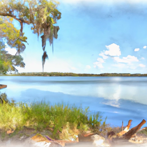
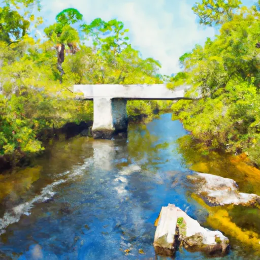
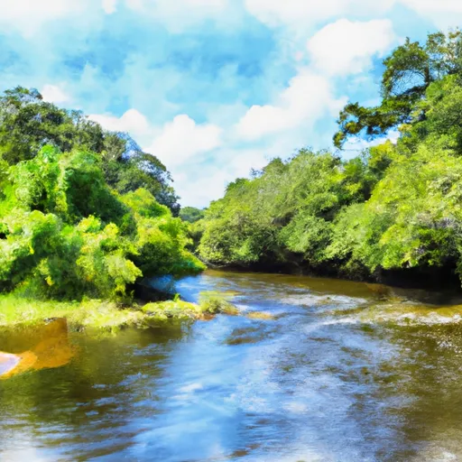
Lake Talquin is a man-made reservoir located in Florida, USA, near Bloxham.
Summary
It was created in 1927 by the construction of the Talquin Dam on the Ochlockonee River. The lake has a surface area of 10,000 acres and a maximum depth of 40 feet. Its primary purpose is to provide hydroelectric power to the surrounding areas. The lake is fed by the Ochlockonee River and rainwater, and its water is used for irrigation by local farmers. The lake is also popular for recreational activities such as fishing, boating, and camping. The lake is surrounded by forests and wildlife, including deer, turkeys, and bald eagles. The lake's water level is controlled by the Talquin Dam, and it is monitored by the US Army Corps of Engineers.
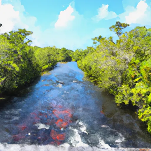
Regional Streamflow Levels
 Ochlockonee River Nr Bloxham
|
111cfs |
 Little River Nr Midway
|
13cfs |
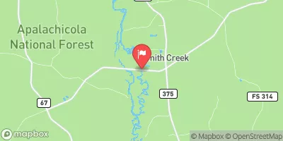 Ochlockonee River Nr Smith Creek
|
813cfs |
 Little River Nr Quincy
|
8cfs |
 Telogia Creek Nr Bristol
|
82cfs |
 Ochlockonee River Nr Havana
|
33cfs |
15-Day Long Term Forecast
Reservoir Details
| Lake Or Reservoir Water Surface Elevation Above Ngvd 1929, Ft 24hr Change | 0.0% |
| Percent of Normal | 100% |
| Minimum |
66.44 ft
2012-08-29 |
| Maximum |
71.31 ft
2021-08-17 |
| Average | 68 ft |
Seasonal Comparison
Lake Or Reservoir Water Surface Elevation Above Ngvd 1929, Ft Levels
5-Day Hourly Forecast Detail
Dam Data Reference
Condition Assessment
SatisfactoryNo existing or potential dam safety deficiencies are recognized. Acceptable performance is expected under all loading conditions (static, hydrologic, seismic) in accordance with the minimum applicable state or federal regulatory criteria or tolerable risk guidelines.
Fair
No existing dam safety deficiencies are recognized for normal operating conditions. Rare or extreme hydrologic and/or seismic events may result in a dam safety deficiency. Risk may be in the range to take further action. Note: Rare or extreme event is defined by the regulatory agency based on their minimum
Poor A dam safety deficiency is recognized for normal operating conditions which may realistically occur. Remedial action is necessary. POOR may also be used when uncertainties exist as to critical analysis parameters which identify a potential dam safety deficiency. Investigations and studies are necessary.
Unsatisfactory
A dam safety deficiency is recognized that requires immediate or emergency remedial action for problem resolution.
Not Rated
The dam has not been inspected, is not under state or federal jurisdiction, or has been inspected but, for whatever reason, has not been rated.
Not Available
Dams for which the condition assessment is restricted to approved government users.
Hazard Potential Classification
HighDams assigned the high hazard potential classification are those where failure or mis-operation will probably cause loss of human life.
Significant
Dams assigned the significant hazard potential classification are those dams where failure or mis-operation results in no probable loss of human life but can cause economic loss, environment damage, disruption of lifeline facilities, or impact other concerns. Significant hazard potential classification dams are often located in predominantly rural or agricultural areas but could be in areas with population and significant infrastructure.
Low
Dams assigned the low hazard potential classification are those where failure or mis-operation results in no probable loss of human life and low economic and/or environmental losses. Losses are principally limited to the owner's property.
Undetermined
Dams for which a downstream hazard potential has not been designated or is not provided.
Not Available
Dams for which the downstream hazard potential is restricted to approved government users.
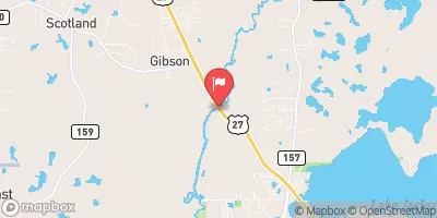
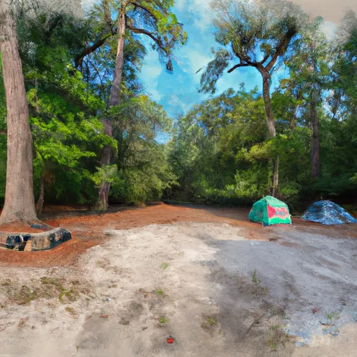
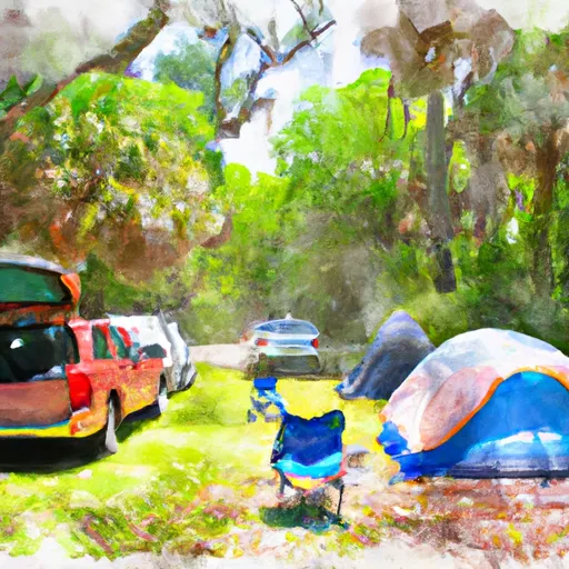
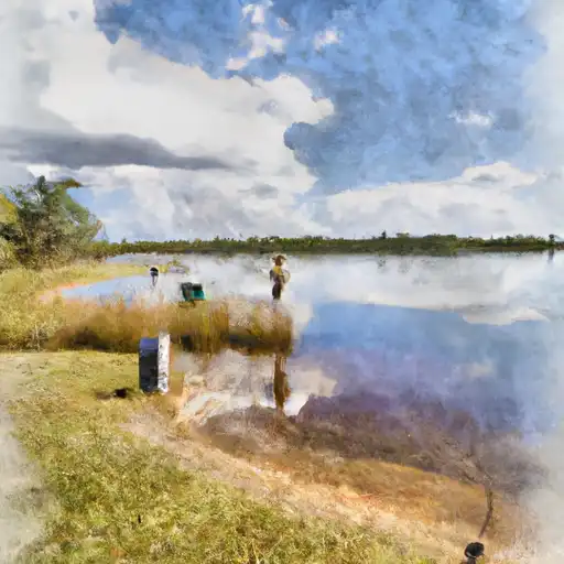
Area Campgrounds
| Location | Reservations | Toilets |
|---|---|---|
 Hall Landing
|
||
 Buckhorn Hunt Camp
|
||
 Williams Landing
|
||
 Brown House
|
||
 High Bluff Campground
|
||
 Brown House Hunt Camp
|
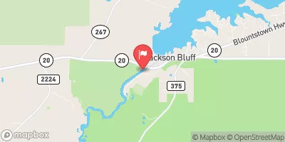
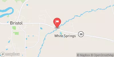
 Lake Talquin Nr Bloxham
 High Bluff Landing Road, Midway
River Runs
-
 2 Miles Below Dam On Lake Talquin To Ochlockonee Bay
-
 Headwaters To Concrete Bridge (Burnt Bridge) On Fh 13 (Where River Enters Bradwell Ray Wilderness)
-
 Bradwell Bay Wilderness (Northern Boundary) To Bradwell Bay Wilderness Boundary At Trice Bridge On Fr 329
-
 Tirce Creek Bridge (Monkey Creek) To Forest Service Property Boundary In Sec 13
-
 Segment B--Sh 65 To Carr Bridge On Fh 13
-
 Segment C--Mud Swamp/New River Wilderness Boundary To Mud Swamp/New River Wilderness (Southern) Boundary
 Joe Budd Pond
 Lake Jackson (Tallahassee)
 Lake Ella
 Piney Z Lake
 Ocheesee Pond