Lsrcd Section 13 dam

Lsrcd Section 13
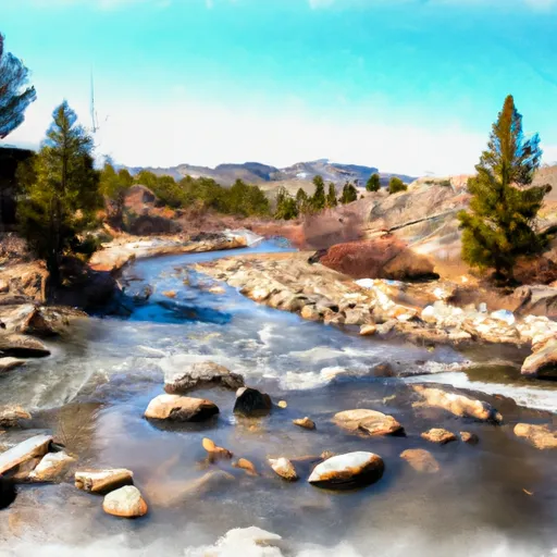
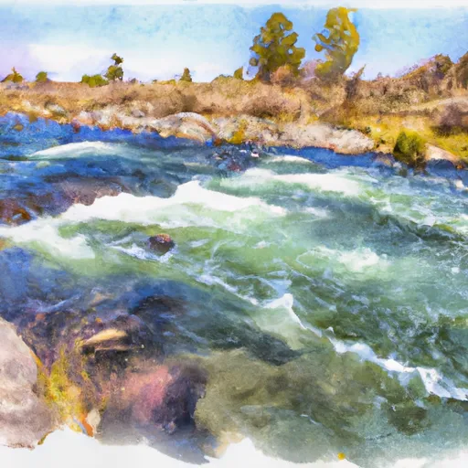
Located in Big Horn, Wyoming, Lsrcd Section 13 is a privately owned earth dam constructed in 1997 for water supply purposes along the Blue Eagle Creek. Designed by Amy Allen, the dam stands at 25 feet high with a storage capacity of 113 acre-feet and a surface area of 12.83 acres. With a low hazard potential and fair condition assessment, the dam is regulated and inspected by the state regulatory agencies, ensuring its safety and compliance with regulations.
The dam features an uncontrolled spillway and an outlet gate for controlled water release, with a maximum discharge capacity of 1060 cubic feet per second. Its hydraulic height reaches 16 feet, providing essential water resources to the surrounding area. Although the dam has undergone no recent modifications, it is subject to regular inspections every 5 years to assess its condition and ensure its integrity. With Liz Cheney (R) representing the Congressional District 00, Wyoming, Lsrcd Section 13 serves as a crucial water management infrastructure in the region.
Overall, Lsrcd Section 13 plays a significant role in water supply management for the local community, offering a vital source of water storage and distribution along Blue Eagle Creek. With moderate risk assessment and effective risk management measures in place, the dam continues to operate safely and efficiently, contributing to water resource sustainability in the area. As a key component of the water infrastructure in Big Horn, Wyoming, Lsrcd Section 13 highlights the importance of proper dam regulation and maintenance to ensure the continued availability of water resources in the region.
Plan around the weather
Same NOAA / yr.no feed Snoflo's iOS app uses. Watch the precipitation column on the meteogram -- rain on the basin upstream typically lifts inflow 24-72 hours later.
Next 5 days, hour by hour
Temperature line with weather symbols on top, snow + rain accumulation as columns, humidity as a dotted line.
5-day forecast table
Every 3 hours, broken out across temperature, snow, rain, humidity, and wind. Each cell is colour-coded relative to the column min/max.
| Time | Condition | Temp (°F) | Snow (in) | Rain (in) | Humidity (%) | Wind (mps) | Wind dir |
|---|---|---|---|---|---|---|---|
| Loading detailed forecast… | |||||||
15-day temperature & precipitation
Daily temperatures, snow, and rain projected over the next two weeks.
Nearby streamflow gauges
USGS streamgauges around Lsrcd Section 13 -- inflows here typically show up in storage 24-72 hours later.
| Streamgauge | Discharge | View |
|---|---|---|
| Shell Creek Near Shell | 74 cfs | → |
| Bighorn River At Basin | 586 cfs | → |
| Shell Creek Above Shell Creek Reservoir | 12 cfs | → |
| Bighorn R At Worland Wyo | 4,350 cfs | → |
| South Piney Creek At Willow Park | 0 cfs | → |
| Bighorn River At Kane | 609 cfs | → |


About Lsrcd Section 13
Where does the data for Lsrcd Section 13 come from?
Structural and regulatory data come from the U.S. Army Corps of Engineers' National Inventory of Dams (NID). Weather forecast comes from NOAA / yr.no -- the same feed Snoflo's iOS app uses.
How often is the report updated?
NID structural data refreshes annually as the Corps publishes updated assessments. The weather forecast refreshes throughout the day.
What does the Low hazard rating mean?
The Corps of Engineers' hazard potential classification grades probable consequences if the dam fails: High = probable loss of human life; Significant = no probable loss of human life but possible economic loss / environmental damage; Low = no probable loss of human life, only minor economic / environmental losses. See the Dam Data Reference card below for the full definitions.
What's "% of normal"?
The current storage value compared to the historical average storage on this calendar day. 100% = right on average; values above 100% mean above-normal storage (wet year); values below mean below-normal (dry year or drought).
Can I get alerts when storage crosses a threshold?
Yes -- alerts are managed in the Snoflo iOS app. Favorite this dam, set a threshold, and you'll get a push the moment conditions cross.
Dam data reference
Condition Assessment
- Satisfactory
- No existing or potential dam safety deficiencies are recognized. Acceptable performance is expected under all loading conditions (static, hydrologic, seismic) in accordance with the minimum applicable state or federal regulatory criteria or tolerable risk guidelines.
- Fair
- No existing dam safety deficiencies are recognized for normal operating conditions. Rare or extreme hydrologic and/or seismic events may result in a dam safety deficiency. Risk may be in the range to take further action.
- Poor
- A dam safety deficiency is recognized for normal operating conditions which may realistically occur. Remedial action is necessary. POOR may also be used when uncertainties exist as to critical analysis parameters which identify a potential dam safety deficiency.
- Unsatisfactory
- A dam safety deficiency is recognized that requires immediate or emergency remedial action for problem resolution.
- Not Rated
- The dam has not been inspected, is not under state or federal jurisdiction, or has been inspected but, for whatever reason, has not been rated.
Hazard Potential Classification
- High
- Dams assigned the high hazard potential classification are those where failure or mis-operation will probably cause loss of human life.
- Significant
- Dams assigned the significant hazard potential classification are those dams where failure or mis-operation results in no probable loss of human life but can cause economic loss, environmental damage, disruption of lifeline facilities, or impact other concerns. Significant hazard potential classification dams are often located in predominantly rural or agricultural areas but could be in areas with population and significant infrastructure.
- Low
- Dams assigned the low hazard potential classification are those where failure or mis-operation results in no probable loss of human life and low economic and/or environmental losses. Losses are principally limited to the owner's property.
- Undetermined
- Dams for which a downstream hazard potential has not been designated or is not provided.