Grouse Creek Main Dam

Grouse Creek Main Dam
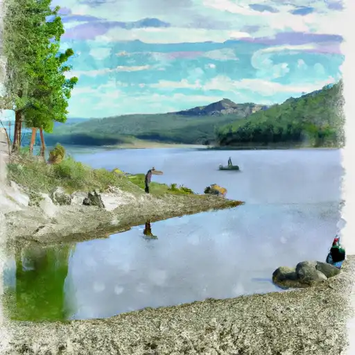
Grouse Creek Main Dam, also known as Grouse Creek South Dam, is a vital Federal-owned structure in Bonner, Idaho, serving primarily for irrigation purposes. Completed in 1992, this Earth-type dam stands at a height of 17 feet and has a normal storage capacity of 57 acre-feet. Situated on the Spring Grouse Creek, this dam plays a crucial role in managing water resources in the region.
With a low hazard potential and fair condition assessment, Grouse Creek Main Dam has been inspected regularly, with the last assessment conducted in October 2017. The dam features an uncontrolled spillway with a width of 5 feet, ensuring the safe release of excess water during periods of high flow. While the risk assessment indicates a moderate level of risk, measures are in place to manage any potential issues that may arise.
Overall, Grouse Creek Main Dam is a key infrastructure component in the water resource management system of the area, providing essential irrigation water for agricultural activities. Its strategic location and design ensure the efficient utilization of water from Spring Grouse Creek, contributing to the sustainable development of the region while maintaining a focus on safety and risk management.
Plan around the weather
Same NOAA / yr.no feed Snoflo's iOS app uses. Watch the precipitation column on the meteogram -- rain on the basin upstream typically lifts inflow 24-72 hours later.
Next 5 days, hour by hour
Temperature line with weather symbols on top, snow + rain accumulation as columns, humidity as a dotted line.
5-day forecast table
Every 3 hours, broken out across temperature, snow, rain, humidity, and wind. Each cell is colour-coded relative to the column min/max.
| Time | Condition | Temp (°F) | Snow (in) | Rain (in) | Humidity (%) | Wind (mps) | Wind dir |
|---|---|---|---|---|---|---|---|
| Loading detailed forecast… | |||||||
15-day temperature & precipitation
Daily temperatures, snow, and rain projected over the next two weeks.
Nearby streamflow gauges
USGS streamgauges around Grouse Creek Main Dam -- inflows here typically show up in storage 24-72 hours later.
| Streamgauge | Discharge | View |
|---|---|---|
| Pack River Nr Colburn Id | 610 cfs | → |
| Kootenai River @ Tribal Hatchery Nr Bonners Ferry | 15,700 cfs | → |
| Kootenai River At Leonia Id | 9,770 cfs | → |
| Kootenai River Bel Moyie River Nr Bonners Ferry Id | 9,910 cfs | → |
| Yaak River Near Troy Mt | 156 cfs | → |
| Lightning Creek At Clark Fork Id | 17 cfs | → |
Make a day of it
Boat launches, lakeside camping, fishing access, and other reservoirs near Grouse Creek Main Dam.
Boat launches
See all →


Campgrounds
See all →


Fishing spots
See all →


River runs
See all →


More reservoirs
See all →
About Grouse Creek Main Dam
Where does the data for Grouse Creek Main Dam come from?
Structural and regulatory data come from the U.S. Army Corps of Engineers' National Inventory of Dams (NID). Weather forecast comes from NOAA / yr.no -- the same feed Snoflo's iOS app uses.
How often is the report updated?
NID structural data refreshes annually as the Corps publishes updated assessments. The weather forecast refreshes throughout the day.
What does the Low hazard rating mean?
The Corps of Engineers' hazard potential classification grades probable consequences if the dam fails: High = probable loss of human life; Significant = no probable loss of human life but possible economic loss / environmental damage; Low = no probable loss of human life, only minor economic / environmental losses. See the Dam Data Reference card below for the full definitions.
What's "% of normal"?
The current storage value compared to the historical average storage on this calendar day. 100% = right on average; values above 100% mean above-normal storage (wet year); values below mean below-normal (dry year or drought).
Can I get alerts when storage crosses a threshold?
Yes -- alerts are managed in the Snoflo iOS app. Favorite this dam, set a threshold, and you'll get a push the moment conditions cross.
Dam data reference
Condition Assessment
- Satisfactory
- No existing or potential dam safety deficiencies are recognized. Acceptable performance is expected under all loading conditions (static, hydrologic, seismic) in accordance with the minimum applicable state or federal regulatory criteria or tolerable risk guidelines.
- Fair
- No existing dam safety deficiencies are recognized for normal operating conditions. Rare or extreme hydrologic and/or seismic events may result in a dam safety deficiency. Risk may be in the range to take further action.
- Poor
- A dam safety deficiency is recognized for normal operating conditions which may realistically occur. Remedial action is necessary. POOR may also be used when uncertainties exist as to critical analysis parameters which identify a potential dam safety deficiency.
- Unsatisfactory
- A dam safety deficiency is recognized that requires immediate or emergency remedial action for problem resolution.
- Not Rated
- The dam has not been inspected, is not under state or federal jurisdiction, or has been inspected but, for whatever reason, has not been rated.
Hazard Potential Classification
- High
- Dams assigned the high hazard potential classification are those where failure or mis-operation will probably cause loss of human life.
- Significant
- Dams assigned the significant hazard potential classification are those dams where failure or mis-operation results in no probable loss of human life but can cause economic loss, environmental damage, disruption of lifeline facilities, or impact other concerns. Significant hazard potential classification dams are often located in predominantly rural or agricultural areas but could be in areas with population and significant infrastructure.
- Low
- Dams assigned the low hazard potential classification are those where failure or mis-operation results in no probable loss of human life and low economic and/or environmental losses. Losses are principally limited to the owner's property.
- Undetermined
- Dams for which a downstream hazard potential has not been designated or is not provided.