


Kitchin Dam Reservoir Report
Last Updated: May 1, 2026
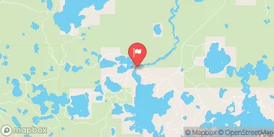
Nearby: Victoria Bond Falls Auxiliary Dike
°F
°F
mph
Wind
%
Humidity
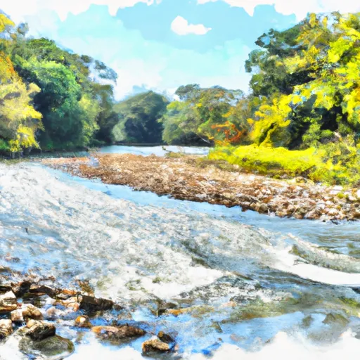
Located in Ontonagon, Michigan, Kitchin Dam is a privately owned earth dam that was completed in 1973 for recreational purposes.
Summary
This dam, designed by USDA NRCS, stands at a height of 7 feet and has a length of 220 feet, providing a storage capacity of 58 acre-feet. Situated on the Trib S Br Ontonagon River, Kitchin Dam plays a vital role in regulating water flow and enhancing recreational opportunities in the area.
Managed by the Michigan Department of Environment, Great Lakes, and Energy, Kitchin Dam is subject to regular inspections to ensure its structural integrity and safety. With a low hazard potential and a satisfactory condition assessment, this dam poses minimal risk to the surrounding community. In the event of an emergency, appropriate risk management measures are in place to mitigate any potential threats and ensure the safety of downstream areas.
Despite its modest size and limited drainage area of 0.3 square miles, Kitchin Dam serves as a valuable asset for water resource management and climate resilience in the region. With its controlled spillway and moderate risk assessment, this dam exemplifies the importance of sustainable infrastructure development in safeguarding water resources and promoting environmental stewardship.
Regional Streamflow Levels

15-Day Long Term Forecast
Year Completed |
1973 |
Dam Length |
220 |
Dam Height |
7 |
River Or Stream |
Trib S Br Ontonagon River |
Primary Dam Type |
Earth |
Surface Area |
14 |
Hydraulic Height |
7 |
Drainage Area |
0.3 |
Nid Storage |
58 |
Structural Height |
7 |
Hazard Potential |
Low |
Nid Height |
7 |
Seasonal Comparison
5-Day Hourly Forecast Detail
Dam Data Reference
Condition Assessment
SatisfactoryNo existing or potential dam safety deficiencies are recognized. Acceptable performance is expected under all loading conditions (static, hydrologic, seismic) in accordance with the minimum applicable state or federal regulatory criteria or tolerable risk guidelines.
Fair
No existing dam safety deficiencies are recognized for normal operating conditions. Rare or extreme hydrologic and/or seismic events may result in a dam safety deficiency. Risk may be in the range to take further action. Note: Rare or extreme event is defined by the regulatory agency based on their minimum
Poor A dam safety deficiency is recognized for normal operating conditions which may realistically occur. Remedial action is necessary. POOR may also be used when uncertainties exist as to critical analysis parameters which identify a potential dam safety deficiency. Investigations and studies are necessary.
Unsatisfactory
A dam safety deficiency is recognized that requires immediate or emergency remedial action for problem resolution.
Not Rated
The dam has not been inspected, is not under state or federal jurisdiction, or has been inspected but, for whatever reason, has not been rated.
Not Available
Dams for which the condition assessment is restricted to approved government users.
Hazard Potential Classification
HighDams assigned the high hazard potential classification are those where failure or mis-operation will probably cause loss of human life.
Significant
Dams assigned the significant hazard potential classification are those dams where failure or mis-operation results in no probable loss of human life but can cause economic loss, environment damage, disruption of lifeline facilities, or impact other concerns. Significant hazard potential classification dams are often located in predominantly rural or agricultural areas but could be in areas with population and significant infrastructure.
Low
Dams assigned the low hazard potential classification are those where failure or mis-operation results in no probable loss of human life and low economic and/or environmental losses. Losses are principally limited to the owner's property.
Undetermined
Dams for which a downstream hazard potential has not been designated or is not provided.
Not Available
Dams for which the downstream hazard potential is restricted to approved government users.
Area Campgrounds
| Location | Reservations | Toilets |
|---|---|---|
 Stannard Town Campground
|
||
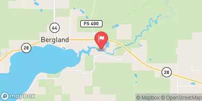
 Bergland Town Park
|
||
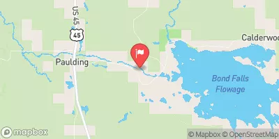
 Bond Falls Flowage
|
||
 Robbins Pond Campground
|
||
 Bob Lake Campground
|
||
 Bob Lake
|
 Lake Gogebic Near Bergland
 Cisco Lake Near Watersmeet
 Lac Vieux Desert Near Land O'Lakes
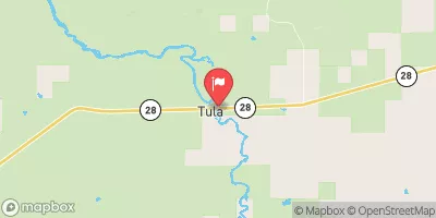
 Railroad Street Bergland
River Runs
-
 South Branch,Confluence Of Cisco Branch And Tenmile Creek To Confluence With West Branch
-
 West Branch, Mi State Highway 28 To Cascade Falls
-
 From Wagner Lake In Sec 13, T49N, R31W To Eastern Boundary Of The Ottawa Nf In Sec 12, T48N, R35@
-
 Minnewawa Falls To Lake Superior
-
 West Branch Net River, From Its Source In Sec 35, T48N, R34W To Confluence With Mainstem Net River In Sec 24, T46N, R34W
-
 Net River Mainstem, Confluence With East/West Branches To Confluence With The Mainstem Paint River
 Steusser Lake
 Lake of the Clouds
 Lake Roland (Twin Lakes)
 Lake Gerald (Twin Lakes)
 Prickett Reservoir