


Michael Cox Dam Reservoir Report
Last Updated: May 11, 2026
Nearby: Dixiana Mine Dam Steer Branch Dam
°F
°F
mph
Wind
%
Humidity
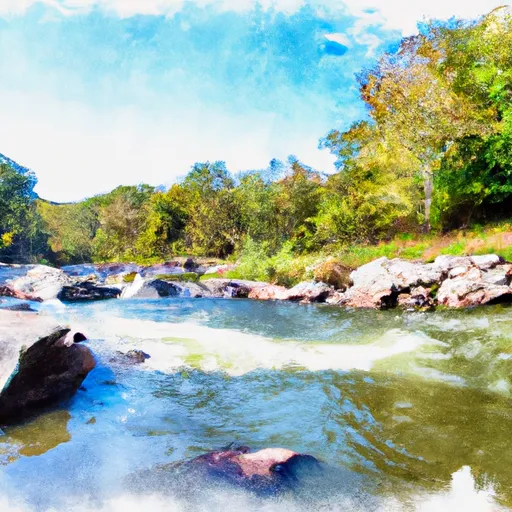
The Michael Cox Dam in Wise, Virginia, is a state-regulated structure owned by an entity not listed in the data.
Summary
It is situated in a picturesque location with a latitude of 37.0786 and longitude of -82.6947. The dam has a height of 38 feet and a storage capacity of 89.07 acre-feet, with a normal storage level of 42.6 acre-feet. The dam's surface area is 3.8 acres, making it a significant water resource in the area.
Although specific details about the dam's construction year and primary purpose are not available, the Michael Cox Dam is a vital component of water resource management in the region. With its state-regulated status and inspection, permitting, and enforcement processes in place, the dam plays a crucial role in ensuring the safety and sustainability of the surrounding water supply. Its undetermined hazard potential and not-rated condition assessment indicate the need for ongoing monitoring and maintenance to uphold its integrity and functionality for water resource and climate enthusiasts to appreciate and support.
Regional Streamflow Levels
15-Day Long Term Forecast
Dam Height |
38 |
Surface Area |
3.8 |
Hydraulic Height |
38 |
Nid Storage |
89.07 |
Structural Height |
38 |
Hazard Potential |
Undetermined |
Nid Height |
38 |
Seasonal Comparison
5-Day Hourly Forecast Detail
Dam Data Reference
Condition Assessment
SatisfactoryNo existing or potential dam safety deficiencies are recognized. Acceptable performance is expected under all loading conditions (static, hydrologic, seismic) in accordance with the minimum applicable state or federal regulatory criteria or tolerable risk guidelines.
Fair
No existing dam safety deficiencies are recognized for normal operating conditions. Rare or extreme hydrologic and/or seismic events may result in a dam safety deficiency. Risk may be in the range to take further action. Note: Rare or extreme event is defined by the regulatory agency based on their minimum
Poor A dam safety deficiency is recognized for normal operating conditions which may realistically occur. Remedial action is necessary. POOR may also be used when uncertainties exist as to critical analysis parameters which identify a potential dam safety deficiency. Investigations and studies are necessary.
Unsatisfactory
A dam safety deficiency is recognized that requires immediate or emergency remedial action for problem resolution.
Not Rated
The dam has not been inspected, is not under state or federal jurisdiction, or has been inspected but, for whatever reason, has not been rated.
Not Available
Dams for which the condition assessment is restricted to approved government users.
Hazard Potential Classification
HighDams assigned the high hazard potential classification are those where failure or mis-operation will probably cause loss of human life.
Significant
Dams assigned the significant hazard potential classification are those dams where failure or mis-operation results in no probable loss of human life but can cause economic loss, environment damage, disruption of lifeline facilities, or impact other concerns. Significant hazard potential classification dams are often located in predominantly rural or agricultural areas but could be in areas with population and significant infrastructure.
Low
Dams assigned the low hazard potential classification are those where failure or mis-operation results in no probable loss of human life and low economic and/or environmental losses. Losses are principally limited to the owner's property.
Undetermined
Dams for which a downstream hazard potential has not been designated or is not provided.
Not Available
Dams for which the downstream hazard potential is restricted to approved government users.
Area Campgrounds
| Location | Reservations | Toilets |
|---|---|---|
 Cane Patch
|
||
 Cane Patch Campground
|
||
 Swindall Campsite
|
||
 Indian Grave Campsite
|
||
 Jack Sutter Campsite
|
||
 Flag Rock Recreation Area
|
 Martins Fork Lk At Martins Fk Dam Nr Smith
 Big Cherry Road Wise County
River Runs
-
 Headwaters To Alternative Route 58
-
 State Route 72 Bridge To Confluence With Clinch River
-
 Fs Route 700 To Confluence With Clinch River
-
 Confluence With Guest River To Confluence With Little Stony Creek
-
 Confluence Of White Branch With Russell Fork (And 1 Mile Upstream On Pound River) To Railroad Bridge Crossing Above Elkhorn City