Deerskin River Dam

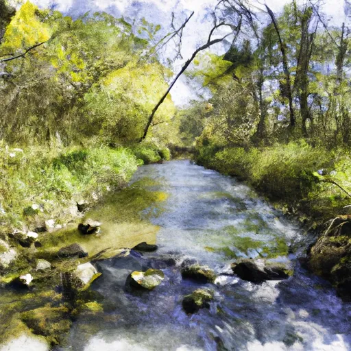
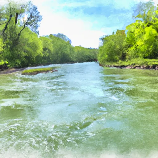
Deerskin River
Deerskin River, also known as Jones/Mcdermott, is a privately owned dam located in Vilas, Wisconsin. This Earth-type dam, completed in 1949, stands at a height of 9 feet with a structural height of 9 feet and a length of 195 feet. With a primary purpose of recreation, the dam provides a storage capacity of 720 acre-feet and a normal storage of 120 acre-feet, covering a surface area of 90 acres and draining a 72-square mile drainage area.
Managed by the Wisconsin Department of Natural Resources (WIDNR), Deerskin River dam is regulated, inspected, and enforced by state agencies. The dam has a low hazard potential and is currently rated as "Not Rated" in terms of condition assessment. Despite its age, the dam continues to serve its purpose effectively, offering recreational opportunities in the area. While the risk assessment is moderate, with a rating of 3, the dam's risk management measures have not been specified.
Deerskin River dam, situated in the Detroit District under Congressional District 07 in Wisconsin, serves as a vital asset for water resource and climate enthusiasts. With its picturesque location and recreational offerings, the dam stands as a testament to effective dam management and regulation by state authorities. Its historical significance, alongside its practical utility, makes it a noteworthy site for those interested in the intersection of water resources and environmental conservation.
Plan around the weather
Same NOAA / yr.no feed Snoflo's iOS app uses. Watch the precipitation column on the meteogram -- rain on the basin upstream typically lifts inflow 24-72 hours later.
Next 5 days, hour by hour
Temperature line with weather symbols on top, snow + rain accumulation as columns, humidity as a dotted line.
5-day forecast table
Every 3 hours, broken out across temperature, snow, rain, humidity, and wind. Each cell is colour-coded relative to the column min/max.
| Time | Condition | Temp (°F) | Snow (in) | Rain (in) | Humidity (%) | Wind (mps) | Wind dir |
|---|---|---|---|---|---|---|---|
| Loading detailed forecast… | |||||||
15-day temperature & precipitation
Daily temperatures, snow, and rain projected over the next two weeks.
Nearby streamflow gauges
USGS streamgauges around Deerskin River -- inflows here typically show up in storage 24-72 hours later.
| Streamgauge | Discharge | View |
|---|---|---|
| Muskellunge Ck-Muskellunge L Otl-Nr Eagle River | 2 cfs | → |
| Muskellunge Creek Near St. Germain | 9 cfs | → |
| Wisconsin River @ Rainbow Lake Nr Lake Tomahawk | 442 cfs | → |
| Allequash Creek Site 3 Near Boulder Junction | 4 cfs | → |
| Allequash Creek At Cth M Nr Boulder Junction | 11 cfs | → |
| Cisco Branch Ontonagon R At Cisco Lake Outlet | 1 cfs | → |
Make a day of it
Boat launches, lakeside camping, fishing access, and other reservoirs near Deerskin River.
Boat launches
See all →


Campgrounds
See all →


Fishing spots
See all →


River runs
See all →


About Deerskin River
Where does the data for Deerskin River come from?
Structural and regulatory data come from the U.S. Army Corps of Engineers' National Inventory of Dams (NID). Weather forecast comes from NOAA / yr.no -- the same feed Snoflo's iOS app uses.
How often is the report updated?
NID structural data refreshes annually as the Corps publishes updated assessments. The weather forecast refreshes throughout the day.
What does the Low hazard rating mean?
The Corps of Engineers' hazard potential classification grades probable consequences if the dam fails: High = probable loss of human life; Significant = no probable loss of human life but possible economic loss / environmental damage; Low = no probable loss of human life, only minor economic / environmental losses. See the Dam Data Reference card below for the full definitions.
What's "% of normal"?
The current storage value compared to the historical average storage on this calendar day. 100% = right on average; values above 100% mean above-normal storage (wet year); values below mean below-normal (dry year or drought).
Can I get alerts when storage crosses a threshold?
Yes -- alerts are managed in the Snoflo iOS app. Favorite this dam, set a threshold, and you'll get a push the moment conditions cross.
Dam data reference
Condition Assessment
- Satisfactory
- No existing or potential dam safety deficiencies are recognized. Acceptable performance is expected under all loading conditions (static, hydrologic, seismic) in accordance with the minimum applicable state or federal regulatory criteria or tolerable risk guidelines.
- Fair
- No existing dam safety deficiencies are recognized for normal operating conditions. Rare or extreme hydrologic and/or seismic events may result in a dam safety deficiency. Risk may be in the range to take further action.
- Poor
- A dam safety deficiency is recognized for normal operating conditions which may realistically occur. Remedial action is necessary. POOR may also be used when uncertainties exist as to critical analysis parameters which identify a potential dam safety deficiency.
- Unsatisfactory
- A dam safety deficiency is recognized that requires immediate or emergency remedial action for problem resolution.
- Not Rated
- The dam has not been inspected, is not under state or federal jurisdiction, or has been inspected but, for whatever reason, has not been rated.
Hazard Potential Classification
- High
- Dams assigned the high hazard potential classification are those where failure or mis-operation will probably cause loss of human life.
- Significant
- Dams assigned the significant hazard potential classification are those dams where failure or mis-operation results in no probable loss of human life but can cause economic loss, environmental damage, disruption of lifeline facilities, or impact other concerns. Significant hazard potential classification dams are often located in predominantly rural or agricultural areas but could be in areas with population and significant infrastructure.
- Low
- Dams assigned the low hazard potential classification are those where failure or mis-operation results in no probable loss of human life and low economic and/or environmental losses. Losses are principally limited to the owner's property.
- Undetermined
- Dams for which a downstream hazard potential has not been designated or is not provided.