Goldmine Dam

Goldmine
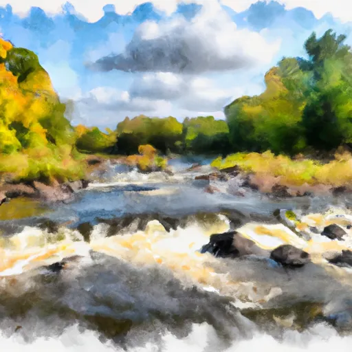
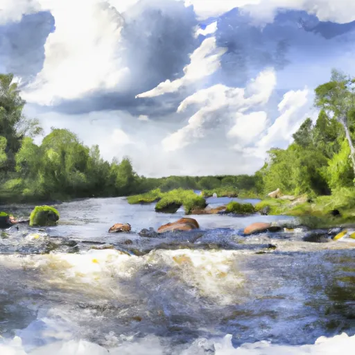
Goldmine is a federal-owned concrete dam located in St. Louis County, Minnesota, specifically in the city of Buyck. Managed by the Superior National Forest, the dam serves as a fish and wildlife pond and recreational area, with a primary purpose of supporting aquatic habitats. Completed in 1993, Goldmine has a structural height of 13 feet and a hydraulic height of 14 feet, with a storage capacity of 598 acre-feet and a surface area of 126 acres.
The dam is equipped with a controlled spillway and a slide gate as an outlet. Despite its low hazard potential, Goldmine is classified as having a very high risk due to its condition assessment being marked as "Not Rated." The last inspection of the dam was conducted in August 2015, with an inspection frequency of 10 years. While the risk assessment indicates potential concerns, the specific risk management measures and emergency action plans for the dam are currently undisclosed.
Overall, Goldmine presents an intriguing case study for water resource and climate enthusiasts, showcasing the complex interplay between dam infrastructure, environmental conservation, and risk management strategies. As a vital component of the local ecosystem, understanding and monitoring the condition of Goldmine is crucial for ensuring the safety of nearby communities and the preservation of wildlife habitats.
Plan around the weather
Same NOAA / yr.no feed Snoflo's iOS app uses. Watch the precipitation column on the meteogram -- rain on the basin upstream typically lifts inflow 24-72 hours later.
Next 5 days, hour by hour
Temperature line with weather symbols on top, snow + rain accumulation as columns, humidity as a dotted line.
5-day forecast table
Every 3 hours, broken out across temperature, snow, rain, humidity, and wind. Each cell is colour-coded relative to the column min/max.
| Time | Condition | Temp (°F) | Snow (in) | Rain (in) | Humidity (%) | Wind (mps) | Wind dir |
|---|---|---|---|---|---|---|---|
| Loading detailed forecast… | |||||||
15-day temperature & precipitation
Daily temperatures, snow, and rain projected over the next two weeks.
Nearby streamflow gauges
USGS streamgauges around Goldmine -- inflows here typically show up in storage 24-72 hours later.
| Streamgauge | Discharge | View |
|---|---|---|
| Vermilion River Nr Crane Lake | 150 cfs | → |
| Gold Portage Outlet From Kabetogama Lk Nr Ray | 585 cfs | → |
| Basswood River Near Winton | 488 cfs | → |
| South Kawishiwi R Abv White Iron Lake Nr Ely | 157 cfs | → |
| Little Fork River At Littlefork | 102 cfs | → |
| South Kawishiwi River Near Ely | 102 cfs | → |


About Goldmine
Where does the data for Goldmine come from?
Structural and regulatory data come from the U.S. Army Corps of Engineers' National Inventory of Dams (NID). Weather forecast comes from NOAA / yr.no -- the same feed Snoflo's iOS app uses.
How often is the report updated?
NID structural data refreshes annually as the Corps publishes updated assessments. The weather forecast refreshes throughout the day.
What does the Low hazard rating mean?
The Corps of Engineers' hazard potential classification grades probable consequences if the dam fails: High = probable loss of human life; Significant = no probable loss of human life but possible economic loss / environmental damage; Low = no probable loss of human life, only minor economic / environmental losses. See the Dam Data Reference card below for the full definitions.
What's "% of normal"?
The current storage value compared to the historical average storage on this calendar day. 100% = right on average; values above 100% mean above-normal storage (wet year); values below mean below-normal (dry year or drought).
Can I get alerts when storage crosses a threshold?
Yes -- alerts are managed in the Snoflo iOS app. Favorite this dam, set a threshold, and you'll get a push the moment conditions cross.
Dam data reference
Condition Assessment
- Satisfactory
- No existing or potential dam safety deficiencies are recognized. Acceptable performance is expected under all loading conditions (static, hydrologic, seismic) in accordance with the minimum applicable state or federal regulatory criteria or tolerable risk guidelines.
- Fair
- No existing dam safety deficiencies are recognized for normal operating conditions. Rare or extreme hydrologic and/or seismic events may result in a dam safety deficiency. Risk may be in the range to take further action.
- Poor
- A dam safety deficiency is recognized for normal operating conditions which may realistically occur. Remedial action is necessary. POOR may also be used when uncertainties exist as to critical analysis parameters which identify a potential dam safety deficiency.
- Unsatisfactory
- A dam safety deficiency is recognized that requires immediate or emergency remedial action for problem resolution.
- Not Rated
- The dam has not been inspected, is not under state or federal jurisdiction, or has been inspected but, for whatever reason, has not been rated.
Hazard Potential Classification
- High
- Dams assigned the high hazard potential classification are those where failure or mis-operation will probably cause loss of human life.
- Significant
- Dams assigned the significant hazard potential classification are those dams where failure or mis-operation results in no probable loss of human life but can cause economic loss, environmental damage, disruption of lifeline facilities, or impact other concerns. Significant hazard potential classification dams are often located in predominantly rural or agricultural areas but could be in areas with population and significant infrastructure.
- Low
- Dams assigned the low hazard potential classification are those where failure or mis-operation results in no probable loss of human life and low economic and/or environmental losses. Losses are principally limited to the owner's property.
- Undetermined
- Dams for which a downstream hazard potential has not been designated or is not provided.