


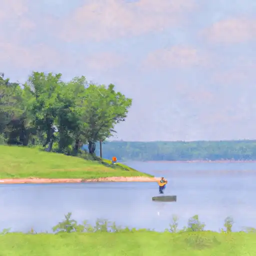
English Bench Watershed Site 7 Reservoir Report
Last Updated: May 1, 2026
°F
°F
mph
Wind
%
Humidity
English Bench Watershed Site 7, located in Allamakee, Iowa, is a crucial water resource managed by the local government and designed by the USDA NRCS.
Summary
The site is regulated by the Iowa DNR and serves multiple purposes including fire protection, stock, small fish pond, and flood risk reduction. The primary dam type is earth, with a height of 33 feet and a length of 243 feet, completed in 1970.
With a storage capacity of 61 acre-feet, this site covers a surface area of 3 acres and has a drainage area of 0.37 square miles. Despite its low hazard potential and moderate risk assessment, the condition of English Bench Watershed Site 7 is currently not rated. Its emergency action plan status and risk management measures remain undisclosed. Overall, this site plays a vital role in water resource management and climate resilience efforts in the region, serving as a valuable asset for the community and the environment.
Regional Streamflow Levels
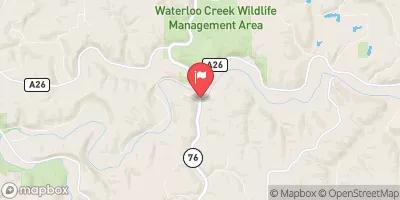 Upper Iowa River Near Dorchester
|
937cfs |
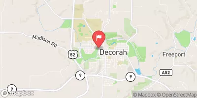 Upper Iowa River At Decorah
|
640cfs |
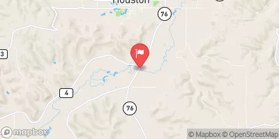 South Fork Root River Near Houston
|
198cfs |
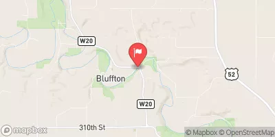 Upper Iowa River At Bluffton
|
416cfs |
 Root River Near Houston
|
1160cfs |
 Yellow River At Ion
|
356cfs |
15-Day Long Term Forecast
Year Completed |
1970 |
Dam Length |
243 |
Dam Height |
33 |
River Or Stream |
TR-UPPER IOWA RIVER |
Primary Dam Type |
Earth |
Surface Area |
3 |
Drainage Area |
0.37 |
Nid Storage |
61 |
Hazard Potential |
Low |
Foundations |
Soil |
Nid Height |
33 |
Seasonal Comparison
5-Day Hourly Forecast Detail
Dam Data Reference
Condition Assessment
SatisfactoryNo existing or potential dam safety deficiencies are recognized. Acceptable performance is expected under all loading conditions (static, hydrologic, seismic) in accordance with the minimum applicable state or federal regulatory criteria or tolerable risk guidelines.
Fair
No existing dam safety deficiencies are recognized for normal operating conditions. Rare or extreme hydrologic and/or seismic events may result in a dam safety deficiency. Risk may be in the range to take further action. Note: Rare or extreme event is defined by the regulatory agency based on their minimum
Poor A dam safety deficiency is recognized for normal operating conditions which may realistically occur. Remedial action is necessary. POOR may also be used when uncertainties exist as to critical analysis parameters which identify a potential dam safety deficiency. Investigations and studies are necessary.
Unsatisfactory
A dam safety deficiency is recognized that requires immediate or emergency remedial action for problem resolution.
Not Rated
The dam has not been inspected, is not under state or federal jurisdiction, or has been inspected but, for whatever reason, has not been rated.
Not Available
Dams for which the condition assessment is restricted to approved government users.
Hazard Potential Classification
HighDams assigned the high hazard potential classification are those where failure or mis-operation will probably cause loss of human life.
Significant
Dams assigned the significant hazard potential classification are those dams where failure or mis-operation results in no probable loss of human life but can cause economic loss, environment damage, disruption of lifeline facilities, or impact other concerns. Significant hazard potential classification dams are often located in predominantly rural or agricultural areas but could be in areas with population and significant infrastructure.
Low
Dams assigned the low hazard potential classification are those where failure or mis-operation results in no probable loss of human life and low economic and/or environmental losses. Losses are principally limited to the owner's property.
Undetermined
Dams for which a downstream hazard potential has not been designated or is not provided.
Not Available
Dams for which the downstream hazard potential is restricted to approved government users.
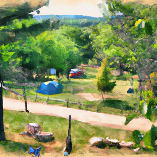
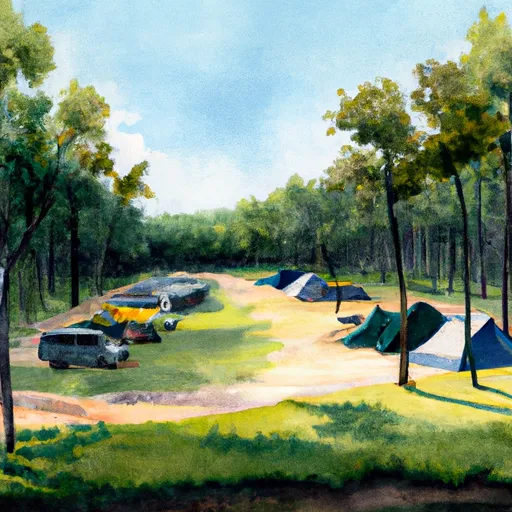
Area Campgrounds
 Highland General Store & Campground
 Blackhawk Park - DeSoto
 Blackhawk Park Campground
 Blackhawk County Park
 Trollskogen City Park
 Waukon City Park Campground
 Lycurgus Road Allamakee County
River Runs
-
 The "Lower" Dam, Near The Confluence Of Coon Creek To Lane'S Bridge
-
 The Town Of Bluffton To The "Lower" Dam, Near The Confluence Of Coon Creek
-
 Western Boundary Of Effigy Mounds National Monument To Boundary Of Effigy Mounds National Monument
-
 The Minnesota-Iowa State Border To Ends Near The Town Of Bluffton, Iowa
-
 The Big Green River
To The River'S Mouth At The Mississippi River
The Big Green River
To The River'S Mouth At The Mississippi River
 Pine Creek
 New Albin Big Lake
 Trout Run
 Little Paint Creek
 Hickory Creek