Stigler Dam Dam

Stigler Dam
Stigler Dam, located in Dillsboro, North Carolina, is a privately owned structure primarily used for recreation purposes along the Cane Creek-Tr river. This earth dam stands at a hydraulic height of 23.4 feet and a structural height of 25.5 feet, with a length of 160 feet and a normal storage capacity of 10 acre-feet. Despite not being state regulated, the dam has a high hazard potential, indicating the potential risk it poses to downstream areas in case of a failure.
The last inspection of Stigler Dam took place in April 1999, with a hazard potential rating of 'High' and a condition assessment labeled as 'Not Rated'. The dam does not have an Emergency Action Plan (EAP) prepared, raising concerns about the readiness to respond to potential emergencies. Although the risk assessment and management measures are not specified in the data, the lack of recent updates on key safety protocols like the EAP and inundation maps is a critical point for water resource and climate enthusiasts to consider.
Given the age of the last inspection and the absence of recent updates on emergency preparedness, there may be a need for further assessment and potential improvements to ensure the safety and resilience of Stigler Dam. Climate enthusiasts and water resource experts may find interest in monitoring the risk profile and management of this privately owned dam, especially in light of changing climate patterns and the importance of maintaining infrastructure for water resource management and public safety.
Plan around the weather
Same NOAA / yr.no feed Snoflo's iOS app uses. Watch the precipitation column on the meteogram -- rain on the basin upstream typically lifts inflow 24-72 hours later.
Next 5 days, hour by hour
Temperature line with weather symbols on top, snow + rain accumulation as columns, humidity as a dotted line.
5-day forecast table
Every 3 hours, broken out across temperature, snow, rain, humidity, and wind. Each cell is colour-coded relative to the column min/max.
| Time | Condition | Temp (°F) | Snow (in) | Rain (in) | Humidity (%) | Wind (mps) | Wind dir |
|---|---|---|---|---|---|---|---|
| Loading detailed forecast… | |||||||
15-day temperature & precipitation
Daily temperatures, snow, and rain projected over the next two weeks.
Nearby streamflow gauges
USGS streamgauges around Stigler Dam -- inflows here typically show up in storage 24-72 hours later.
| Streamgauge | Discharge | View |
|---|---|---|
| Tuckasegee River At Sr 1172 Nr Cullowhee | 343 cfs | → |
| Tuckasegee River At Barker's Creek | 345 cfs | → |
| W F Pigeon R Above Lake Logan Nr Hazelwood | 28 cfs | → |
| Oconaluftee River At Birdtown | 327 cfs | → |
| West Fork Pigeon River Near Retreat | 36 cfs | → |
| W Fk Pigeon R At Bethel | 50 cfs | → |
Make a day of it
Boat launches, lakeside camping, fishing access, and other reservoirs near Stigler Dam.
Boat launches
See all →


Campgrounds
See all →


Fishing spots
See all →


River runs
See all →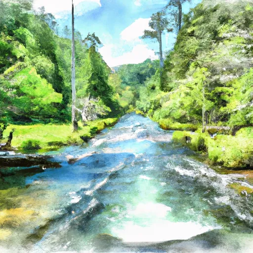


More reservoirs
See all →
About Stigler Dam
Where does the data for Stigler Dam come from?
Structural and regulatory data come from the U.S. Army Corps of Engineers' National Inventory of Dams (NID). Weather forecast comes from NOAA / yr.no -- the same feed Snoflo's iOS app uses.
How often is the report updated?
NID structural data refreshes annually as the Corps publishes updated assessments. The weather forecast refreshes throughout the day.
What does the High hazard rating mean?
The Corps of Engineers' hazard potential classification grades probable consequences if the dam fails: High = probable loss of human life; Significant = no probable loss of human life but possible economic loss / environmental damage; Low = no probable loss of human life, only minor economic / environmental losses. See the Dam Data Reference card below for the full definitions.
What's "% of normal"?
The current storage value compared to the historical average storage on this calendar day. 100% = right on average; values above 100% mean above-normal storage (wet year); values below mean below-normal (dry year or drought).
Can I get alerts when storage crosses a threshold?
Yes -- alerts are managed in the Snoflo iOS app. Favorite this dam, set a threshold, and you'll get a push the moment conditions cross.
Dam data reference
Condition Assessment
- Satisfactory
- No existing or potential dam safety deficiencies are recognized. Acceptable performance is expected under all loading conditions (static, hydrologic, seismic) in accordance with the minimum applicable state or federal regulatory criteria or tolerable risk guidelines.
- Fair
- No existing dam safety deficiencies are recognized for normal operating conditions. Rare or extreme hydrologic and/or seismic events may result in a dam safety deficiency. Risk may be in the range to take further action.
- Poor
- A dam safety deficiency is recognized for normal operating conditions which may realistically occur. Remedial action is necessary. POOR may also be used when uncertainties exist as to critical analysis parameters which identify a potential dam safety deficiency.
- Unsatisfactory
- A dam safety deficiency is recognized that requires immediate or emergency remedial action for problem resolution.
- Not Rated
- The dam has not been inspected, is not under state or federal jurisdiction, or has been inspected but, for whatever reason, has not been rated.
Hazard Potential Classification
- High
- Dams assigned the high hazard potential classification are those where failure or mis-operation will probably cause loss of human life.
- Significant
- Dams assigned the significant hazard potential classification are those dams where failure or mis-operation results in no probable loss of human life but can cause economic loss, environmental damage, disruption of lifeline facilities, or impact other concerns. Significant hazard potential classification dams are often located in predominantly rural or agricultural areas but could be in areas with population and significant infrastructure.
- Low
- Dams assigned the low hazard potential classification are those where failure or mis-operation results in no probable loss of human life and low economic and/or environmental losses. Losses are principally limited to the owner's property.
- Undetermined
- Dams for which a downstream hazard potential has not been designated or is not provided.