


Piedmont Water Supply Intake Dam Reservoir Report
Last Updated: May 7, 2026
Nearby: Savage River Dam Newpage Westvaco Dam
°F
°F
mph
Wind
%
Humidity
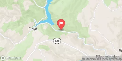
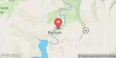
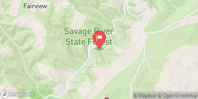
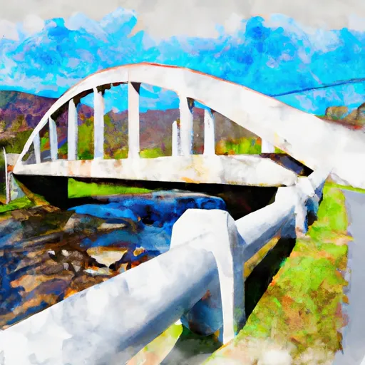
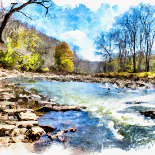
The Piedmont Water Supply Intake Dam in Bloomington, Maryland, plays a crucial role in providing irrigation water from the Savage River.
Summary
Built in 1911, this earth dam stands at 8 feet high and spans 118 feet in length, with a storage capacity of 60 acre-feet. The dam is state-regulated by the MD Dam Safety agency, ensuring its safety and compliance with inspection, permitting, and enforcement requirements.
Despite its low hazard potential, the Piedmont Water Supply Intake Dam underwent structural modifications in 1998 to enhance its integrity. With a moderate risk rating, the dam is closely monitored and inspected every 5 years for any maintenance needs. The spillway, with a width of 200 feet, offers an uncontrolled release for excess water, while the dam's primary purpose of irrigation serves the local community's water needs. For water resource and climate enthusiasts, the Piedmont Water Supply Intake Dam stands as a vital infrastructure supporting water supply and management in Garrett County, Maryland.
Regional Streamflow Levels
15-Day Long Term Forecast
Years Modified |
1998 - Structural |
Year Completed |
1911 |
Dam Length |
118 |
Dam Height |
8 |
River Or Stream |
Savage River |
Primary Dam Type |
Earth |
Surface Area |
10 |
Drainage Area |
120 |
Nid Storage |
60 |
Outlet Gates |
Needle - 0 |
Hazard Potential |
Low |
Foundations |
Soil |
Nid Height |
8 |
Seasonal Comparison
5-Day Hourly Forecast Detail
Dam Data Reference
Condition Assessment
SatisfactoryNo existing or potential dam safety deficiencies are recognized. Acceptable performance is expected under all loading conditions (static, hydrologic, seismic) in accordance with the minimum applicable state or federal regulatory criteria or tolerable risk guidelines.
Fair
No existing dam safety deficiencies are recognized for normal operating conditions. Rare or extreme hydrologic and/or seismic events may result in a dam safety deficiency. Risk may be in the range to take further action. Note: Rare or extreme event is defined by the regulatory agency based on their minimum
Poor A dam safety deficiency is recognized for normal operating conditions which may realistically occur. Remedial action is necessary. POOR may also be used when uncertainties exist as to critical analysis parameters which identify a potential dam safety deficiency. Investigations and studies are necessary.
Unsatisfactory
A dam safety deficiency is recognized that requires immediate or emergency remedial action for problem resolution.
Not Rated
The dam has not been inspected, is not under state or federal jurisdiction, or has been inspected but, for whatever reason, has not been rated.
Not Available
Dams for which the condition assessment is restricted to approved government users.
Hazard Potential Classification
HighDams assigned the high hazard potential classification are those where failure or mis-operation will probably cause loss of human life.
Significant
Dams assigned the significant hazard potential classification are those dams where failure or mis-operation results in no probable loss of human life but can cause economic loss, environment damage, disruption of lifeline facilities, or impact other concerns. Significant hazard potential classification dams are often located in predominantly rural or agricultural areas but could be in areas with population and significant infrastructure.
Low
Dams assigned the low hazard potential classification are those where failure or mis-operation results in no probable loss of human life and low economic and/or environmental losses. Losses are principally limited to the owner's property.
Undetermined
Dams for which a downstream hazard potential has not been designated or is not provided.
Not Available
Dams for which the downstream hazard potential is restricted to approved government users.
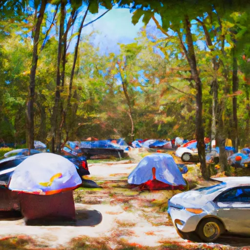
Area Campgrounds
 Big Run State Park
 Robert W. Craig - Jennings Randolph Lake
 Robert W. Craig Memorial Campground
 Savage River State Forest Dispersed
 New Germany State Park
 New Germany State Park Campground
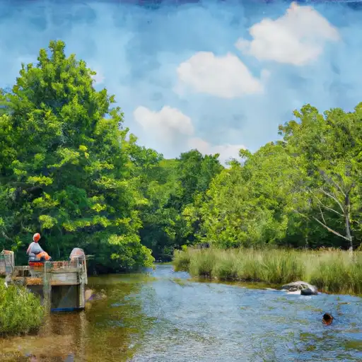
 Savage River Reservoir Near Bloomington
 Bloomington Lake Near Elk Garden
 South Mill Creek Near Mozer
 Mount Zion Road Garrett County
River Runs
-
 Begins As River Passes Under The Herrington Manor Road Bridge At Oakland, Maryland To The Corporate Boundary Of Friendsville, Maryland
-
 Begins Below The Youghiogheny River Lake Dam In Confluence, Pennsylvania To Ends In South Connellsville, Pennsylvania
-
 State Park Bridge To North Fork
-
 Perennial Stream At Forks To Dolly Sods Wilderness Boundary
-
 Jake Hill Road Bridge To Shreve Store
-
 High Ridge Run To Outskirts Of Hopeville
 Georges Creek
 Dans Mountain Pond
 Little Youghiogheny River Reservoir
 Deep Creek Lake
 Broadford Lake