


Tugalo Reservoir Report
Last Updated: April 26, 2026
Nearby: Yonah Yonah Low Reservoir Rim
°F
°F
mph
Wind
%
Humidity
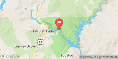
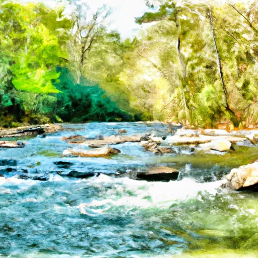
Tugalo, a gravity dam completed in 1923, stands as a testament to Georgia's hydroelectric power generation capabilities.
Summary
Located in the Tallulah River in Habersham County, the dam has a structural height of 155 feet and a length of 830 feet, providing a storage capacity of 43,000 acre-feet. With a primary purpose of hydroelectric power generation, Tugalo also serves recreational and fish and wildlife pond purposes.
Managed by the Federal Energy Regulatory Commission, Tugalo Dam has a controlled spillway width of 357 feet and a maximum discharge capacity of 97,000 cubic feet per second. Despite its age, the dam's hazard potential is rated as high, with a very high risk assessment score of 1. While the condition assessment is not available, the emergency action plan for the dam was last revised in December 2020, ensuring preparedness for any potential emergencies.
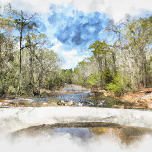
Surrounded by the natural beauty of Madison SC, Tugalo Dam stands as a historic landmark in Georgia's water resource management infrastructure. As climate change continues to impact the region, the importance of maintaining and monitoring this vital hydroelectric facility for both energy production and environmental conservation cannot be overstated.
Regional Streamflow Levels
 Tallulah River Ab Powerhouse
|
39cfs |
 Chattooga River Near Clayton
|
258cfs |
 Tallulah River Near Clayton
|
70cfs |
 Chattahoochee River Near Leaf
|
175cfs |
 Chattahoochee River Near Cornelia
|
314cfs |
 Chattahoochee River At Helen
|
68cfs |
15-Day Long Term Forecast
Year Completed |
1923 |
Dam Length |
830 |
Dam Height |
155 |
River Or Stream |
Tallulah River |
Primary Dam Type |
Gravity |
Surface Area |
597 |
Hydraulic Height |
155 |
Drainage Area |
464 |
Nid Storage |
43000 |
Structural Height |
155 |
Outlet Gates |
Flap - 14 |
Hazard Potential |
High |
Foundations |
Rock |
Nid Height |
155 |
Seasonal Comparison
5-Day Hourly Forecast Detail
Dam Data Reference
Condition Assessment
SatisfactoryNo existing or potential dam safety deficiencies are recognized. Acceptable performance is expected under all loading conditions (static, hydrologic, seismic) in accordance with the minimum applicable state or federal regulatory criteria or tolerable risk guidelines.
Fair
No existing dam safety deficiencies are recognized for normal operating conditions. Rare or extreme hydrologic and/or seismic events may result in a dam safety deficiency. Risk may be in the range to take further action. Note: Rare or extreme event is defined by the regulatory agency based on their minimum
Poor A dam safety deficiency is recognized for normal operating conditions which may realistically occur. Remedial action is necessary. POOR may also be used when uncertainties exist as to critical analysis parameters which identify a potential dam safety deficiency. Investigations and studies are necessary.
Unsatisfactory
A dam safety deficiency is recognized that requires immediate or emergency remedial action for problem resolution.
Not Rated
The dam has not been inspected, is not under state or federal jurisdiction, or has been inspected but, for whatever reason, has not been rated.
Not Available
Dams for which the condition assessment is restricted to approved government users.
Hazard Potential Classification
HighDams assigned the high hazard potential classification are those where failure or mis-operation will probably cause loss of human life.
Significant
Dams assigned the significant hazard potential classification are those dams where failure or mis-operation results in no probable loss of human life but can cause economic loss, environment damage, disruption of lifeline facilities, or impact other concerns. Significant hazard potential classification dams are often located in predominantly rural or agricultural areas but could be in areas with population and significant infrastructure.
Low
Dams assigned the low hazard potential classification are those where failure or mis-operation results in no probable loss of human life and low economic and/or environmental losses. Losses are principally limited to the owner's property.
Undetermined
Dams for which a downstream hazard potential has not been designated or is not provided.
Not Available
Dams for which the downstream hazard potential is restricted to approved government users.
Area Campgrounds
 Lake Yonah County Park
 Tallulah Gorge State Park
 Rabun Beach
 Pear Tree Hill Group Camp
 Lake Rabun Beach Recreation Area
 Toccoa Falls College RV Park
Nearby Reservoirs
River Runs
-
 Confluence Of Brasstown Creek And Little Brasstown Creek Just South Of Brasstown Falls Road (Fs 751) To Confluence Of Mill Branch, Brasstown Creek And Boatwright Creek Near Boatwright Road (Fs 753)
-
 Crpssing Of Land Bridge Road, Sc 196 To 1/4 Mile Below Fs 745 And Cassidy Bridge Hunt Camp
-
 South Of Cedar Creek Rifle Range To Confluence With Chauga River
-
 1/4 Mile Below Fs 745 And Cassidy Bridge Hunt Camp To Confluence Of Cedar Creek
-
 Confluence Of Cedar Creek To 1/4 Mile Below The Nf Boundary And Fh 110, Cobbs Bridge Road
 Tallulah Falls Lake
 Lake Rabun
 Lawson Lake
 Seed Lake
 Presbyterian Lake